1945 Yorktown S West Norriton, PA 19403
West Norriton Township NeighborhoodEstimated Value: $332,000 - $344,330
3
Beds
3
Baths
1,280
Sq Ft
$265/Sq Ft
Est. Value
About This Home
This home is located at 1945 Yorktown S, West Norriton, PA 19403 and is currently estimated at $339,083, approximately $264 per square foot. 1945 Yorktown S is a home located in Montgomery County with nearby schools including Charles Blockson Middle School, Paul V Fly Elementary School, and East Norriton Middle School.
Ownership History
Date
Name
Owned For
Owner Type
Purchase Details
Closed on
Oct 29, 2020
Sold by
Waters Craig K
Bought by
Zhang Haiyan
Current Estimated Value
Home Financials for this Owner
Home Financials are based on the most recent Mortgage that was taken out on this home.
Original Mortgage
$133,500
Outstanding Balance
$118,796
Interest Rate
2.8%
Mortgage Type
New Conventional
Estimated Equity
$220,287
Purchase Details
Closed on
Aug 31, 1994
Sold by
Gallo Ralph and Gallo Patricia Beth
Bought by
Waters Craig K
Create a Home Valuation Report for This Property
The Home Valuation Report is an in-depth analysis detailing your home's value as well as a comparison with similar homes in the area
Home Values in the Area
Average Home Value in this Area
Purchase History
| Date | Buyer | Sale Price | Title Company |
|---|---|---|---|
| Zhang Haiyan | $222,500 | None Available | |
| Waters Craig K | $125,750 | -- |
Source: Public Records
Mortgage History
| Date | Status | Borrower | Loan Amount |
|---|---|---|---|
| Open | Zhang Haiyan | $133,500 |
Source: Public Records
Tax History Compared to Growth
Tax History
| Year | Tax Paid | Tax Assessment Tax Assessment Total Assessment is a certain percentage of the fair market value that is determined by local assessors to be the total taxable value of land and additions on the property. | Land | Improvement |
|---|---|---|---|---|
| 2025 | $5,416 | $110,860 | $23,300 | $87,560 |
| 2024 | $5,416 | $110,860 | $23,300 | $87,560 |
| 2023 | $5,355 | $110,860 | $23,300 | $87,560 |
| 2022 | $5,320 | $110,860 | $23,300 | $87,560 |
| 2021 | $5,288 | $110,860 | $23,300 | $87,560 |
| 2020 | $5,130 | $110,860 | $23,300 | $87,560 |
| 2019 | $5,016 | $110,860 | $23,300 | $87,560 |
| 2018 | $3,846 | $110,860 | $23,300 | $87,560 |
| 2017 | $4,735 | $110,860 | $23,300 | $87,560 |
| 2016 | $4,691 | $110,860 | $23,300 | $87,560 |
| 2015 | $4,452 | $110,860 | $23,300 | $87,560 |
| 2014 | $4,347 | $110,860 | $23,300 | $87,560 |
Source: Public Records
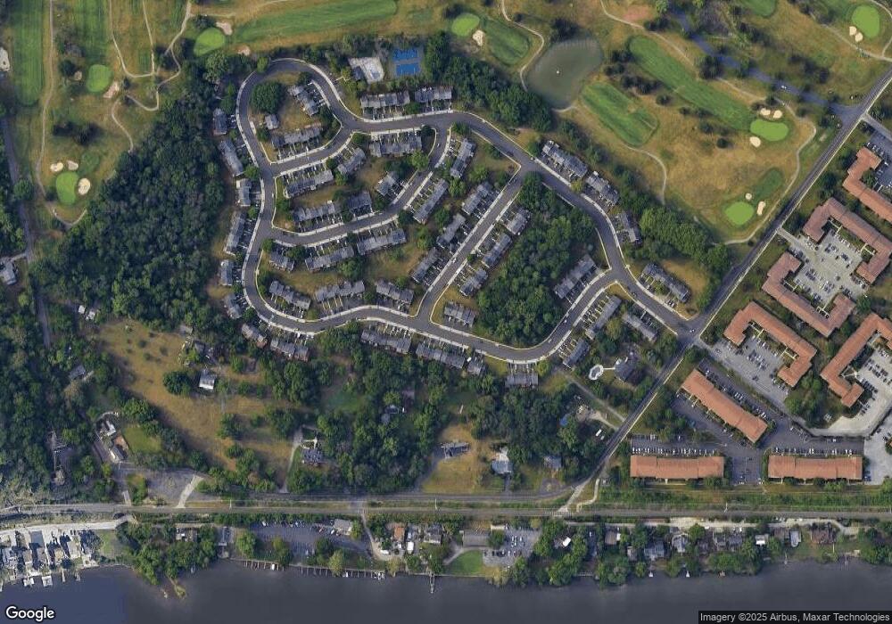
Map
Nearby Homes
- 526 Bassett Ln
- 2012 Yorktown S
- 1914 Yorktown S
- 2017 Yorktown S
- 1905 Yorktown N
- 143 Riversedge Dr Unit CONDO 143
- 176 Riversedge Dr
- 121 Woodstream Dr Unit CONDO 121
- 167 Woodstream Dr Unit CONDO 167
- 307 Brandon Rd
- 402 Brandon Rd
- 533 Brandon Rd
- 440 Rittenhouse Blvd
- 548 Susan Dr
- 365 Norris Hall Ln
- 0 Roosevelt Blvd
- 1924 Juniata Rd
- 2504 Grant Ct
- 735 Champlain Dr
- 1503 Reagan Ct
- 1945 Yorktown S
- 1943 Yorktown S
- 1943 Yorktown S
- 1941 Yorktown S
- 1941 Yorktown S
- 1939 Yorktown S
- 1939 Yorktown S
- 534 Bassett Ln
- 1937 Yorktown S
- 1937 Yorktown S
- 2001 Yorktown S
- 532 Bassett Ln
- 530 Bassett Ln
- 2003 Yorktown S
- 1956 Yorktown S
- 1952 Yorktown S
- 1954 Yorktown S
- 528 Bassett Ln
- 1958 Yorktown S
- 1950 Yorktown S