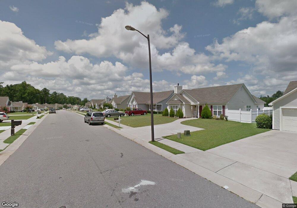
1946 Bridgewood Rd Rocky Mount, NC 27804
Estimated Value: $206,000 - $237,000
3
Beds
2
Baths
1,504
Sq Ft
$147/Sq Ft
Est. Value
About This Home
This home is located at 1946 Bridgewood Rd, Rocky Mount, NC 27804 and is currently estimated at $220,680, approximately $146 per square foot. 1946 Bridgewood Rd is a home located in Nash County with nearby schools including Benvenue Elementary School, Rocky Mount Middle School, and Rocky Mount High School.
Ownership History
Date
Name
Owned For
Owner Type
Purchase Details
Closed on
Apr 11, 2007
Sold by
Fonvielle Steven Cameron
Bought by
Clemons Link and Clemons Ossie
Current Estimated Value
Home Financials for this Owner
Home Financials are based on the most recent Mortgage that was taken out on this home.
Original Mortgage
$119,668
Outstanding Balance
$71,797
Interest Rate
6.1%
Mortgage Type
FHA
Estimated Equity
$148,883
Purchase Details
Closed on
Apr 14, 2005
Sold by
Harrison & Harrison Inc
Bought by
Fonvielle Steven Cameron
Home Financials for this Owner
Home Financials are based on the most recent Mortgage that was taken out on this home.
Original Mortgage
$103,920
Interest Rate
5.88%
Mortgage Type
New Conventional
Create a Home Valuation Report for This Property
The Home Valuation Report is an in-depth analysis detailing your home's value as well as a comparison with similar homes in the area
Home Values in the Area
Average Home Value in this Area
Purchase History
| Date | Buyer | Sale Price | Title Company |
|---|---|---|---|
| Clemons Link | $138,000 | None Available | |
| Fonvielle Steven Cameron | $140,000 | None Available |
Source: Public Records
Mortgage History
| Date | Status | Borrower | Loan Amount |
|---|---|---|---|
| Open | Clemons Link | $119,668 | |
| Previous Owner | Fonvielle Steven Cameron | $103,920 |
Source: Public Records
Tax History Compared to Growth
Tax History
| Year | Tax Paid | Tax Assessment Tax Assessment Total Assessment is a certain percentage of the fair market value that is determined by local assessors to be the total taxable value of land and additions on the property. | Land | Improvement |
|---|---|---|---|---|
| 2025 | $1,187 | $188,340 | $22,050 | $166,290 |
| 2024 | $1,187 | $123,030 | $22,050 | $100,980 |
| 2023 | $824 | $123,030 | $0 | $0 |
| 2022 | $843 | $123,030 | $22,050 | $100,980 |
| 2021 | $824 | $123,030 | $22,050 | $100,980 |
| 2020 | $824 | $123,030 | $22,050 | $100,980 |
| 2019 | $824 | $123,030 | $22,050 | $100,980 |
| 2018 | $824 | $123,030 | $0 | $0 |
| 2017 | $824 | $123,030 | $0 | $0 |
| 2015 | $902 | $134,564 | $0 | $0 |
| 2014 | $902 | $134,564 | $0 | $0 |
Source: Public Records
Map
Nearby Homes
- 1412 Clubview Dr
- 2038 Bridgewood Rd
- 1704 Old Barn Rd
- 36 -A Country Club Dr
- 1605 Bobwhite Ln
- 1820 Burnt Mill Rd
- 1732 Bobwhite Ln
- 1739 Bobwhite Ln
- 1760 Country Club Rd
- 11 Canvasback Point
- 109 Wimberly Ave
- 1152 Freer Dr
- 148 Ambergate Ct
- 152 Ambergate Ct
- 144 Ambergate Ct
- 136 Ambergate Ct
- 145 Ambergate Ct
- 1950 Bridgewood Rd
- 1942 Bridgewood Rd
- 1973 Sapphire Rd
- 1977 Sapphire Rd
- 1969 Sapphire Rd
- 1954 Bridgewood Rd
- 1938 Bridgewood Rd
- 1981 Sapphire Rd
- 1965 Sapphire Rd
- 1947 Bridgewood Rd
- 1943 Bridgewood Rd
- 1951 Bridgewood Rd
- 1985 Sapphire Rd
- 1961 Sapphire Rd
- 2002 Bridgewood Rd
- 1939 Bridgewood Rd
- 1934 Bridgewood Rd
- 1989 Sapphire Rd
- 1957 Sapphire Rd