1946 Channel St Unit 1 North Bend, OR 97459
Estimated Value: $379,588 - $384,000
3
Beds
2
Baths
1,352
Sq Ft
$282/Sq Ft
Est. Value
About This Home
This home is located at 1946 Channel St Unit 1, North Bend, OR 97459 and is currently estimated at $381,794, approximately $282 per square foot. 1946 Channel St Unit 1 is a home located in Coos County with nearby schools including Hillcrest Elementary School, North Bay Elementary School, and North Bend Middle School.
Ownership History
Date
Name
Owned For
Owner Type
Purchase Details
Closed on
Nov 16, 2022
Sold by
Patel Bhargavbhai K
Bought by
964 Inlet Loop Llc
Current Estimated Value
Purchase Details
Closed on
Oct 29, 2021
Sold by
Smith Linda Edna Good and Good Revocab Marita Mendenhall
Bought by
Patel Bhargavbhai K and Gor Itaiben R
Purchase Details
Closed on
May 6, 2014
Sold by
Mendenhall Goood Marita and Good Smith Linda Edna
Bought by
Good Smith Linda Edna and Marita Mendenhall Good Revocable Trust
Purchase Details
Closed on
Oct 20, 2012
Sold by
Good Marita
Bought by
Good Marita Mendenhall and Marita Mendenhall Good Revocable Trust
Create a Home Valuation Report for This Property
The Home Valuation Report is an in-depth analysis detailing your home's value as well as a comparison with similar homes in the area
Home Values in the Area
Average Home Value in this Area
Purchase History
| Date | Buyer | Sale Price | Title Company |
|---|---|---|---|
| 964 Inlet Loop Llc | -- | -- | |
| Patel Bhargavbhai K | $235,000 | Ticor Title Coos Bay | |
| Good Smith Linda Edna | -- | None Available | |
| Good Marita Mendenhall | -- | None Available |
Source: Public Records
Tax History Compared to Growth
Tax History
| Year | Tax Paid | Tax Assessment Tax Assessment Total Assessment is a certain percentage of the fair market value that is determined by local assessors to be the total taxable value of land and additions on the property. | Land | Improvement |
|---|---|---|---|---|
| 2024 | $3,216 | $209,030 | -- | -- |
| 2023 | $3,122 | $202,950 | $0 | $0 |
| 2022 | $3,015 | $192,340 | $0 | $0 |
| 2021 | $3,088 | $186,740 | $0 | $0 |
| 2020 | $2,893 | $186,740 | $0 | $0 |
| 2019 | $2,767 | $176,030 | $0 | $0 |
| 2018 | $2,689 | $170,910 | $0 | $0 |
| 2017 | $2,614 | $165,940 | $0 | $0 |
| 2016 | $2,535 | $161,110 | $0 | $0 |
| 2015 | $2,337 | $156,420 | $0 | $0 |
| 2014 | $2,337 | $153,350 | $0 | $0 |
Source: Public Records
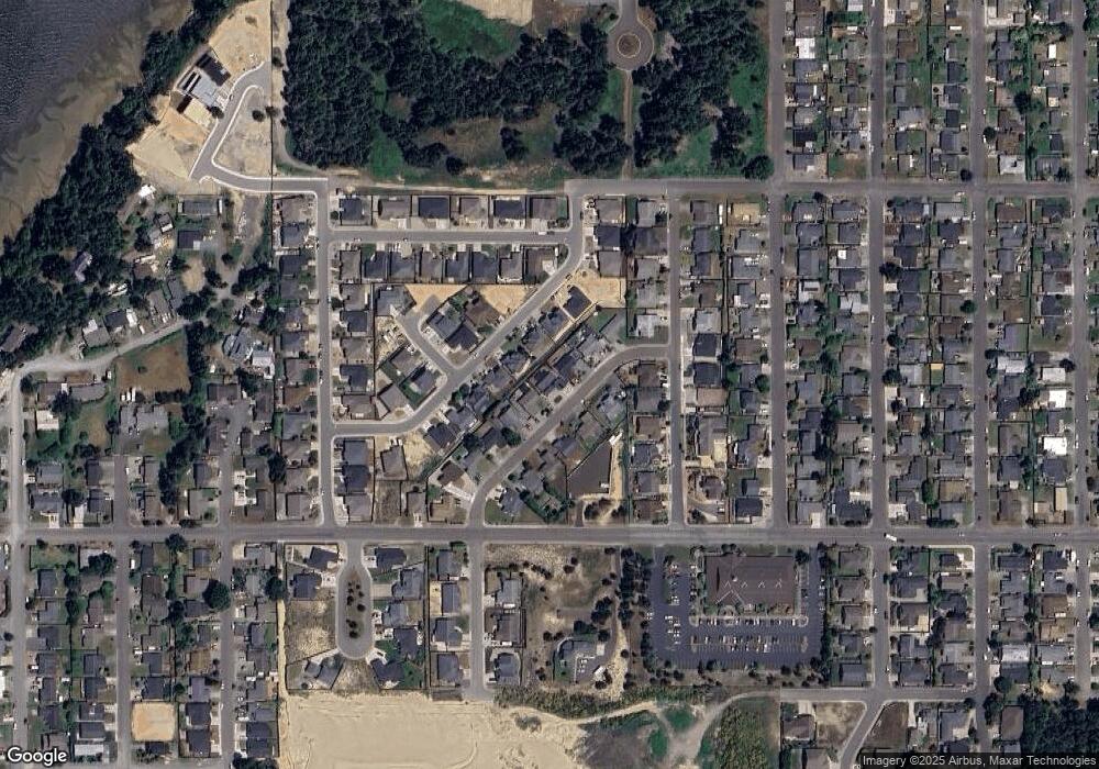
Map
Nearby Homes
- 1915 Arthur St
- 2065 Hayes St
- 1900 Grant St
- 1275 Fenwick St
- 1940 Pacific View Ln
- 2180 Hayes St
- 1123 Crocker St
- 1400 Holloway Mews
- 1344 Seagate Ave
- 2270 Hayes St
- 1065 Crocker St
- 1655 Garfield St
- 1065 Fenwick St
- 2317 Laura Ln
- 1125 Augustine Ave
- 1710 Johnson St
- 2215 Garfield St
- 0 Seagate Ave Unit 24532470
- 1711 Johnson St
- 1230 Seagate Ave
- 1946 Channel St
- 1992 Channel St
- 1956 Channel St
- 1863 Steelhead St
- 1859 Steelhead St
- 1843 Steelhead St
- 1833 Steelhead St
- 1829 Steelhead St
- 1869 Steelhead St
- 1966 Channel St
- 1926 Channel St
- 1937 Channel St
- 1853 Steelhead St
- 1927 Channel St
- 1947 Channel St
- 1883 Steelhead St
- 1873 Steelhead St
- 1967 Channel St
- 1976 Channel St
- 1849 Steelhead St