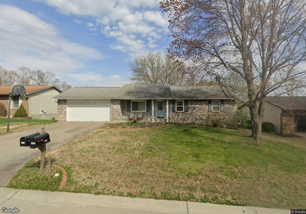
1946 David St Cape Girardeau, MO 63701
Estimated Value: $217,119 - $237,000
3
Beds
2
Baths
1,189
Sq Ft
$192/Sq Ft
Est. Value
About This Home
This home is located at 1946 David St, Cape Girardeau, MO 63701 and is currently estimated at $228,030, approximately $191 per square foot. 1946 David St is a home with nearby schools including Alma Schrader Elementary School, Central Middle School, and Central Junior High School.
Ownership History
Date
Name
Owned For
Owner Type
Purchase Details
Closed on
Mar 30, 2007
Sold by
981 Main Limited Partnership
Bought by
Hammond Patrick O
Current Estimated Value
Home Financials for this Owner
Home Financials are based on the most recent Mortgage that was taken out on this home.
Original Mortgage
$115,600
Outstanding Balance
$70,470
Interest Rate
6.3%
Mortgage Type
New Conventional
Estimated Equity
$157,560
Purchase Details
Closed on
Aug 25, 2006
Sold by
Raddle Tammy Roberta and Hilderbrand Kevin L
Bought by
981 Main Ltd Partership
Create a Home Valuation Report for This Property
The Home Valuation Report is an in-depth analysis detailing your home's value as well as a comparison with similar homes in the area
Home Values in the Area
Average Home Value in this Area
Purchase History
| Date | Buyer | Sale Price | Title Company |
|---|---|---|---|
| Hammond Patrick O | -- | None Available | |
| 981 Main Ltd Partership | -- | None Available |
Source: Public Records
Mortgage History
| Date | Status | Borrower | Loan Amount |
|---|---|---|---|
| Open | Hammond Patrick O | $115,600 |
Source: Public Records
Tax History Compared to Growth
Tax History
| Year | Tax Paid | Tax Assessment Tax Assessment Total Assessment is a certain percentage of the fair market value that is determined by local assessors to be the total taxable value of land and additions on the property. | Land | Improvement |
|---|---|---|---|---|
| 2025 | $14 | $28,160 | $3,180 | $24,980 |
| 2024 | $14 | $26,810 | $3,020 | $23,790 |
| 2023 | $1,393 | $26,810 | $3,020 | $23,790 |
| 2022 | $1,285 | $24,720 | $2,790 | $21,930 |
| 2021 | $1,285 | $24,720 | $2,790 | $21,930 |
| 2020 | $1,289 | $24,720 | $2,790 | $21,930 |
| 2019 | $1,287 | $24,720 | $0 | $0 |
| 2018 | $1,285 | $24,720 | $0 | $0 |
| 2017 | $1,288 | $24,720 | $0 | $0 |
| 2016 | $1,283 | $24,720 | $0 | $0 |
| 2015 | $1,284 | $24,720 | $0 | $0 |
| 2014 | $1,290 | $24,720 | $0 | $0 |
Source: Public Records
Map
Nearby Homes
- 1966 Randol Ave
- 1938 Westwood Dr
- 1960 Briarwood Dr
- 2550 Marvin St
- 2062 Concord Place
- 2415 Perryville Rd
- 1623 Lexington Ave
- 2412 Masters Dr
- 1912 Perryville Rd
- 2520 Horseshoe Ridge
- 1608 Lexington Ave
- 1701 Brookwood Dr
- 2519 Horseshoe Ridge
- 2137 Wood Hollow Ct
- 1705 Paul Revere Dr
- 2085 Derbyshire Ln
- 1910 Sherwood Dr
- 2528 Palomino Dr
- 1577 Saratoga St
- 2449 Janet Dr
- 1942 David St
- 1950 David St
- 1957 Longview Dr
- 1961 Longview Dr
- 1945 David St
- 1938 David St
- 1954 David St
- 1949 David St
- 1965 Longview Dr
- 1941 David St
- 1953 Longview Dr
- 1953 David St
- 1949 Longview Dr
- 1969 Longview Dr
- 1937 David St
- 1958 David St
- 1934 David St
- 1945 Longview Dr
- 1957 David St
- 1926 Grandview Dr