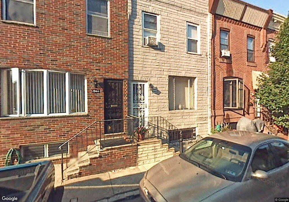
1946 Durfor St Philadelphia, PA 19145
South Philadelphia West NeighborhoodEstimated Value: $250,598 - $308,000
3
Beds
1
Bath
1,062
Sq Ft
$267/Sq Ft
Est. Value
About This Home
This home is located at 1946 Durfor St, Philadelphia, PA 19145 and is currently estimated at $283,650, approximately $267 per square foot. 1946 Durfor St is a home located in Philadelphia County with nearby schools including Stephen Girard School, Universal Vare Charter School, and St. Monica School.
Ownership History
Date
Name
Owned For
Owner Type
Purchase Details
Closed on
May 26, 2010
Sold by
Paulo Marie M
Bought by
Mccann Michael and Mccann Linda
Current Estimated Value
Home Financials for this Owner
Home Financials are based on the most recent Mortgage that was taken out on this home.
Original Mortgage
$148,006
Outstanding Balance
$100,547
Interest Rate
5.25%
Mortgage Type
FHA
Estimated Equity
$183,103
Create a Home Valuation Report for This Property
The Home Valuation Report is an in-depth analysis detailing your home's value as well as a comparison with similar homes in the area
Home Values in the Area
Average Home Value in this Area
Purchase History
| Date | Buyer | Sale Price | Title Company |
|---|---|---|---|
| Mccann Michael | $150,000 | None Available |
Source: Public Records
Mortgage History
| Date | Status | Borrower | Loan Amount |
|---|---|---|---|
| Open | Mccann Michael | $148,006 |
Source: Public Records
Tax History Compared to Growth
Tax History
| Year | Tax Paid | Tax Assessment Tax Assessment Total Assessment is a certain percentage of the fair market value that is determined by local assessors to be the total taxable value of land and additions on the property. | Land | Improvement |
|---|---|---|---|---|
| 2025 | $2,923 | $221,600 | $44,320 | $177,280 |
| 2024 | $2,923 | $221,600 | $44,320 | $177,280 |
| 2023 | $2,923 | $208,800 | $41,760 | $167,040 |
| 2022 | $1,908 | $163,800 | $41,760 | $122,040 |
| 2021 | $2,538 | $0 | $0 | $0 |
| 2020 | $2,538 | $0 | $0 | $0 |
| 2019 | $2,359 | $0 | $0 | $0 |
| 2018 | $2,132 | $0 | $0 | $0 |
| 2017 | $2,132 | $0 | $0 | $0 |
| 2016 | $1,712 | $0 | $0 | $0 |
| 2015 | $1,639 | $0 | $0 | $0 |
| 2014 | -- | $152,300 | $13,309 | $138,991 |
| 2012 | -- | $12,576 | $967 | $11,609 |
Source: Public Records
Map
Nearby Homes
- 1940 Wolf St
- 1946 Fitzgerald St
- 2328 S 20th St
- 2329 S Woodstock St
- 1906 Durfor St
- 2231 S Opal St
- 2306 S Woodstock St
- 2401 S Opal St
- 2344 S Woodstock St
- 2223 S 20th St
- 2346 S Woodstock St
- 2325 S Lambert St
- 1841 Wolf St
- 1847 Gladstone St
- 2445 S Garnet St
- 2446 S Woodstock St
- 2148 S Garnet St
- 2427 S 21st St
- 1807 Gladstone St
- 1821 W Porter St
- 1944 Durfor St
- 1948 Durfor St
- 1942 Durfor St
- 1950 Durfor St
- 1940 Durfor St
- 1952 Durfor St
- 1938 Durfor St
- 1945 Fitzgerald St
- 1943 Fitzgerald St
- 1936 Durfor St
- 1949 Fitzgerald St
- 1951 Fitzgerald St
- 1947 Durfor St
- 1945 Durfor St
- 1949 Durfor St
- 1941 Fitzgerald St
- 1943 Durfor St
- 1951 Durfor St
- 1953 Fitzgerald St
- 1941 Durfor St