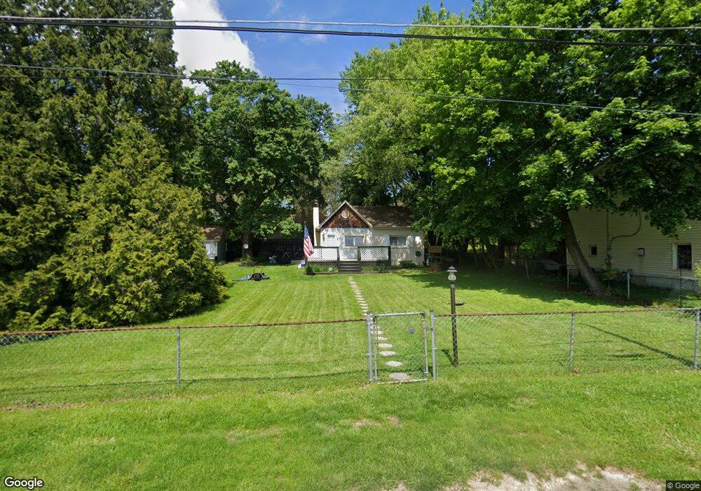
1946 Magee Ave Feasterville Trevose, PA 19053
Estimated Value: $292,963 - $401,000
2
Beds
1
Bath
676
Sq Ft
$501/Sq Ft
Est. Value
About This Home
This home is located at 1946 Magee Ave, Feasterville Trevose, PA 19053 and is currently estimated at $338,741, approximately $501 per square foot. 1946 Magee Ave is a home located in Bucks County with nearby schools including Tawanka Elementary School, Poquessing Middle School, and Neshaminy High School.
Ownership History
Date
Name
Owned For
Owner Type
Purchase Details
Closed on
Aug 16, 2004
Sold by
Monroe Patrick L and Monroe Deborah A
Bought by
Monroe Patrick L
Current Estimated Value
Purchase Details
Closed on
Jul 31, 1996
Sold by
Hayden Francis L and Hayden Tina B
Bought by
Monroe Patrick L and Monroe Deborah A
Home Financials for this Owner
Home Financials are based on the most recent Mortgage that was taken out on this home.
Original Mortgage
$97,900
Outstanding Balance
$7,870
Interest Rate
8.4%
Mortgage Type
FHA
Estimated Equity
$330,871
Create a Home Valuation Report for This Property
The Home Valuation Report is an in-depth analysis detailing your home's value as well as a comparison with similar homes in the area
Home Values in the Area
Average Home Value in this Area
Purchase History
| Date | Buyer | Sale Price | Title Company |
|---|---|---|---|
| Monroe Patrick L | -- | -- | |
| Monroe Patrick L | $98,000 | -- |
Source: Public Records
Mortgage History
| Date | Status | Borrower | Loan Amount |
|---|---|---|---|
| Open | Monroe Patrick L | $97,900 |
Source: Public Records
Tax History Compared to Growth
Tax History
| Year | Tax Paid | Tax Assessment Tax Assessment Total Assessment is a certain percentage of the fair market value that is determined by local assessors to be the total taxable value of land and additions on the property. | Land | Improvement |
|---|---|---|---|---|
| 2025 | $1,957 | $9,200 | $3,680 | $5,520 |
| 2024 | $1,957 | $9,200 | $3,680 | $5,520 |
| 2023 | $1,939 | $9,200 | $3,680 | $5,520 |
| 2022 | $1,887 | $9,200 | $3,680 | $5,520 |
| 2021 | $1,887 | $9,200 | $3,680 | $5,520 |
| 2020 | $1,864 | $9,200 | $3,680 | $5,520 |
| 2019 | $1,822 | $9,200 | $3,680 | $5,520 |
| 2018 | $1,788 | $9,200 | $3,680 | $5,520 |
| 2017 | $1,741 | $9,200 | $3,680 | $5,520 |
| 2016 | $1,741 | $9,200 | $3,680 | $5,520 |
| 2015 | $1,398 | $9,200 | $3,680 | $5,520 |
| 2014 | $1,398 | $9,200 | $3,680 | $5,520 |
Source: Public Records
Map
Nearby Homes
- 1904 Acorn St
- 517 Somers Ave
- 4357 Brownsville Rd
- 235 Andrews Rd
- 2053 Christina Ct
- 836 E Bristol Rd
- 2067 Herrick Ave
- 2304 Brownsville Rd Unit L22
- 2304 Brownsville Rd Unit P11
- 2304 Brownsville Rd
- 2304 Brownsville Rd Unit 1216
- 611 Rosewood Ave
- 510 Walnut Ave
- 533 Avenue F
- 1544 Brownsville Rd
- 1128 Hilton Ave
- 125 Fox Hollow Dr
- 3866 Spruce Ave
- 2304 LOT J-3 Brownsville Rd
- 402 Larchwood Ave
- 1958 Scott St
- 1938 Magee Ave
- 523 E Bristol Rd
- 1958 Magee Ave
- 519 E Bristol Rd
- 1933 Scott St
- 1943 Magee Ave
- 1932 Magee Ave
- 603 E Bristol Rd
- 1937 Magee Ave
- 1922 Magee Ave
- 504 E Bristol Rd
- 615 E Bristol Rd
- 1921 Scott St
- 1936 Brownsville Rd
- 1949 Acorn St
- 1961 Acorn St
- 1922 Scott St
- 1933 Acorn St
- 1912 Magee Ave