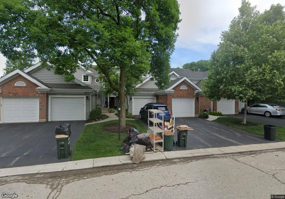
1946 N Coldspring Rd Unit 73 Arlington Heights, IL 60004
Estimated Value: $312,516 - $353,000
2
Beds
--
Bath
9,533
Sq Ft
$35/Sq Ft
Est. Value
About This Home
This home is located at 1946 N Coldspring Rd Unit 73, Arlington Heights, IL 60004 and is currently estimated at $335,629, approximately $35 per square foot. 1946 N Coldspring Rd Unit 73 is a home located in Cook County with nearby schools including Dwight D Eisenhower Elementary School, Anne Sullivan Elementary School, and Betsy Ross Elementary School.
Ownership History
Date
Name
Owned For
Owner Type
Purchase Details
Closed on
Apr 18, 2002
Sold by
Kane Candy
Bought by
Graham Gerald and Graham Lynn
Current Estimated Value
Home Financials for this Owner
Home Financials are based on the most recent Mortgage that was taken out on this home.
Original Mortgage
$185,400
Outstanding Balance
$78,610
Interest Rate
7.13%
Estimated Equity
$257,019
Create a Home Valuation Report for This Property
The Home Valuation Report is an in-depth analysis detailing your home's value as well as a comparison with similar homes in the area
Home Values in the Area
Average Home Value in this Area
Purchase History
| Date | Buyer | Sale Price | Title Company |
|---|---|---|---|
| Graham Gerald | $206,000 | Lawyers Title Insurance Corp |
Source: Public Records
Mortgage History
| Date | Status | Borrower | Loan Amount |
|---|---|---|---|
| Open | Graham Gerald | $185,400 |
Source: Public Records
Tax History Compared to Growth
Tax History
| Year | Tax Paid | Tax Assessment Tax Assessment Total Assessment is a certain percentage of the fair market value that is determined by local assessors to be the total taxable value of land and additions on the property. | Land | Improvement |
|---|---|---|---|---|
| 2024 | $4,923 | $23,981 | $5,109 | $18,872 |
| 2023 | $4,652 | $23,981 | $5,109 | $18,872 |
| 2022 | $4,652 | $23,981 | $5,109 | $18,872 |
| 2021 | $4,133 | $19,591 | $532 | $19,059 |
| 2020 | $4,144 | $19,591 | $532 | $19,059 |
| 2019 | $4,162 | $21,911 | $532 | $21,379 |
| 2018 | $3,113 | $16,874 | $424 | $16,450 |
| 2017 | $3,111 | $16,874 | $424 | $16,450 |
| 2016 | $3,380 | $16,874 | $424 | $16,450 |
| 2015 | $3,883 | $17,561 | $2,661 | $14,900 |
| 2014 | $4,409 | $17,561 | $2,661 | $14,900 |
| 2013 | $5,048 | $17,561 | $2,661 | $14,900 |
Source: Public Records
Map
Nearby Homes
- 1912 N Coldspring Rd Unit 96
- 1949 N Charter Point Dr Unit 1949
- 2026 N Stillwater Rd Unit 24
- 1956 N Silver Lake Rd
- 307 Anne Ct
- 105 W Ridge Ave
- 2611 E Radford Ct
- 11 W Palatine Rd
- 802 Andover Ct
- 13 W Kenilworth Ave
- 1044 Creekside Ct Unit 2B
- 1500 Harbour Dr Unit 2K
- 1500 Harbour Dr Unit 1D
- 2143 E Peachtree Ln
- 412 Cherry Creek Ln
- 21 E Stonegate Dr
- 1519 E Arbor Ln
- 9 Kenneth Ave
- 1424 E Jonquil Cir
- 1014 N Elmhurst Rd
- 1948 N Coldspring Rd Unit 74
- 1944 N Coldspring Rd Unit 72
- 1950 N Coldspring Rd Unit 75
- 1952 N Coldspring Rd Unit 76
- 1942 N Coldspring Rd Unit 71
- 1954 N Coldspring Rd Unit 78
- 1956 N Coldspring Rd Unit 77
- 1969 N Stillwater Rd Unit 141
- 1969 N Stillwater Rd
- 1967 N Stillwater Rd Unit 142
- 1916 N Coldspring Rd Unit 97
- 1965 N Stillwater Rd Unit 143
- 1953 N Stillwater Rd Unit 161
- 1951 N Stillwater Rd Unit 162
- 1951 N Stillwater Rd Unit 1951
- 1949 N Stillwater Rd Unit 163
- 1949 N Stillwater Rd Unit 16
- 1947 N Stillwater Rd Unit 164
- 1943 N Stillwater Rd Unit 166
- 1945 N Stillwater Rd Unit 165