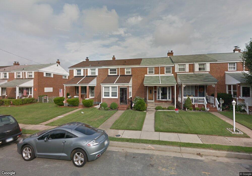
1946 Ormand Rd Dundalk, MD 21222
Estimated Value: $167,467 - $222,000
3
Beds
1
Bath
1,000
Sq Ft
$202/Sq Ft
Est. Value
About This Home
This home is located at 1946 Ormand Rd, Dundalk, MD 21222 and is currently estimated at $202,117, approximately $202 per square foot. 1946 Ormand Rd is a home located in Baltimore County with nearby schools including Grange Elementary School, General John Stricker Middle School, and Patapsco High & Center for Arts.
Ownership History
Date
Name
Owned For
Owner Type
Purchase Details
Closed on
Dec 6, 2005
Sold by
Malvaso Michelle L
Bought by
Tate Ii Robert S and Tate Michelle Malvaso
Current Estimated Value
Purchase Details
Closed on
Jun 30, 1999
Sold by
Malvaso Michelle L
Bought by
Malvaso Michelle L
Purchase Details
Closed on
Sep 13, 1993
Sold by
Tuthill M E
Bought by
Navarro James A
Create a Home Valuation Report for This Property
The Home Valuation Report is an in-depth analysis detailing your home's value as well as a comparison with similar homes in the area
Home Values in the Area
Average Home Value in this Area
Purchase History
| Date | Buyer | Sale Price | Title Company |
|---|---|---|---|
| Tate Ii Robert S | -- | -- | |
| Malvaso Michelle L | -- | -- | |
| Navarro James A | $72,500 | -- |
Source: Public Records
Mortgage History
| Date | Status | Borrower | Loan Amount |
|---|---|---|---|
| Closed | Navarro James A | -- |
Source: Public Records
Tax History
| Year | Tax Paid | Tax Assessment Tax Assessment Total Assessment is a certain percentage of the fair market value that is determined by local assessors to be the total taxable value of land and additions on the property. | Land | Improvement |
|---|---|---|---|---|
| 2025 | $2,648 | $147,133 | -- | -- |
| 2024 | $2,648 | $136,967 | $0 | $0 |
| 2023 | $2,698 | $126,800 | $36,000 | $90,800 |
| 2022 | $1,882 | $125,200 | $0 | $0 |
| 2021 | $2,048 | $123,600 | $0 | $0 |
| 2020 | $2,048 | $122,000 | $36,000 | $86,000 |
| 2019 | $1,824 | $119,067 | $0 | $0 |
| 2018 | $2,030 | $116,133 | $0 | $0 |
| 2017 | $1,882 | $113,200 | $0 | $0 |
| 2016 | -- | $113,200 | $0 | $0 |
| 2015 | $1,931 | $113,200 | $0 | $0 |
| 2014 | $1,931 | $130,700 | $0 | $0 |
Source: Public Records
Map
Nearby Homes
- 1935 Stanhope Rd
- 1954 Stanhope Rd
- 2012 Wareham Rd
- 1930 Stanhope Rd
- 2811 Moorgate Rd
- 2782 Moorgate Rd
- 1911 Sunberry Rd
- 7252 Meadow Ln
- 7807 Rockbourne Rd
- 1940H Robinwood Rd
- 7111 Sollers Point Rd
- 7832 Rockbourne Rd
- 9 Vista Mobile Dr
- 2924 Sollers Point Rd
- 2953 Yorkway
- 3145 Baybriar Rd
- 7849 Harold Rd
- 8201 Seaworthy Way
- 7512 School Ave
- 100 Shipway
- 1944 Ormand Rd
- 1948 Ormand Rd
- 1942 Ormand Rd
- 1950 Ormand Rd
- 1940 Ormand Rd
- 1938 Ormand Rd
- 1952 Ormand Rd
- 1954 Ormand Rd
- 1936 Ormand Rd
- 1956 Ormand Rd
- 1947 Wareham Rd
- 1945 Wareham Rd
- 1949 Wareham Rd
- 1943 Wareham Rd
- 1958 Ormand Rd
- 1951 Wareham Rd
- 1941 Wareham Rd
- 1934 Ormand Rd
- 1939 Wareham Rd
- 1960 Ormand Rd
Your Personal Tour Guide
Ask me questions while you tour the home.