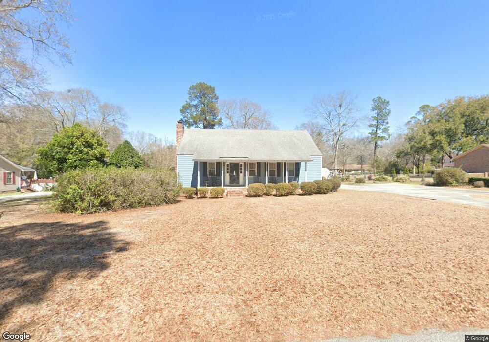
1946 Taylor Blvd Orangeburg, SC 29118
Estimated Value: $257,000 - $311,000
3
Beds
2
Baths
1,630
Sq Ft
$173/Sq Ft
Est. Value
About This Home
This home is located at 1946 Taylor Blvd, Orangeburg, SC 29118 and is currently estimated at $281,941, approximately $172 per square foot. 1946 Taylor Blvd is a home located in Orangeburg County with nearby schools including Marshall Elementary School, Marshall Elementary, and William J. Clark Middle School.
Ownership History
Date
Name
Owned For
Owner Type
Purchase Details
Closed on
Mar 8, 2021
Sold by
Bonnette Linda J
Bought by
Rheney Margaret G and Harley Hunter D
Current Estimated Value
Home Financials for this Owner
Home Financials are based on the most recent Mortgage that was taken out on this home.
Original Mortgage
$200,000
Outstanding Balance
$179,286
Interest Rate
2.7%
Mortgage Type
New Conventional
Estimated Equity
$102,655
Purchase Details
Closed on
Jun 2, 2011
Sold by
Estate Of George Emanuel Bonnette Jr and Bonnette Linda J
Bought by
Bonnette Linda J
Create a Home Valuation Report for This Property
The Home Valuation Report is an in-depth analysis detailing your home's value as well as a comparison with similar homes in the area
Home Values in the Area
Average Home Value in this Area
Purchase History
| Date | Buyer | Sale Price | Title Company |
|---|---|---|---|
| Rheney Margaret G | $200,000 | None Available | |
| Bonnette Linda J | -- | -- |
Source: Public Records
Mortgage History
| Date | Status | Borrower | Loan Amount |
|---|---|---|---|
| Open | Rheney Margaret G | $200,000 |
Source: Public Records
Tax History Compared to Growth
Tax History
| Year | Tax Paid | Tax Assessment Tax Assessment Total Assessment is a certain percentage of the fair market value that is determined by local assessors to be the total taxable value of land and additions on the property. | Land | Improvement |
|---|---|---|---|---|
| 2024 | $1,729 | $8,716 | $696 | $8,020 |
| 2023 | $1,478 | $7,996 | $692 | $7,304 |
| 2022 | $1,454 | $7,996 | $692 | $7,304 |
| 2021 | $489 | $7,081 | $1,039 | $6,042 |
| 2020 | $478 | $4,720 | $692 | $4,028 |
| 2019 | $481 | $4,720 | $692 | $4,028 |
| 2018 | $454 | $4,724 | $692 | $4,032 |
| 2017 | $446 | $4,724 | $0 | $0 |
| 2016 | $446 | $4,724 | $0 | $0 |
| 2015 | $408 | $4,724 | $0 | $0 |
| 2014 | $408 | $4,725 | $693 | $4,032 |
| 2013 | -- | $4,596 | $692 | $3,904 |
Source: Public Records
Map
Nearby Homes
- 4098 Slaughter Dr
- 113 Ginger Unit Subdivision
- 4057 Creekmoor Dr
- 104 Knollwood Ct
- 2042 Clifton Cir
- 408 Grasshopper Ct
- 4265 Columbia Rd
- 1501 Harris Dr
- 4405 Cricket Dr
- 1357 Macon Dr
- 3236 Hart St
- 4480 Deerfield Dr
- 3265 Hunter Dr
- 3210 Hunter Dr
- 1039 Berkeley Dr
- 783 Patriots Way
- 1438 Lartique Dr
- 0 Ramsgate Dr Unit 24022640
- 4414 Ramsgate Dr
- 2220 Hillside St NE
- 1946 Taylor Blvd
- 1964 Taylor Blvd
- 1928 Taylor Blvd
- 4073 Cedric St
- 4099 Cedric St
- 1996 Taylor Blvd
- 1921 Taylor Blvd
- 4026 Slaughter Dr
- 4070 Cedric St
- 1894 Taylor Blvd
- 1953 Taylor Blvd
- 4131 Cedric St
- 1897 Taylor Blvd
- 4048 Cedric St
- 1976 Benjamin Blvd
- 4096 Cedric St
- 4038 Slaughter Dr
- 1926 Benjamin Blvd
- 1868 Taylor Blvd
- 1873 Taylor Blvd