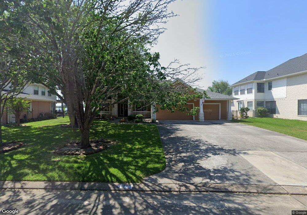
1946 Waters Edge Ln Seabrook, TX 77586
Estimated Value: $406,000 - $490,638
4
Beds
3
Baths
2,900
Sq Ft
$159/Sq Ft
Est. Value
About This Home
This home is located at 1946 Waters Edge Ln, Seabrook, TX 77586 and is currently estimated at $460,910, approximately $158 per square foot. 1946 Waters Edge Ln is a home located in Harris County with nearby schools including Bay Elementary School, Seabrook Intermediate School, and Clear Falls High School.
Ownership History
Date
Name
Owned For
Owner Type
Purchase Details
Closed on
May 27, 2015
Sold by
Wootton Gail E
Bought by
Muzerie Axel
Current Estimated Value
Purchase Details
Closed on
May 18, 2006
Sold by
Wittgan Larry F and Wittgan Arlette
Bought by
Wootton John T and Wootton Gail E
Purchase Details
Closed on
Apr 30, 2002
Sold by
D R Horton Texas Ltd
Bought by
Wittgan Larry F and Wittgan Arlette
Home Financials for this Owner
Home Financials are based on the most recent Mortgage that was taken out on this home.
Original Mortgage
$220,500
Interest Rate
7.19%
Create a Home Valuation Report for This Property
The Home Valuation Report is an in-depth analysis detailing your home's value as well as a comparison with similar homes in the area
Home Values in the Area
Average Home Value in this Area
Purchase History
| Date | Buyer | Sale Price | Title Company |
|---|---|---|---|
| Muzerie Axel | -- | Great American Title Co | |
| Wootton John T | -- | Texas Elite Title Co Llc | |
| Wittgan Larry F | -- | Stewart Title |
Source: Public Records
Mortgage History
| Date | Status | Borrower | Loan Amount |
|---|---|---|---|
| Previous Owner | Wittgan Larry F | $220,500 | |
| Closed | Wittgan Larry F | $41,350 |
Source: Public Records
Tax History Compared to Growth
Tax History
| Year | Tax Paid | Tax Assessment Tax Assessment Total Assessment is a certain percentage of the fair market value that is determined by local assessors to be the total taxable value of land and additions on the property. | Land | Improvement |
|---|---|---|---|---|
| 2025 | $5,269 | $525,665 | $167,438 | $358,227 |
| 2024 | $5,269 | $510,681 | $167,438 | $343,243 |
| 2023 | $5,269 | $628,946 | $251,157 | $377,789 |
| 2022 | $11,153 | $552,852 | $251,157 | $301,695 |
| 2021 | $10,921 | $476,779 | $220,714 | $256,065 |
| 2020 | $11,316 | $456,550 | $205,492 | $251,058 |
| 2019 | $11,369 | $439,454 | $187,226 | $252,228 |
| 2018 | $3,999 | $421,021 | $187,226 | $233,795 |
| 2017 | $10,948 | $421,021 | $173,516 | $247,505 |
| 2016 | $10,406 | $400,168 | $147,673 | $252,495 |
| 2015 | $7,944 | $400,168 | $147,673 | $252,495 |
| 2014 | $7,944 | $360,376 | $147,673 | $212,703 |
Source: Public Records
Map
Nearby Homes
- 1614 Carefree Cir
- 1613 Carefree Cir
- 1265 Friendship Trail
- 1606 Friendship Park Cir
- 1502 N Meyer Rd
- 0 Oak Alley Ct Unit 61117265
- 1540 Lake Mija Cir
- 1018 E Meyer Rd
- 1001 Victorian Ct
- 2300 Nassau Dr
- 4514 Albatross Dr
- 1924 Waterford Way
- 909 Autumn Brook St
- 3309 Todville Rd
- 1818 - 1820 Todville Rd
- 1816 - TBDT Todville Rd
- 1940 Waterford Way
- 1100 N Heron Dr
- 4525 Allegro Dr
- 1914 Lori Ct
- 1942 Waters Edge Ln
- 1950 Waters Edge Ln
- 1938 Waters Edge Ln
- 1933 Waters Edge Ln
- 1929 Waters Edge Ln
- 1934 Waters Edge Ln
- 1941 Waters Edge Ln
- 1301 Lake Mija Ct
- 1305 Lake Mija Ct
- 1641 Old Orchard Ln
- 1718 Gaslight Ct
- 1945 Waters Edge Ln
- 1637 Old Orchard Ln
- 1313 Lake Mija Ct
- 1930 Waters Edge Ln
- 1317 Lake Mija Ct
- 1633 Old Orchard Ln
- 1717 Gaslight Ct
- 1949 Waters Edge Ln
- 1714 Gaslight Ct