1946 Wheat Valley Cir Conyers, GA 30013
Estimated Value: $355,000 - $500,000
4
Beds
3
Baths
2,786
Sq Ft
$149/Sq Ft
Est. Value
About This Home
This home is located at 1946 Wheat Valley Cir, Conyers, GA 30013 and is currently estimated at $416,000, approximately $149 per square foot. 1946 Wheat Valley Cir is a home located in Rockdale County with nearby schools including Hightower Trail Elementary School, Memorial Middle School, and Salem High School.
Ownership History
Date
Name
Owned For
Owner Type
Purchase Details
Closed on
Apr 15, 2019
Sold by
Robertson Walter Lee Estate
Bought by
Gary Fred L and Gary Janice B
Current Estimated Value
Home Financials for this Owner
Home Financials are based on the most recent Mortgage that was taken out on this home.
Original Mortgage
$197,200
Outstanding Balance
$173,374
Interest Rate
4.3%
Mortgage Type
New Conventional
Estimated Equity
$242,626
Create a Home Valuation Report for This Property
The Home Valuation Report is an in-depth analysis detailing your home's value as well as a comparison with similar homes in the area
Home Values in the Area
Average Home Value in this Area
Purchase History
| Date | Buyer | Sale Price | Title Company |
|---|---|---|---|
| Gary Fred L | -- | -- |
Source: Public Records
Mortgage History
| Date | Status | Borrower | Loan Amount |
|---|---|---|---|
| Open | Gary Fred L | $197,200 |
Source: Public Records
Tax History Compared to Growth
Tax History
| Year | Tax Paid | Tax Assessment Tax Assessment Total Assessment is a certain percentage of the fair market value that is determined by local assessors to be the total taxable value of land and additions on the property. | Land | Improvement |
|---|---|---|---|---|
| 2024 | $3,015 | $153,640 | $34,760 | $118,880 |
| 2023 | $2,228 | $129,240 | $29,760 | $99,480 |
| 2022 | $2,486 | $122,600 | $29,760 | $92,840 |
| 2021 | $2,142 | $107,560 | $26,200 | $81,360 |
| 2020 | $1,841 | $91,760 | $19,200 | $72,560 |
| 2019 | $3,181 | $70,200 | $15,200 | $55,000 |
| 2018 | $971 | $61,480 | $14,000 | $47,480 |
| 2017 | $829 | $56,600 | $14,000 | $42,600 |
| 2016 | $1,034 | $67,160 | $12,000 | $55,160 |
| 2015 | $1,010 | $66,320 | $12,000 | $54,320 |
| 2014 | $695 | $60,440 | $12,000 | $48,440 |
| 2013 | -- | $88,200 | $18,000 | $70,200 |
Source: Public Records
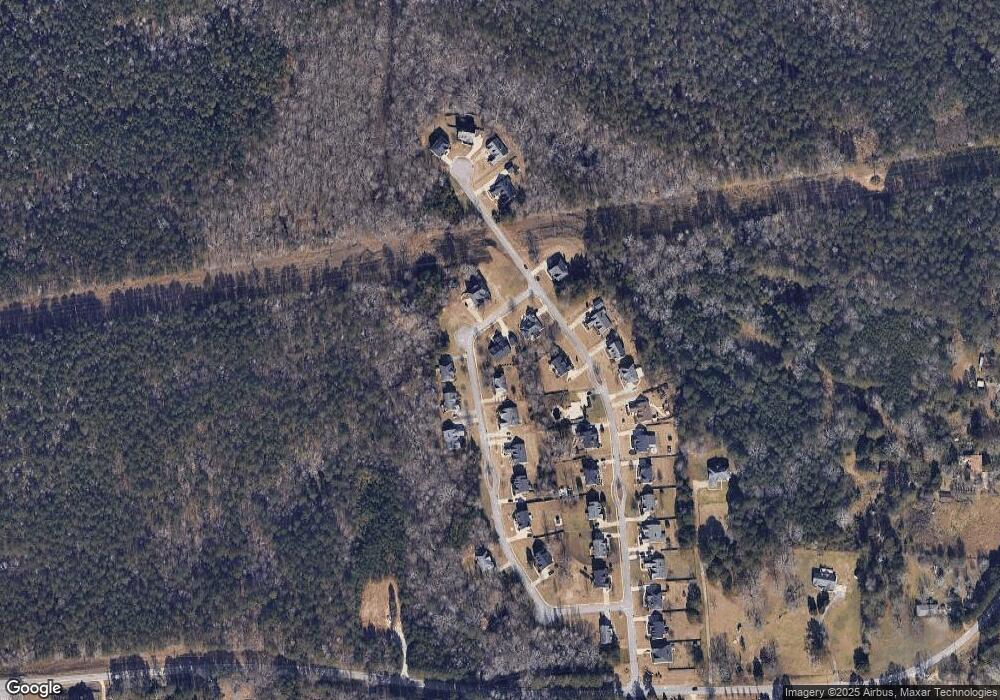
Map
Nearby Homes
- Redland Plan at Riverside
- Linton Plan at Riverside
- Ivey Plan at Riverside
- Holly Plan at Riverside
- Hanover Plan at Riverside
- Glen Plan at Riverside
- Evergreen Plan at Riverside
- Crofton Plan at Riverside
- 2479 Honey Way
- 2453 Honey Way
- 360 Glen Rd NE
- 2567 Gees Mill Rd NE
- 2516 Riverside Rd
- 2522 Riverside Rd
- 2548 Riverside Rd
- 2514 Riverside Rd
- 2710 Glendale Dr NE
- 1509 Aralynn Way Unit 1
- 2676 NE Almand Ln
- 2222 Ashton Dr
- 1938 Wheat Valley Cir
- 1847 Millstone Manor
- 1941 Wheat Valley Cir
- 1843 Millstone Manor
- 0 Wheat Valley Cir Unit 7036322
- 0 Wheat Valley Cir Unit 8542890
- 0 Wheat Valley Cir Unit 8349775
- 1934 Wheat Valley Cir
- 1953 Wheat Valley Cir
- 1937 Wheat Valley Cir
- 1957 Wheat Valley Cir
- 1945 Wheat Valley Cir Unit 25
- 1945 Wheat Valley Cir
- 1949 Wheat Valley Cir Unit 24
- 1949 Wheat Valley Cir
- 1848 Millstone Manor
- 1930 Wheat Valley Cir
- 1844 Millstone Manor
- 1852 Millstone Manor
- 1933 Wheat Valley Cir