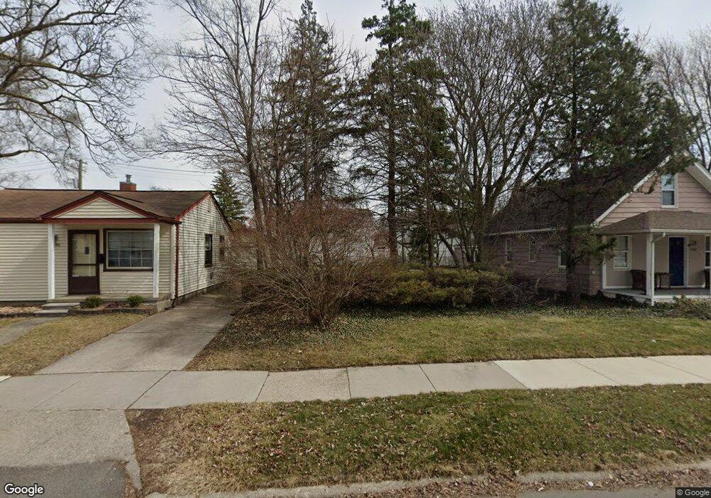
1946 Wrenson St Ferndale, MI 48220
Estimated Value: $52,000 - $410,000
--
Bed
--
Bath
--
Sq Ft
--
Built
About This Home
This home is located at 1946 Wrenson St, Ferndale, MI 48220 and is currently estimated at $215,000. 1946 Wrenson St is a home located in Oakland County with nearby schools including Hazel Park Junior High School and Hazel Park High School.
Ownership History
Date
Name
Owned For
Owner Type
Purchase Details
Closed on
Jan 27, 2021
Sold by
Haddad Tony and Haddad Dana
Bought by
Haddad Tony M and Haddad Dana M
Current Estimated Value
Purchase Details
Closed on
Oct 9, 2013
Sold by
Michigan Property Llc
Bought by
Haddad Tony and Haddad Dana
Purchase Details
Closed on
Dec 29, 2011
Sold by
Michigan Property Superstone Inc
Bought by
Michigan Property Llc
Create a Home Valuation Report for This Property
The Home Valuation Report is an in-depth analysis detailing your home's value as well as a comparison with similar homes in the area
Home Values in the Area
Average Home Value in this Area
Purchase History
| Date | Buyer | Sale Price | Title Company |
|---|---|---|---|
| Haddad Tony M | -- | None Available | |
| Haddad Tony | -- | None Listed On Document | |
| Haddad Tony | $51,600 | Fidelity Natl Title Co Llc | |
| Michigan Property Llc | -- | Capital Title Ins Agency | |
| Michigah Property Superstone Inc | $22,000 | Capital Title Ins Agency |
Source: Public Records
Tax History Compared to Growth
Tax History
| Year | Tax Paid | Tax Assessment Tax Assessment Total Assessment is a certain percentage of the fair market value that is determined by local assessors to be the total taxable value of land and additions on the property. | Land | Improvement |
|---|---|---|---|---|
| 2024 | $278 | $15,550 | $0 | $0 |
| 2023 | $289 | $14,810 | $0 | $0 |
| 2022 | $286 | $13,420 | $0 | $0 |
| 2021 | $284 | $9,590 | $0 | $0 |
| 2020 | $274 | $5,800 | $0 | $0 |
| 2019 | $275 | $4,640 | $0 | $0 |
| 2018 | $271 | $4,640 | $0 | $0 |
| 2017 | $266 | $4,220 | $0 | $0 |
| 2016 | $265 | $3,510 | $0 | $0 |
| 2015 | -- | $3,210 | $0 | $0 |
| 2014 | -- | $6,430 | $0 | $0 |
| 2011 | -- | $13,660 | $0 | $0 |
Source: Public Records
Map
Nearby Homes
- 1842 Wrenson St
- 1971 Leitch Rd
- 1986 Romeo St
- 2120 Wrenson St
- 2103 Leitch Rd
- 2043 Pilgrim St
- 2128 Romeo St
- 1909 E Troy St
- 23067 Stauber Ave
- 1942 E Troy St
- 23304 Stauber Ave
- 1803 Ardmore Dr
- 516 Orchard Ave
- 2105 Manatee St
- 1741 Academy St
- 23060 Berdeno Ave
- 1873 Academy St
- 1206 Rosewood St
- 1054 E Troy St
- 1900 College St
- 1938 Wrenson St
- 1956 Wrenson St
- 1930 Wrenson St
- 1962 Wrenson St
- 1935 Martin Rd
- 1945 Martin Rd
- 1955 Martin Rd
- 1931 Martin Rd
- 1920 Wrenson St
- 1970 Wrenson St
- 1921 Martin Rd
- 1971 Martin Rd
- 1914 Wrenson St
- 1978 Wrenson St
- 1915 Martin Rd
- 1947 Wrenson St
- 1979 Martin Rd
- 1955 Wrenson St
- 1931 Wrenson St
- 1904 Wrenson St