19463 Brookside Way Bend, OR 97702
Century West NeighborhoodEstimated Value: $814,000 - $953,000
3
Beds
3
Baths
2,054
Sq Ft
$433/Sq Ft
Est. Value
About This Home
This home is located at 19463 Brookside Way, Bend, OR 97702 and is currently estimated at $889,973, approximately $433 per square foot. 19463 Brookside Way is a home located in Deschutes County with nearby schools including William E. Miller Elementary School, Cascade Middle School, and Summit High School.
Ownership History
Date
Name
Owned For
Owner Type
Purchase Details
Closed on
Oct 29, 2024
Sold by
Fletcher Anthony and Fletcher Gay
Bought by
Fletcher Family Living Trust and Fletcher
Current Estimated Value
Purchase Details
Closed on
Nov 29, 2004
Sold by
Boardman Jon K
Bought by
Fletcher Anthony and Fletcher Gay
Home Financials for this Owner
Home Financials are based on the most recent Mortgage that was taken out on this home.
Original Mortgage
$228,000
Interest Rate
4.5%
Mortgage Type
Unknown
Create a Home Valuation Report for This Property
The Home Valuation Report is an in-depth analysis detailing your home's value as well as a comparison with similar homes in the area
Home Values in the Area
Average Home Value in this Area
Purchase History
| Date | Buyer | Sale Price | Title Company |
|---|---|---|---|
| Fletcher Family Living Trust | -- | None Listed On Document | |
| Fletcher Anthony | $285,000 | First Amer Title Ins Co Or |
Source: Public Records
Mortgage History
| Date | Status | Borrower | Loan Amount |
|---|---|---|---|
| Previous Owner | Fletcher Anthony | $228,000 | |
| Closed | Fletcher Anthony | $28,500 |
Source: Public Records
Tax History
| Year | Tax Paid | Tax Assessment Tax Assessment Total Assessment is a certain percentage of the fair market value that is determined by local assessors to be the total taxable value of land and additions on the property. | Land | Improvement |
|---|---|---|---|---|
| 2025 | $5,698 | $337,260 | -- | -- |
| 2024 | $5,482 | $327,440 | -- | -- |
| 2023 | $5,082 | $317,910 | $0 | $0 |
| 2022 | $4,742 | $299,670 | $0 | $0 |
| 2021 | $4,749 | $290,950 | $0 | $0 |
| 2020 | $4,505 | $290,950 | $0 | $0 |
| 2019 | $4,380 | $282,480 | $0 | $0 |
| 2018 | $4,256 | $274,260 | $0 | $0 |
| 2017 | $4,198 | $266,280 | $0 | $0 |
| 2016 | $4,006 | $258,530 | $0 | $0 |
| 2015 | $3,897 | $251,000 | $0 | $0 |
| 2014 | $3,784 | $243,690 | $0 | $0 |
Source: Public Records
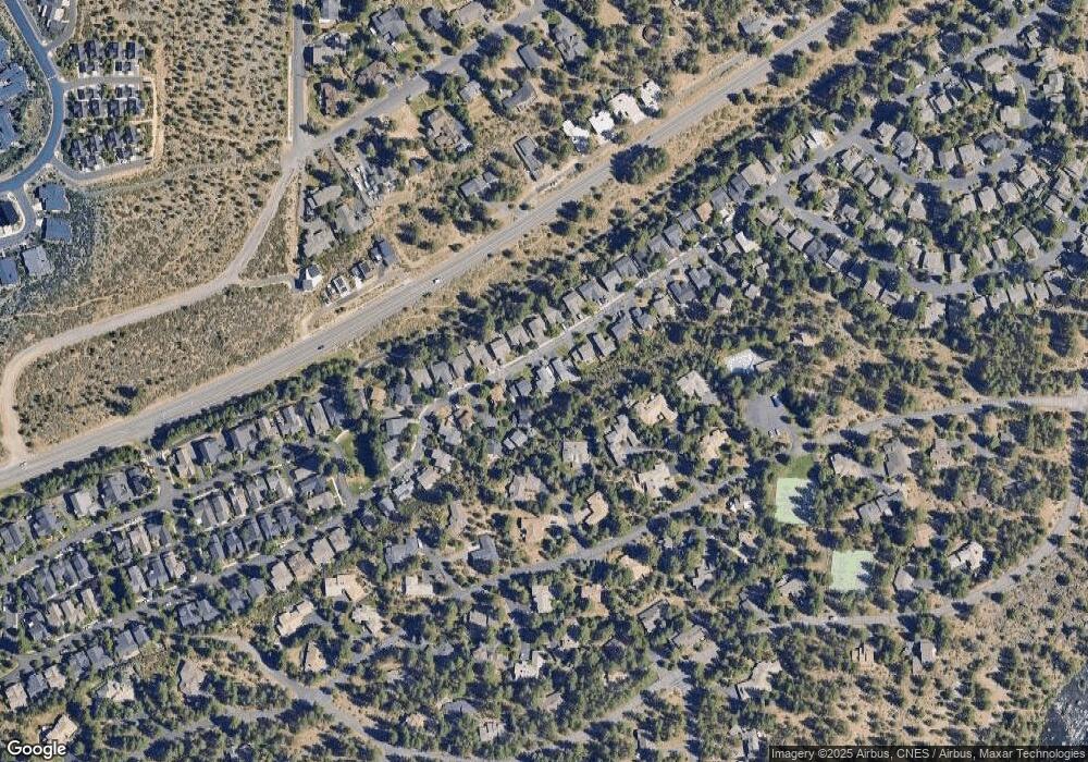
Map
Nearby Homes
- 19476 SW Century Dr Unit 1 & 2
- 19476 SW Century Dr
- 19504 SW Century Dr
- 19520 SW Century Dr
- 19550 Brookside Way
- 61389 Campbell Ct
- 61318 Tetherow Vista Dr
- 0 Outrider Loop Unit 32 220195539
- 61266 Meeks Trail
- 61354 Lost Hollow Loop
- 19318 SW Marshmallow Place
- 19666 Sunshine Way
- 19580 SW Century Dr
- 61254 Meeks Trail
- 19312 Eaton Ln
- 61358 Kindle Rock Loop
- 61309 Howe Way
- 61152 SW Beverly Way
- 61354 Triple Knot Rd
- 61464 Meeks Trail
- 19467 Brookside Way
- 19459 Brookside Way
- 61188 SW Sleepy Ct
- 19473 Brookside Way
- 61194 SW Sleepy Ct
- 61182 SW Sleepy Ct
- 19464 Brookside Way
- 19468 Brookside Way
- 19460 Brookside Way
- 19477 Brookside Way
- 19470 Brookside Way
- 19456 Brookside Way
- 19504 Sunshine Way
- 19454 Brookside Way
- 19524 Sunshine Way
- 19474 Brookside Way
- 61189 SW Sleepy Ct
- 19481 Brookside Way
- 19500 Sunshine Way
Your Personal Tour Guide
Ask me questions while you tour the home.