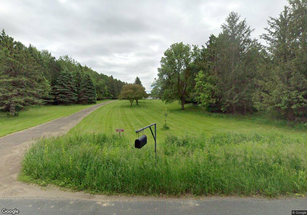
1947 180th Ave New Richmond, WI 54017
Erin Prairie NeighborhoodEstimated Value: $464,266 - $546,000
--
Bed
--
Bath
--
Sq Ft
6.4
Acres
About This Home
This home is located at 1947 180th Ave, New Richmond, WI 54017 and is currently estimated at $506,567. 1947 180th Ave is a home located in St. Croix County with nearby schools including New Richmond High School.
Ownership History
Date
Name
Owned For
Owner Type
Purchase Details
Closed on
Jun 18, 2015
Sold by
Hesselink Andrew J and Hesselink Nicholas J
Bought by
Hesselink Andrew J
Current Estimated Value
Home Financials for this Owner
Home Financials are based on the most recent Mortgage that was taken out on this home.
Original Mortgage
$100,000
Outstanding Balance
$38,035
Interest Rate
3.82%
Mortgage Type
New Conventional
Estimated Equity
$468,532
Create a Home Valuation Report for This Property
The Home Valuation Report is an in-depth analysis detailing your home's value as well as a comparison with similar homes in the area
Home Values in the Area
Average Home Value in this Area
Purchase History
| Date | Buyer | Sale Price | Title Company |
|---|---|---|---|
| Hesselink Andrew J | $115,600 | St Croix County Abstract & T |
Source: Public Records
Mortgage History
| Date | Status | Borrower | Loan Amount |
|---|---|---|---|
| Open | Hesselink Andrew J | $100,000 |
Source: Public Records
Tax History Compared to Growth
Tax History
| Year | Tax Paid | Tax Assessment Tax Assessment Total Assessment is a certain percentage of the fair market value that is determined by local assessors to be the total taxable value of land and additions on the property. | Land | Improvement |
|---|---|---|---|---|
| 2024 | $50 | $345,300 | $43,600 | $301,700 |
| 2023 | $4,316 | $345,300 | $43,600 | $301,700 |
| 2022 | $4,194 | $345,300 | $43,600 | $301,700 |
| 2021 | $4,083 | $345,300 | $43,600 | $301,700 |
| 2020 | $4,231 | $247,900 | $43,600 | $204,300 |
| 2019 | $3,897 | $247,900 | $43,600 | $204,300 |
| 2018 | $4,026 | $247,900 | $43,600 | $204,300 |
| 2017 | $4,052 | $247,900 | $43,600 | $204,300 |
| 2016 | $4,052 | $247,900 | $43,600 | $204,300 |
| 2015 | $3,915 | $247,900 | $43,600 | $204,300 |
| 2014 | $3,916 | $247,900 | $43,600 | $204,300 |
| 2013 | $3,833 | $247,900 | $43,600 | $204,300 |
Source: Public Records
Map
Nearby Homes
- 1909 Highway 64
- 1909 Hwy 64
- 1735 Highway 63
- 1735 Hwy 63
- 127x County Road G
- 0 Xxx County Road K
- TBD 200th St
- 0 Prairie Rd
- XXX Prairie Rd
- 2150 220th St
- 1637 County Road G
- 2330 County Road G
- 492 Coyote Way
- 484 Coyote Way
- 1902 Mink Way
- 491 Coyote Way
- 485 Coyote Way
- 437 Coyote Way
- xxx County Road K
- 1642 Beaver Way