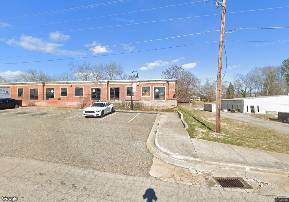
1947 Broad St Statham, GA 30666
Estimated Value: $218,909 - $292,000
2
Beds
1
Bath
1,080
Sq Ft
$243/Sq Ft
Est. Value
About This Home
This home is located at 1947 Broad St, Statham, GA 30666 and is currently estimated at $261,977, approximately $242 per square foot. 1947 Broad St is a home located in Barrow County with nearby schools including Statham Elementary School, Bear Creek Middle School, and Winder-Barrow High School.
Ownership History
Date
Name
Owned For
Owner Type
Purchase Details
Closed on
Apr 20, 2021
Sold by
Parsons Betty
Bought by
Chambers Karen D
Current Estimated Value
Purchase Details
Closed on
Jan 23, 2012
Sold by
Parsons Charles B
Bought by
Parsons Charles B and Parsons Betty
Purchase Details
Closed on
Mar 6, 2009
Sold by
Clonts Daphne C
Bought by
Parsons Charles B and Parsons Betty
Home Financials for this Owner
Home Financials are based on the most recent Mortgage that was taken out on this home.
Original Mortgage
$93,279
Interest Rate
5.29%
Mortgage Type
FHA
Create a Home Valuation Report for This Property
The Home Valuation Report is an in-depth analysis detailing your home's value as well as a comparison with similar homes in the area
Home Values in the Area
Average Home Value in this Area
Purchase History
| Date | Buyer | Sale Price | Title Company |
|---|---|---|---|
| Chambers Karen D | -- | -- | |
| Parsons Charles B | -- | -- | |
| Parsons Charles B | $95,000 | -- |
Source: Public Records
Mortgage History
| Date | Status | Borrower | Loan Amount |
|---|---|---|---|
| Previous Owner | Parsons Charles B | $93,279 |
Source: Public Records
Tax History
| Year | Tax Paid | Tax Assessment Tax Assessment Total Assessment is a certain percentage of the fair market value that is determined by local assessors to be the total taxable value of land and additions on the property. | Land | Improvement |
|---|---|---|---|---|
| 2025 | $1,111 | $49,907 | $20,000 | $29,907 |
| 2024 | $898 | $45,062 | $16,000 | $29,062 |
| 2023 | $242 | $45,062 | $16,000 | $29,062 |
| 2022 | $481 | $34,106 | $16,000 | $18,106 |
| 2021 | $91 | $20,819 | $8,000 | $12,819 |
| 2020 | $79 | $20,819 | $8,000 | $12,819 |
| 2019 | $83 | $20,819 | $8,000 | $12,819 |
| 2018 | $72 | $20,819 | $8,000 | $12,819 |
| 2017 | $646 | $18,522 | $8,000 | $10,522 |
| 2016 | $42 | $18,522 | $8,000 | $10,522 |
| 2015 | $42 | $18,522 | $8,000 | $10,522 |
| 2014 | -- | $14,442 | $3,920 | $10,522 |
| 2013 | -- | $13,926 | $3,920 | $10,006 |
Source: Public Records
Map
Nearby Homes
- 1907 Broad St
- 16 Georgia Highway 211
- 541 Moore Dr
- 139 Goldshore Way
- 619 Graham Campbell Ln
- 418 Ellerbe Dr
- 235 1st St
- 341 Graham Campbell Ln
- 32 Graham Campbell Ln
- 107 Charlotte Place
- 585 Pendergrass Dr
- 210 Charlotte Cir
- 391 Price St
- 2009 Euclid St
- 190 Charlotte Dr
- 1816 Oak Spring St
- 190 Charlotte Cir
- 174 Charlotte Cir
- 1812 Oak Spring St
- 26 Lyles Corner