1947 Channel St North Bend, OR 97459
Estimated Value: $427,197 - $434,000
3
Beds
2
Baths
1,391
Sq Ft
$310/Sq Ft
Est. Value
About This Home
This home is located at 1947 Channel St, North Bend, OR 97459 and is currently estimated at $430,599, approximately $309 per square foot. 1947 Channel St is a home located in Coos County with nearby schools including Hillcrest Elementary School, North Bay Elementary School, and North Bend Middle School.
Ownership History
Date
Name
Owned For
Owner Type
Purchase Details
Closed on
Feb 27, 2007
Sold by
Peregrine Exchange Llc
Bought by
Peregrine Group Inc
Current Estimated Value
Purchase Details
Closed on
Nov 14, 2006
Sold by
Cascade Exchange Services Inc
Bought by
Peregrine Exchange Llc
Home Financials for this Owner
Home Financials are based on the most recent Mortgage that was taken out on this home.
Original Mortgage
$299,500
Interest Rate
6.28%
Mortgage Type
Unknown
Create a Home Valuation Report for This Property
The Home Valuation Report is an in-depth analysis detailing your home's value as well as a comparison with similar homes in the area
Home Values in the Area
Average Home Value in this Area
Purchase History
| Date | Buyer | Sale Price | Title Company |
|---|---|---|---|
| Peregrine Group Inc | -- | Ticor Title Insurance | |
| Peregrine Exchange Llc | -- | Ticor Title Insurance |
Source: Public Records
Mortgage History
| Date | Status | Borrower | Loan Amount |
|---|---|---|---|
| Previous Owner | Peregrine Exchange Llc | $299,500 |
Source: Public Records
Tax History Compared to Growth
Tax History
| Year | Tax Paid | Tax Assessment Tax Assessment Total Assessment is a certain percentage of the fair market value that is determined by local assessors to be the total taxable value of land and additions on the property. | Land | Improvement |
|---|---|---|---|---|
| 2024 | $3,241 | $210,610 | -- | -- |
| 2023 | $3,146 | $204,480 | $0 | $0 |
| 2022 | $3,112 | $198,530 | $0 | $0 |
| 2021 | $3,188 | $192,750 | $0 | $0 |
| 2020 | $2,986 | $192,750 | $0 | $0 |
| 2019 | $2,856 | $181,690 | $0 | $0 |
| 2018 | $2,776 | $176,400 | $0 | $0 |
| 2017 | $2,698 | $171,270 | $0 | $0 |
| 2016 | $2,617 | $166,290 | $0 | $0 |
| 2015 | $2,436 | $161,450 | $0 | $0 |
| 2014 | $2,436 | $156,750 | $0 | $0 |
Source: Public Records
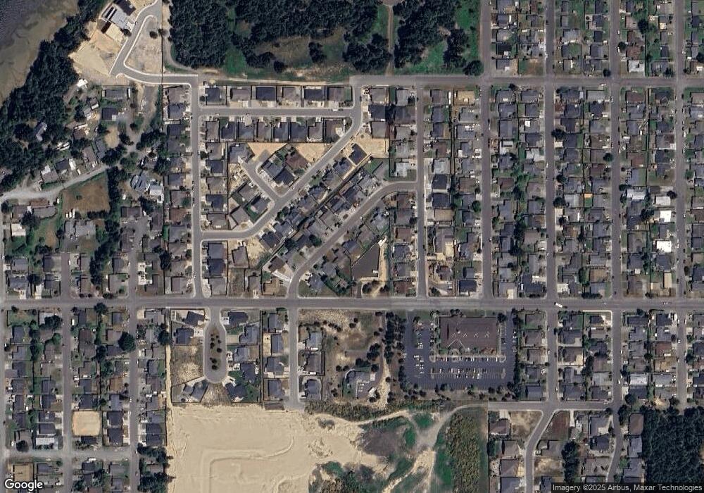
Map
Nearby Homes
- 1915 Arthur St
- 2065 Hayes St
- 1900 Grant St
- 2180 Hayes St
- 1940 Pacific View Ln
- 1275 Fenwick St
- 1123 Crocker St
- 2270 Hayes St
- 1655 Garfield St
- 1400 Holloway Mews
- 1344 Seagate Ave
- 1065 Crocker St
- 1710 Johnson St
- 2215 Garfield St
- 1711 Johnson St
- 2317 Laura Ln
- 1065 Fenwick St
- 1125 Augustine Ave
- 1557 Hayes St
- 0 Seagate Ave Unit 24532470
- 1967 Channel St
- 1937 Channel St
- 1951 Jefferson Ave
- 1992 Channel St
- 1987 Channel St
- 1990 Cleveland St
- 1956 Channel St
- 1927 Channel St
- 1966 Channel St
- 1946 Channel St Unit 1
- 1946 Channel St
- 1976 Channel St
- 1970 Cleveland St
- 1997 Channel St
- 1960 Cleveland St
- 1980 Cleveland St
- 1950 Cleveland St
- 1935 Cleveland St
- 1869 Steelhead St
- 1986 Channel St