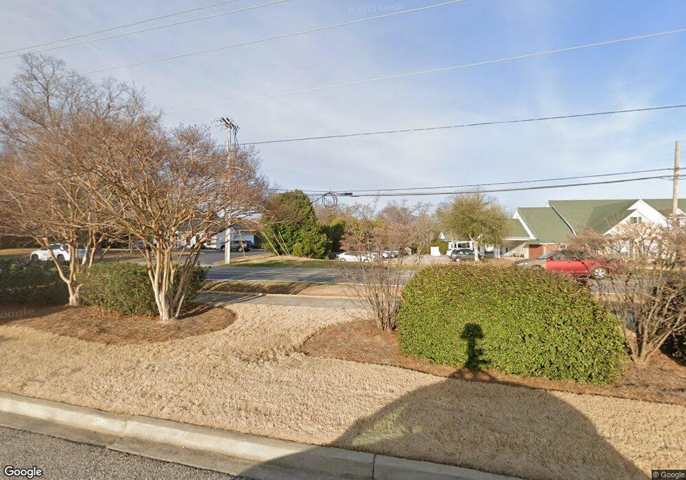
1947 Ebenezer Rd Rock Hill, SC 29732
Estimated Value: $189,000 - $251,000
--
Bed
1
Bath
1,277
Sq Ft
$177/Sq Ft
Est. Value
About This Home
This home is located at 1947 Ebenezer Rd, Rock Hill, SC 29732 and is currently estimated at $225,452, approximately $176 per square foot. 1947 Ebenezer Rd is a home located in York County with nearby schools including Ebinport Elementary School, W.C. Sullivan Middle School, and South Pointe High School.
Ownership History
Date
Name
Owned For
Owner Type
Purchase Details
Closed on
Nov 22, 2010
Sold by
Craven Billie D
Bought by
Ramsey Carolyn S
Current Estimated Value
Home Financials for this Owner
Home Financials are based on the most recent Mortgage that was taken out on this home.
Original Mortgage
$72,124
Outstanding Balance
$47,538
Interest Rate
4.25%
Mortgage Type
FHA
Estimated Equity
$177,914
Purchase Details
Closed on
Jan 9, 2002
Sold by
Eller Mark A
Bought by
Craven Billie D
Purchase Details
Closed on
Mar 31, 1999
Sold by
Mcneely Bettina M
Bought by
Eller Mark A
Create a Home Valuation Report for This Property
The Home Valuation Report is an in-depth analysis detailing your home's value as well as a comparison with similar homes in the area
Home Values in the Area
Average Home Value in this Area
Purchase History
| Date | Buyer | Sale Price | Title Company |
|---|---|---|---|
| Ramsey Carolyn S | $74,000 | -- | |
| Craven Billie D | $77,900 | -- | |
| Eller Mark A | $74,900 | -- |
Source: Public Records
Mortgage History
| Date | Status | Borrower | Loan Amount |
|---|---|---|---|
| Open | Ramsey Carolyn S | $72,124 |
Source: Public Records
Tax History Compared to Growth
Tax History
| Year | Tax Paid | Tax Assessment Tax Assessment Total Assessment is a certain percentage of the fair market value that is determined by local assessors to be the total taxable value of land and additions on the property. | Land | Improvement |
|---|---|---|---|---|
| 2024 | $283 | $3,289 | $0 | $3,289 |
| 2023 | $284 | $3,289 | $0 | $3,289 |
| 2022 | $286 | $3,289 | $0 | $3,289 |
| 2021 | -- | $3,289 | $0 | $3,289 |
| 2020 | $286 | $3,289 | $0 | $0 |
| 2019 | $197 | $2,860 | $0 | $0 |
| 2018 | $197 | $2,860 | $0 | $0 |
| 2017 | $189 | $2,860 | $0 | $0 |
| 2016 | $188 | $2,860 | $0 | $0 |
| 2014 | $216 | $2,860 | $0 | $2,860 |
| 2013 | $216 | $3,040 | $0 | $3,040 |
Source: Public Records
Map
Nearby Homes
- 1910 Ebenezer Rd
- 130 Bailey Ave
- 555 Stockton Way
- 1830 Ebenezer Rd Unit 1
- 150 Brookwood Ln
- 412 Osborn St
- 1806 Ebenezer Rd Unit E
- 2014 Steeplechase Dr
- 1792 Ebenezer Rd Unit G
- 1784 Ebenezer Rd
- 297 Notable Ln
- 254 Tradition Way
- 311 Notable Ln
- 490 Clouds Way
- 2216 Ulverston Dr
- 1904 Steeplechase Dr
- 332 Chelveston Dr
- 2345 Nuthatch Dr
- 405 Jenny Skip Ln
- 2317 Kestrel Dr
- 1947 Ebenezer Rd
- 1943 Ebenezer Rd
- 1941 Ebenezer Rd
- 1949 Ebenezer Rd
- 1951 Ebenezer Rd
- 1939 Ebenezer Rd
- 1953 Ebenezer Rd
- 1955 Ebenezer Rd
- 1985 Ebenezer Rd
- 1957 Ebenezer Rd
- 1983 Ebenezer Rd
- 1977 Ebenezer Rd
- 1937 Ebenezer Rd
- 1959 Ebenezer Rd
- 118 Hillcrest Ave
- 1935 Ebenezer Rd
- 1979 Ebenezer Rd
- 1973 Ebenezer Rd
- 1975 Ebenezer Rd
- 1971 Ebenezer Rd
