1947 Mcintosh Dr Mechanicsburg, PA 17055
Upper Allen Township NeighborhoodEstimated Value: $437,000 - $474,000
3
Beds
2
Baths
1,960
Sq Ft
$234/Sq Ft
Est. Value
About This Home
This home is located at 1947 Mcintosh Dr, Mechanicsburg, PA 17055 and is currently estimated at $459,306, approximately $234 per square foot. 1947 Mcintosh Dr is a home with nearby schools including Elmwood Academy, Mechanicsburg Middle School, and Mechanicsburg Area Senior High School.
Ownership History
Date
Name
Owned For
Owner Type
Purchase Details
Closed on
Sep 12, 2017
Sold by
Firefly Holdings Llc A Pennsylvania Limi
Bought by
Sincavage John G
Current Estimated Value
Purchase Details
Closed on
May 11, 2017
Sold by
Liberty Square Investment Llc A Pennsylv
Bought by
Firefly Holdings Llc A Pennsylvania Limi
Home Financials for this Owner
Home Financials are based on the most recent Mortgage that was taken out on this home.
Original Mortgage
$2,000,000
Interest Rate
4.03%
Mortgage Type
Credit Line Revolving
Create a Home Valuation Report for This Property
The Home Valuation Report is an in-depth analysis detailing your home's value as well as a comparison with similar homes in the area
Home Values in the Area
Average Home Value in this Area
Purchase History
| Date | Buyer | Sale Price | Title Company |
|---|---|---|---|
| Sincavage John G | $313,280 | Title Services Inc | |
| Firefly Holdings Llc A Pennsylvania Limi | $347,500 | None Available | |
| Liberty Square Investment Llc A Pennsylv | $120,000 | None Available |
Source: Public Records
Mortgage History
| Date | Status | Borrower | Loan Amount |
|---|---|---|---|
| Previous Owner | Firefly Holdings Llc A Pennsylvania Limi | $2,000,000 |
Source: Public Records
Tax History Compared to Growth
Tax History
| Year | Tax Paid | Tax Assessment Tax Assessment Total Assessment is a certain percentage of the fair market value that is determined by local assessors to be the total taxable value of land and additions on the property. | Land | Improvement |
|---|---|---|---|---|
| 2025 | $6,545 | $298,300 | $65,000 | $233,300 |
| 2024 | $6,307 | $298,300 | $65,000 | $233,300 |
| 2023 | $6,031 | $298,300 | $65,000 | $233,300 |
| 2022 | $5,869 | $298,300 | $65,000 | $233,300 |
| 2021 | $5,688 | $298,300 | $65,000 | $233,300 |
| 2020 | $5,546 | $298,300 | $65,000 | $233,300 |
| 2019 | $5,408 | $298,300 | $65,000 | $233,300 |
| 2018 | $5,315 | $298,300 | $65,000 | $233,300 |
Source: Public Records
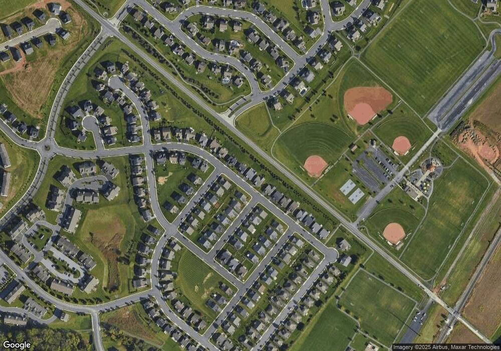
Map
Nearby Homes
- 917 Macoun Dr
- 2069 Spring Wood Ln
- 709 Jonathan Ct
- 1682 Haralson Dr
- 584 Smoke House Dr
- 1842 Shady Ln
- 1728 Haralson Dr
- Lot #V-15 Tolman St
- 1771 Shady Ln
- 1730 Fairbank Ln
- 1646 Haralson Dr
- 1592 Zestar Dr
- 1525 Zestar Dr
- 2034 N Fall Harvest Dr
- 2034 N Fall Harvest Dr Unit 56
- 812 Flintlock Ridge Rd
- 2040 N Fall Harvest Dr
- 1536 Zestar Dr
- Maddox Plan at Autumn Chase - Estates
- Monroe Plan at Autumn Chase - Estates
- 1949 Mcintosh Dr
- 1943 Mcintosh Dr
- 973 Ortley Mcintosh Dr
- 973 Ortley Dr
- 1951 Mcintosh Dr
- 1951 McInt Liberty Dr
- 1941 Mcintosh Dr
- 2003 Liberty Dr
- 1953 Mcintosh Dr
- 971 Ortley Dr
- 971 Ortley Dr Unit 323
- 970 Ortley Dr
- 1939 Mcintosh Dr
- 969 Ortley Dr Unit 322
- Lot# 313 966 Ortley Dr
- 968 Ortley Dr Unit 312
- 968 Ortley Dr
- 966 Ortley Dr
- 1938 Mcintosh Dr Unit 231
- 2005 Liberty Dr