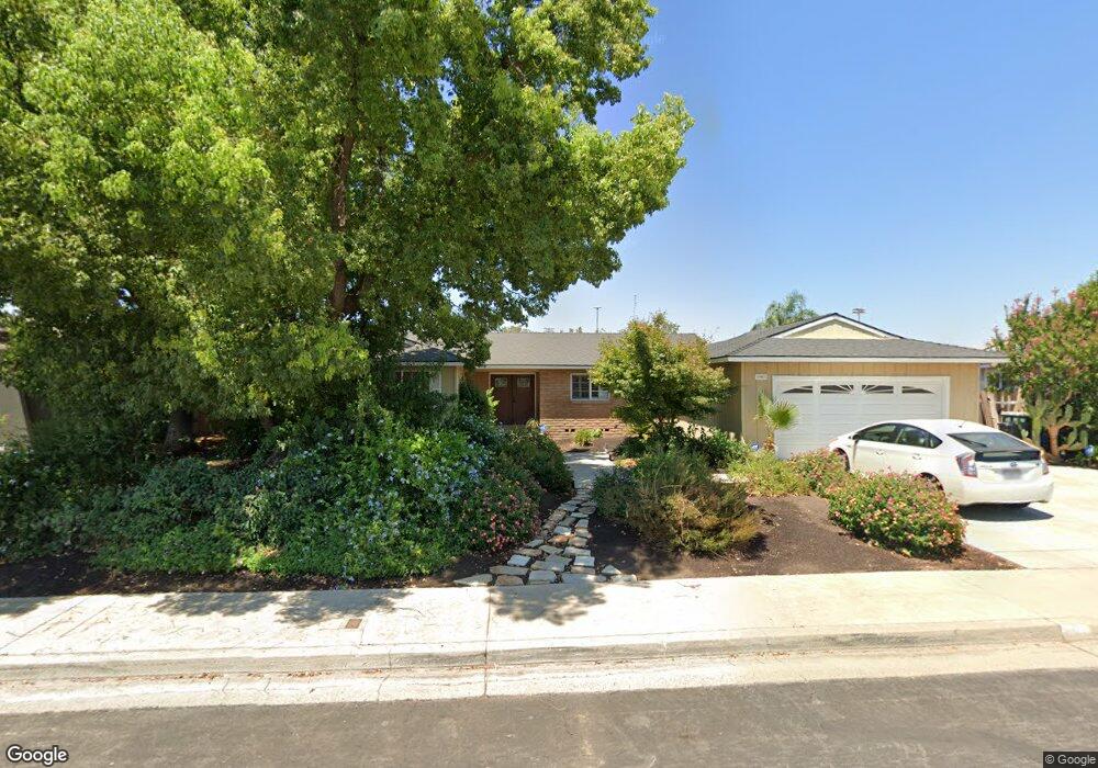
1947 Mitchell Ave Clovis, CA 93611
Estimated Value: $466,254 - $480,000
About This Home
This home is located at 1947 Mitchell Ave, Clovis, CA 93611 and is currently estimated at $473,314, approximately $257 per square foot. 1947 Mitchell Ave is a home located in Fresno County with nearby schools including Clovis Elementary School, Clark Intermediate School, and Clovis High School.
Ownership History
We collect this data history from publicly available records. To have your information removed, we recommend requesting removal directly through your county’s website.
Purchase Details
Home Financials for this Owner
Home Financials are based on the most recent Mortgage that was taken out on this home.Home Values in the Area
Average Home Value in this Area
Purchase History
We collect this data history from publicly available records. To have your information removed, we recommend requesting removal directly through your county’s website.
| Date | Buyer | Sale Price | Title Company |
|---|---|---|---|
| $135,000 | First American Title Ins Co |
Mortgage History
We collect this data history from publicly available records. To have your information removed, we recommend requesting removal directly through your county’s website.
| Date | Status | Borrower | Loan Amount |
|---|---|---|---|
| Previous Owner | $133,896 |
Tax History
We collect this data history from publicly available records. To have your information removed, we recommend requesting removal directly through your county’s website.
| Year | Tax Paid | Tax Assessment Tax Assessment Total Assessment is a certain percentage of the fair market value that is determined by local assessors to be the total taxable value of land and additions on the property. | Land | Improvement |
|---|---|---|---|---|
| 2025 | $2,377 | $207,465 | $69,151 | $138,314 |
| 2023 | $2,284 | $199,411 | $66,467 | $132,944 |
| 2022 | $2,252 | $195,502 | $65,164 | $130,338 |
| 2021 | $2,188 | $191,670 | $63,887 | $127,783 |
| 2020 | $2,178 | $189,705 | $63,232 | $126,473 |
| 2019 | $2,135 | $185,987 | $61,993 | $123,994 |
| 2018 | $2,087 | $182,341 | $60,778 | $121,563 |
| 2017 | $2,050 | $178,767 | $59,587 | $119,180 |
| 2016 | $1,979 | $175,263 | $58,419 | $116,844 |
| 2015 | $1,948 | $172,631 | $57,542 | $115,089 |
| 2014 | $1,910 | $169,250 | $56,415 | $112,835 |
Map
- 1872 Cougar Ln
- 1535 Bliss Ave
- 1854 Cougar Ln
- 1488 Whittier Ave
- 2147 Mitchell Ave
- 1764 Purvis Ave
- 1758 Barstow Ave
- 2034 Wrenwood Ave
- 3497 Shaw Ave
- 2154 Wrenwood Ave
- 1581 Barstow Ave
- 2272 Dawson Cove Ln
- 701 Mcarthur Ave
- 2270 Dawson Cove Ln S
- 1517 Lincoln Ave
- 1504 Scott Ave
- 1726 Fairmont Ave
- 2512 Keats Ave
- 1583 Celeste Ave
- 1407 Purvis Ave
- 1927 Mitchell Ave
- 1967 Mitchell Ave
- 1952 Cougar Ln
- 1920 Cougar Ln
- 1946 Mitchell Ave
- 1907 Mitchell Ave
- 1926 Mitchell Ave
- 1948 Cougar Ln
- 1987 Mitchell Ave
- 1916 Cougar Ln
- 1954 Cougar Ln
- 1422 Burgan Ave
- 1922 Cougar Ln
- 1950 Cougar Ln
- 1906 Mitchell Ave
- 1944 Cougar Ln
- 1918 Cougar Ln
- 1887 Mitchell Ave
- 1946 Cougar Ln
- 1914 Cougar Ln
Ask me questions while you tour the home.