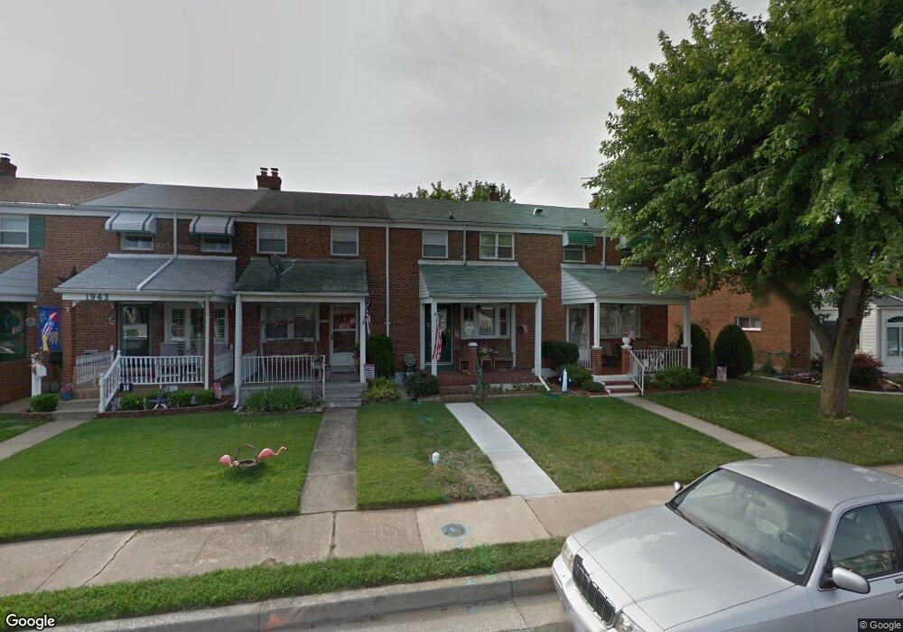
1947 Ormand Rd Dundalk, MD 21222
Estimated Value: $150,767 - $218,000
Studio
1
Bath
1,008
Sq Ft
$196/Sq Ft
Est. Value
About This Home
This home is located at 1947 Ormand Rd, Dundalk, MD 21222 and is currently estimated at $197,442, approximately $195 per square foot. 1947 Ormand Rd is a home located in Baltimore County with nearby schools including Grange Elementary School, General John Stricker Middle School, and Patapsco High & Center for Arts.
Ownership History
Date
Name
Owned For
Owner Type
Purchase Details
Closed on
Aug 31, 2020
Sold by
Petusky Rose Marie and Petusky William J
Bought by
Petusky William J
Current Estimated Value
Purchase Details
Closed on
Dec 7, 2011
Sold by
Petusky Rose Marie
Bought by
Petusky Rose Marie and Petusky William J
Home Financials for this Owner
Home Financials are based on the most recent Mortgage that was taken out on this home.
Original Mortgage
$104,737
Outstanding Balance
$71,578
Interest Rate
3.99%
Mortgage Type
FHA
Estimated Equity
$125,864
Purchase Details
Closed on
May 25, 1972
Sold by
Matthews William H
Bought by
Petusky William
Create a Home Valuation Report for This Property
The Home Valuation Report is an in-depth analysis detailing your home's value as well as a comparison with similar homes in the area
Home Values in the Area
Average Home Value in this Area
Purchase History
| Date | Buyer | Sale Price | Title Company |
|---|---|---|---|
| Petusky William J | -- | None Available | |
| Petusky Rose Marie | -- | Endeavor Title Llc | |
| Petusky William | $16,000 | -- |
Source: Public Records
Mortgage History
| Date | Status | Borrower | Loan Amount |
|---|---|---|---|
| Open | Petusky Rose Marie | $104,737 |
Source: Public Records
Tax History
| Year | Tax Paid | Tax Assessment Tax Assessment Total Assessment is a certain percentage of the fair market value that is determined by local assessors to be the total taxable value of land and additions on the property. | Land | Improvement |
|---|---|---|---|---|
| 2025 | $2,038 | $138,867 | -- | -- |
| 2024 | $2,038 | $129,533 | $0 | $0 |
| 2023 | $1,006 | $120,200 | $36,000 | $84,200 |
| 2022 | $2,022 | $118,700 | $0 | $0 |
| 2021 | $1,897 | $117,200 | $0 | $0 |
| 2020 | $1,402 | $115,700 | $36,000 | $79,700 |
| 2019 | $1,369 | $112,967 | $0 | $0 |
| 2018 | $1,889 | $110,233 | $0 | $0 |
| 2017 | $1,746 | $107,500 | $0 | $0 |
| 2016 | $1,579 | $107,500 | $0 | $0 |
| 2015 | $1,579 | $107,500 | $0 | $0 |
| 2014 | $1,579 | $124,400 | $0 | $0 |
Source: Public Records
Map
Nearby Homes
- 2725 Kirkleigh Rd
- 1954 Stanhope Rd
- 1930 Stanhope Rd
- 2746 Moorgate Rd
- 2738 Moorgate Rd
- 1924 Sunberry Rd
- 7252 Meadow Ln
- 7807 Rockbourne Rd
- 7832 Rockbourne Rd
- 1940H Robinwood Rd
- 9 Vista Mobile Dr
- 7111 Sollers Point Rd
- 2953 Yorkway
- 2970 Yorkway
- 7928 Kavanagh Rd
- 7512 School Ave
- 3135 Sollers Point Rd
- 2007 Dineen Dr
- 100 Shipway
- 1943 Dineen Dr
- 1949 Ormand Rd
- 1943 Ormand Rd
- 1941 Ormand Rd
- 1951 Ormand Rd
- 1939 Ormand Rd
- 1953 Ormand Rd
- 1937 Ormand Rd
- 1955 Ormand Rd
- 1957 Ormand Rd
- 1946 Holborn Rd
- 1948 Holborn Rd
- 1942 Holborn Rd
- 1940 Holborn Rd
- 1959 Ormand Rd
- 1950 Holborn Rd
- 1935 Ormand Rd
- 1938 Holborn Rd
- 1952 Holborn Rd
- 1961 Ormand Rd
- 1936 Holborn Rd
Your Personal Tour Guide
Ask me questions while you tour the home.