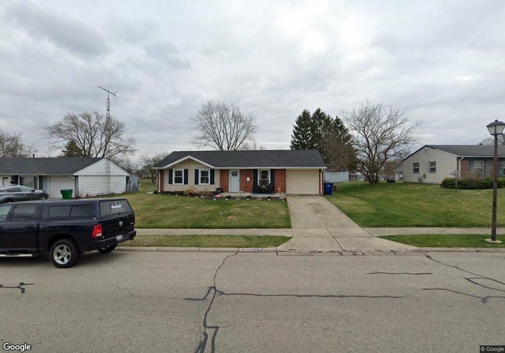
1947 Providence Ave Springfield, OH 45503
Estimated Value: $169,031 - $177,000
3
Beds
1
Bath
950
Sq Ft
$183/Sq Ft
Est. Value
About This Home
This home is located at 1947 Providence Ave, Springfield, OH 45503 and is currently estimated at $173,758, approximately $182 per square foot. 1947 Providence Ave is a home located in Clark County with nearby schools including Northridge Elementary School, Kenton Ridge Middle & High School, and Emmanuel Christian Academy.
Ownership History
Date
Name
Owned For
Owner Type
Purchase Details
Closed on
Jul 12, 2023
Sold by
Mason Chad M and Mason Melissa A
Bought by
Bostick Kristin S
Current Estimated Value
Purchase Details
Closed on
Jun 3, 1996
Sold by
Hamilton Nancy G
Bought by
Mason Chad M
Home Financials for this Owner
Home Financials are based on the most recent Mortgage that was taken out on this home.
Original Mortgage
$61,861
Interest Rate
7.99%
Mortgage Type
FHA
Purchase Details
Closed on
Aug 3, 1992
Create a Home Valuation Report for This Property
The Home Valuation Report is an in-depth analysis detailing your home's value as well as a comparison with similar homes in the area
Home Values in the Area
Average Home Value in this Area
Purchase History
| Date | Buyer | Sale Price | Title Company |
|---|---|---|---|
| Bostick Kristin S | $140,000 | None Listed On Document | |
| Bostick Kristin S | $140,000 | None Listed On Document | |
| Mason Chad M | $61,900 | -- | |
| -- | $53,500 | -- |
Source: Public Records
Mortgage History
| Date | Status | Borrower | Loan Amount |
|---|---|---|---|
| Previous Owner | Mason Chad M | $61,861 |
Source: Public Records
Tax History
| Year | Tax Paid | Tax Assessment Tax Assessment Total Assessment is a certain percentage of the fair market value that is determined by local assessors to be the total taxable value of land and additions on the property. | Land | Improvement |
|---|---|---|---|---|
| 2025 | $1,579 | $47,900 | $8,100 | $39,800 |
| 2024 | $1,527 | $36,430 | $8,290 | $28,140 |
| 2023 | $1,527 | $36,430 | $8,290 | $28,140 |
| 2022 | $1,533 | $36,430 | $8,290 | $28,140 |
| 2021 | $1,363 | $27,780 | $6,430 | $21,350 |
| 2020 | $1,364 | $27,780 | $6,430 | $21,350 |
| 2019 | $1,392 | $27,780 | $6,430 | $21,350 |
| 2018 | $1,247 | $24,050 | $5,360 | $18,690 |
| 2017 | $1,064 | $26,772 | $5,355 | $21,417 |
| 2016 | $1,057 | $26,772 | $5,355 | $21,417 |
| 2015 | $1,229 | $26,772 | $5,355 | $21,417 |
| 2014 | $1,229 | $26,772 | $5,355 | $21,417 |
| 2013 | $1,226 | $26,772 | $5,355 | $21,417 |
Source: Public Records
Map
Nearby Homes
- 1924 Marinette Dr
- 3214 Revels St
- 3300 Revels St
- 1948 Falmouth Ave
- 2043 Providence Ave
- 1811 Devon Dr
- 2022 Westboro Ave
- 2529 Marinette Dr
- 1516 Hyannis Dr
- 2400 Thor Dr
- 2861 Ashlar Dr
- 1032 Armsgate Rd
- 1040 Carson Ln
- 1139 Bradford Dr
- 3126 Lakeview Ct Unit 3126
- 3124 El Camino Dr
- 2553 Derr Rd
- 1149 Foxboro Rd
- 1136 Foxboro Rd Unit 202
- 3135 Imperial Blvd
- 2001 Providence Ave
- 3016 Heritage St
- 2007 Providence Ave
- 1923 Providence Ave
- 2945 Brewster Ct
- 3010 Heritage St
- 1948 Providence Ave
- 1940 Providence Ave
- 2009 Providence Ave
- 2942 Brewster Ct
- 1932 Providence Ave
- 3000 Heritage St
- 3108 Tackett St
- 3109 Tackett St
- 2011 Providence Ave
- 2010 Providence Ave
- 1924 Providence Ave
- 1915 Providence Ave
- 3011 Heritage St
- 2944 Heritage St
Your Personal Tour Guide
Ask me questions while you tour the home.