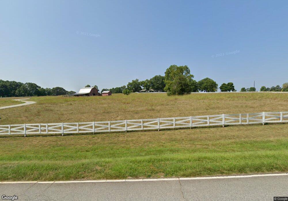
1947 Roe Ford Rd Greenville, SC 29617
Estimated Value: $678,000 - $1,436,000
3
Beds
3
Baths
5,068
Sq Ft
$212/Sq Ft
Est. Value
About This Home
This home is located at 1947 Roe Ford Rd, Greenville, SC 29617 and is currently estimated at $1,072,080, approximately $211 per square foot. 1947 Roe Ford Rd is a home located in Greenville County with nearby schools including Duncan Chapel Elementary, Northwest Middle School, and Travelers Rest High School.
Ownership History
Date
Name
Owned For
Owner Type
Purchase Details
Closed on
Jan 30, 2012
Sold by
Waldrep Patricia Lark and Mccauley Kenneth Mitchell
Bought by
Hollar Kurt R and Hollar Janet H
Current Estimated Value
Home Financials for this Owner
Home Financials are based on the most recent Mortgage that was taken out on this home.
Original Mortgage
$417,000
Outstanding Balance
$50,865
Interest Rate
3.99%
Mortgage Type
Future Advance Clause Open End Mortgage
Estimated Equity
$1,021,215
Create a Home Valuation Report for This Property
The Home Valuation Report is an in-depth analysis detailing your home's value as well as a comparison with similar homes in the area
Home Values in the Area
Average Home Value in this Area
Purchase History
| Date | Buyer | Sale Price | Title Company |
|---|---|---|---|
| Hollar Kurt R | $625,000 | -- |
Source: Public Records
Mortgage History
| Date | Status | Borrower | Loan Amount |
|---|---|---|---|
| Open | Hollar Kurt R | $417,000 |
Source: Public Records
Tax History Compared to Growth
Tax History
| Year | Tax Paid | Tax Assessment Tax Assessment Total Assessment is a certain percentage of the fair market value that is determined by local assessors to be the total taxable value of land and additions on the property. | Land | Improvement |
|---|---|---|---|---|
| 2024 | $14,119 | $44,070 | $13,890 | $30,180 |
| 2023 | $14,119 | $44,070 | $13,890 | $30,180 |
| 2022 | $13,458 | $44,070 | $13,890 | $30,180 |
| 2021 | $13,141 | $44,070 | $13,890 | $30,180 |
| 2020 | $12,031 | $38,320 | $12,080 | $26,240 |
| 2019 | $11,989 | $38,320 | $12,080 | $26,240 |
| 2018 | $11,916 | $38,320 | $12,080 | $26,240 |
| 2017 | $5,320 | $27,420 | $4,320 | $23,100 |
| 2016 | $5,138 | $638,650 | $201,240 | $437,410 |
| 2015 | $5,037 | $638,650 | $201,240 | $437,410 |
| 2014 | $10,777 | $619,810 | $201,240 | $418,570 |
Source: Public Records
Map
Nearby Homes
- 2 Tall Poplar Trail
- 5 Tall Poplar Trail
- 22 Tall Poplar Trail
- 2 Wheatstone Ct
- 100 Sunrise Valley Rd
- 222 Montview Cir
- 114 Seattle Slew Ln
- 914 McElhaney Rd
- 206 Hunters Ct
- 43 Park Vista Way
- 39 Park Vista Way
- 22 Calmar Ct
- 47 Park Vista Way
- 71 Park Vista Way
- 208 Carilion Ln
- 105 E Round Hill Rd
- 505 Summitbluff Dr
- 202 Montview Cir
- 304 Wild Geese Way
- 519 Palladio Dr
- 1923 Roe Ford Rd
- 1950 Roe Ford Rd
- 1916 Roe Ford Rd
- 1912 Roe Ford Rd
- 1998 Roe Ford Rd
- Lot 6 Tall Poplar Trail
- 6 Tall Poplar Trail
- Lot 10 Tall Poplar Trail
- 10 Tall Poplar Trail
- 1997 Roe Ford Rd
- Lot 2 Tall Poplar Trail
- 0 Tall Poplar Trail Unit 1453844
- 0 Tall Poplar Trail Unit 1453650
- 0 Tall Poplar Trail Unit 1453651
- 0 Tall Poplar Trail Unit 1453649
- 0 Tall Poplar Trail Unit 1453648
- 0 Tall Poplar Trail Unit 1453647
- 0 Tall Poplar Trail Unit 1453646
- 2121 Roe Ford Rd
- Lot 11 Tall Poplar Trail