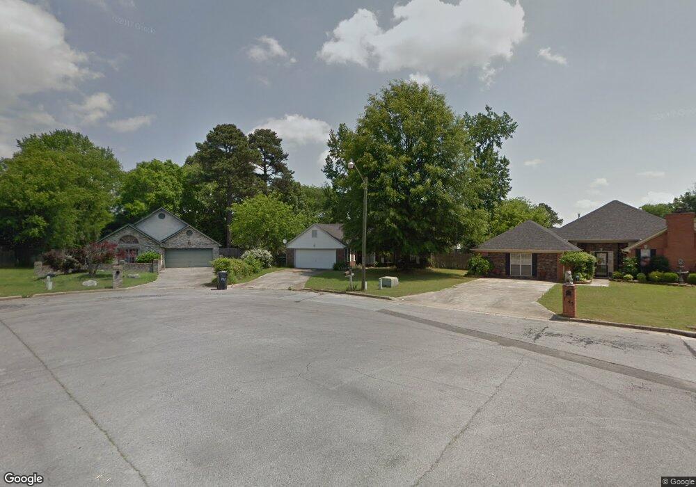
1947 S Brownstone Ct SW Decatur, AL 35603
Westmead NeighborhoodEstimated Value: $163,076 - $213,000
--
Bed
--
Bath
1,303
Sq Ft
$145/Sq Ft
Est. Value
About This Home
This home is located at 1947 S Brownstone Ct SW, Decatur, AL 35603 and is currently estimated at $189,019, approximately $145 per square foot. 1947 S Brownstone Ct SW is a home located in Morgan County with nearby schools including Julian Harris Elementary School, Cedar Ridge Middle School, and Austin High School.
Ownership History
Date
Name
Owned For
Owner Type
Purchase Details
Closed on
Jun 30, 2010
Sold by
Rohr James D
Bought by
Summersett Vernon Steve
Current Estimated Value
Home Financials for this Owner
Home Financials are based on the most recent Mortgage that was taken out on this home.
Original Mortgage
$54,928
Outstanding Balance
$36,701
Interest Rate
4.83%
Mortgage Type
New Conventional
Estimated Equity
$152,318
Create a Home Valuation Report for This Property
The Home Valuation Report is an in-depth analysis detailing your home's value as well as a comparison with similar homes in the area
Home Values in the Area
Average Home Value in this Area
Purchase History
| Date | Buyer | Sale Price | Title Company |
|---|---|---|---|
| Summersett Vernon Steve | -- | None Available |
Source: Public Records
Mortgage History
| Date | Status | Borrower | Loan Amount |
|---|---|---|---|
| Open | Summersett Vernon Steve | $54,928 |
Source: Public Records
Tax History Compared to Growth
Tax History
| Year | Tax Paid | Tax Assessment Tax Assessment Total Assessment is a certain percentage of the fair market value that is determined by local assessors to be the total taxable value of land and additions on the property. | Land | Improvement |
|---|---|---|---|---|
| 2024 | $1,114 | $12,300 | $2,140 | $10,160 |
| 2023 | $1,114 | $12,300 | $2,140 | $10,160 |
| 2022 | $1,060 | $11,700 | $2,020 | $9,680 |
| 2021 | $915 | $10,100 | $2,020 | $8,080 |
| 2020 | $1,039 | $16,720 | $2,000 | $14,720 |
| 2019 | $1,039 | $22,940 | $0 | $0 |
| 2015 | $938 | $20,700 | $0 | $0 |
| 2014 | $938 | $20,700 | $0 | $0 |
| 2013 | -- | $20,400 | $0 | $0 |
Source: Public Records
Map
Nearby Homes
- 1962 E Brownstone Ct SW
- 1903 Cumberland Ave SW
- 1904 W Brownstone Ct SW
- 1923 W Brownstone Ct SW
- 1827 N Brownstone Ct SW
- 2313 Cumberland Ct SW
- 1812 Brownstone Ave SW
- 1829 Brownstone Ave SW
- 1711 Wilshire Ave SW
- 2409 Brookline Ct SW
- 1925 Dresden Dr SW
- 1712 Brookline Ave SW
- 1701 Saginaw Ln SW
- 2141 Westmead Dr SW Unit 4
- 2413 Gaslight Place SW
- 2415 Gaslight Place SW
- 2406 Auburn Dr SW
- 7.5 Brownstone Ct SW
- 2504 Jarvis St SW
- 2179 Westbury Ct SW
- 1949 S Brownstone Ct SW
- 1945 S Brownstone Ct SW
- 1901 Cumberland Ave SW
- 1820 Chandler Ct SW
- 1817 Cumberland Ave SW
- 1951 S Brownstone Ct SW
- 1943 S Brownstone Ct SW
- 1818 Chandler Ct SW
- 1953 S Brownstone Ct SW
- 1819 Chandler Ct SW
- 1815 Cumberland Ave SW
- 1941 S Brownstone Ct SW
- 1905 Cumberland Ave SW
- 1939 S Brownstone Ct SW
- 1816 Chandler Ct SW
- 1817 Chandler Ct SW
- 1813 Cumberland Ave SW
- 1820 Cumberland Ave SW
- 1937 S Brownstone Ct SW
- 1955 E Brownstone Ct SW