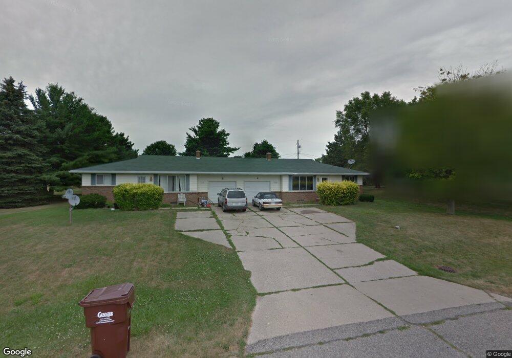
1947 Sunnymede Ln Lansing, MI 48906
Estimated Value: $254,000 - $300,000
6
Beds
2
Baths
1,952
Sq Ft
$143/Sq Ft
Est. Value
About This Home
This home is located at 1947 Sunnymede Ln, Lansing, MI 48906 and is currently estimated at $278,686, approximately $142 per square foot. 1947 Sunnymede Ln is a home located in Clinton County with nearby schools including Gier Park School, Pattengill Academy, and Eastern Lansing High School.
Ownership History
Date
Name
Owned For
Owner Type
Purchase Details
Closed on
Dec 16, 2020
Sold by
Jenks Alvin F and Jenks Victoria L
Bought by
Jenks Alvin F and Jenks Victoria L
Current Estimated Value
Purchase Details
Closed on
Apr 18, 2003
Sold by
Estate Of Christopher Todd Hall
Bought by
Gardner William D and Hathaway Vicki
Home Financials for this Owner
Home Financials are based on the most recent Mortgage that was taken out on this home.
Original Mortgage
$146,600
Outstanding Balance
$62,793
Interest Rate
5.71%
Mortgage Type
Purchase Money Mortgage
Estimated Equity
$215,893
Create a Home Valuation Report for This Property
The Home Valuation Report is an in-depth analysis detailing your home's value as well as a comparison with similar homes in the area
Home Values in the Area
Average Home Value in this Area
Purchase History
| Date | Buyer | Sale Price | Title Company |
|---|---|---|---|
| Jenks Alvin F | -- | None Available | |
| Gardner William D | $162,900 | Fatic |
Source: Public Records
Mortgage History
| Date | Status | Borrower | Loan Amount |
|---|---|---|---|
| Open | Gardner William D | $146,600 |
Source: Public Records
Tax History Compared to Growth
Tax History
| Year | Tax Paid | Tax Assessment Tax Assessment Total Assessment is a certain percentage of the fair market value that is determined by local assessors to be the total taxable value of land and additions on the property. | Land | Improvement |
|---|---|---|---|---|
| 2025 | -- | $115,200 | $22,000 | $93,200 |
| 2024 | $2,504 | $103,800 | $20,600 | $83,200 |
| 2023 | $2,379 | $95,000 | $0 | $0 |
| 2022 | $3,741 | $84,400 | $18,300 | $66,100 |
| 2021 | $3,650 | $80,100 | $17,400 | $62,700 |
| 2020 | $3,580 | $75,200 | $16,400 | $58,800 |
| 2019 | $3,466 | $69,700 | $15,400 | $54,300 |
| 2018 | $3,564 | $65,200 | $15,000 | $50,200 |
| 2017 | $3,525 | $63,200 | $14,300 | $48,900 |
| 2016 | $3,089 | $63,300 | $13,500 | $49,800 |
| 2015 | $3,028 | $60,800 | $0 | $0 |
| 2011 | -- | $71,100 | $0 | $0 |
Source: Public Records
Map
Nearby Homes
- 15301 Boichot Rd
- 15326 Boichot Rd
- 15480 Boichot Rd
- 106 Lancelot Place W Unit 28
- 15710 Oak Lane Dr
- 500 Merlin Dr Unit 406
- 15860 Oak Lane Dr
- 15975 Northward Dr
- 220 Saint Ives N
- 1404 W Stoll Rd
- 16084 S Us Highway 27
- 14144 Ambrosia Ave
- 14031 Ambrosia Ave
- The Spruce Plan at Thomas Farms - Leisure Series
- The Brinley Plan at Thomas Farms - Hometown Series
- 14054 Ambrosia Ave
- The Grayson Plan at Thomas Farms - Americana Series
- The Amber Plan at Thomas Farms - Hometown Series
- The Marley Plan at Thomas Farms - Americana Series
- The Sanibel Plan at Thomas Farms - Americana Series
- 1895 Sunnymede Ln
- 1950 E Stoll Rd
- 0 Sunnymede Ln
- 1894 E Stoll Rd
- 1960 E Stoll Rd
- 1946 Sunnymede Ln
- 1916 Sunnymede Ln Unit 1918
- 1916 Sunnymede Ln Unit 1916-1918
- 1845 Sunnymede Ln
- 1962 Sunnymede Ln
- 1979 Sunnymede Ln
- 1878 Sunnymede Ln
- 1844 E Stoll Rd
- 1980 E Stoll Rd
- 1980 E Stoll Rd
- 1986 Sunnymede Ln
- 1799 Sunnymede Ln
- 1820 & 1822 Sunnymede