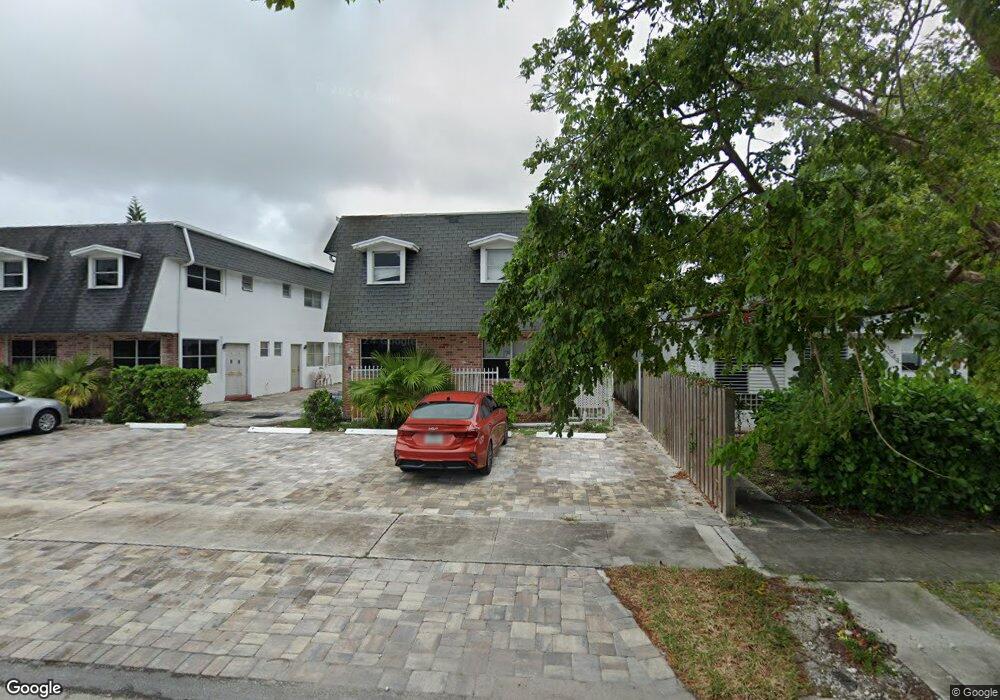
1947 Taylor St Unit 1 Hollywood, FL 33020
Royal Poinciana NeighborhoodEstimated Value: $136,318 - $321,000
2
Beds
1
Bath
833
Sq Ft
$231/Sq Ft
Est. Value
About This Home
This home is located at 1947 Taylor St Unit 1, Hollywood, FL 33020 and is currently estimated at $192,080, approximately $230 per square foot. 1947 Taylor St Unit 1 is a home located in Broward County with nearby schools including Dania Elementary School, Olsen Middle School, and South Broward High School.
Ownership History
Date
Name
Owned For
Owner Type
Purchase Details
Closed on
Mar 8, 2019
Sold by
Agudelo Gladys
Bought by
Gamiz Liza
Current Estimated Value
Purchase Details
Closed on
Feb 11, 2019
Sold by
Miret Rogelio
Bought by
Agudelo Gladys
Purchase Details
Closed on
Dec 5, 2002
Sold by
Miret Rogelio
Bought by
Agudelo Gladys
Home Financials for this Owner
Home Financials are based on the most recent Mortgage that was taken out on this home.
Original Mortgage
$36,000
Interest Rate
5.99%
Purchase Details
Closed on
Mar 20, 2001
Purchase Details
Closed on
Dec 17, 1998
Sold by
Grdn Claude Berthaumf
Bought by
Miret Judy
Purchase Details
Closed on
Nov 1, 1991
Sold by
Available Not
Bought by
Available Not
Create a Home Valuation Report for This Property
The Home Valuation Report is an in-depth analysis detailing your home's value as well as a comparison with similar homes in the area
Home Values in the Area
Average Home Value in this Area
Purchase History
| Date | Buyer | Sale Price | Title Company |
|---|---|---|---|
| Gamiz Liza | $79,000 | Attorney | |
| Agudelo Gladys | -- | Attorney | |
| Agudelo Gladys | $45,000 | Consolidated Title Company | |
| -- | $10,000 | -- | |
| Miret Judy | $28,000 | -- | |
| Available Not | $24,000 | -- |
Source: Public Records
Mortgage History
| Date | Status | Borrower | Loan Amount |
|---|---|---|---|
| Previous Owner | Agudelo Gladys | $36,000 |
Source: Public Records
Tax History Compared to Growth
Tax History
| Year | Tax Paid | Tax Assessment Tax Assessment Total Assessment is a certain percentage of the fair market value that is determined by local assessors to be the total taxable value of land and additions on the property. | Land | Improvement |
|---|---|---|---|---|
| 2025 | -- | $98,320 | $9,830 | $88,490 |
| 2024 | $2,141 | $98,320 | $9,830 | $88,490 |
| 2023 | $2,141 | $85,500 | $8,550 | $76,950 |
| 2022 | $2,021 | $80,780 | $0 | $0 |
| 2021 | $1,855 | $73,440 | $7,340 | $66,100 |
| 2020 | $1,798 | $71,100 | $7,110 | $63,990 |
| 2019 | $1,563 | $71,170 | $7,120 | $64,050 |
| 2018 | $1,479 | $74,120 | $7,410 | $66,710 |
| 2017 | $1,333 | $43,870 | $0 | $0 |
| 2016 | $1,261 | $39,890 | $0 | $0 |
| 2015 | $1,224 | $36,270 | $0 | $0 |
| 2014 | $952 | $32,980 | $0 | $0 |
| 2013 | -- | $29,990 | $3,000 | $26,990 |
Source: Public Records
Map
Nearby Homes
- 2000 Polk St
- 2010 Fillmore St Unit 303
- 2010 Fillmore St Unit 202
- 504 N 20th Ave
- 1930 Pierce St
- 1817 Taylor St Unit 1614
- 1817 Taylor St Unit 1211
- 1817 Taylor St Unit 1503
- 1817 Taylor St Unit 1207
- 1817 Taylor St Unit 1109
- 1817 Taylor St Unit 1812
- 1817 Taylor St Unit 1806
- 1817 Taylor St Unit 1615
- 1817 Taylor St Unit 1204
- 1817 Taylor St Unit 1602
- 1817 Taylor St Unit 1101
- 1830 Radius Dr Unit 810
- 1830 Radius Dr Unit 516
- 1830 Radius Dr Unit 1301
- 1830 Radius Dr Unit 609
- 1947 Taylor St Unit 6
- 1947 Taylor St Unit 5
- 1947 Taylor St Unit 4
- 1947 Taylor St Unit 3
- 1947 Taylor St Unit 2
- 1943 Taylor St
- 1953 Taylor St
- 1955 Taylor St
- 1955 Taylor St
- 402 N 20th Ave
- 406 N 20th Ave
- 406 N 20th Ave Unit S12
- 1959 Taylor St
- 1937 Taylor St
- 1937 Taylor St Unit 2
- 1937 Taylor St Unit 1
- 1937 Taylor St Unit 3
- 1935 Taylor St Unit 2
- 1935 Taylor St Unit 1
- 1933 Taylor St