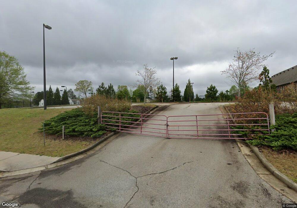
1947 Waterside Cir Bethlehem, GA 30620
Estimated Value: $1,051,425
--
Bed
--
Bath
6,072
Sq Ft
$173/Sq Ft
Est. Value
About This Home
This home is located at 1947 Waterside Cir, Bethlehem, GA 30620 and is currently estimated at $1,051,425, approximately $173 per square foot. 1947 Waterside Cir is a home located in Barrow County with nearby schools including Yargo Elementary School, Haymon-Morris Middle School, and Apalachee High School.
Ownership History
Date
Name
Owned For
Owner Type
Purchase Details
Closed on
May 16, 2024
Sold by
Fth Investments Lp
Bought by
House Of Prayer Trust and Rudenko Alexander Tr
Current Estimated Value
Purchase Details
Closed on
Feb 23, 2012
Sold by
Community & Southern Bank
Bought by
Fth Investments Lp and Srt Properties & Investments L
Purchase Details
Closed on
Sep 17, 2010
Sold by
Peoples Bk
Bought by
Community Sthrn Bk
Purchase Details
Closed on
Jun 17, 2008
Sold by
Ridgeview Partners Llc
Bought by
Young Men'S Christian Association Of
Purchase Details
Closed on
Oct 8, 2006
Sold by
Reynolds Tripp
Bought by
Ridgeview Partners Llc
Create a Home Valuation Report for This Property
The Home Valuation Report is an in-depth analysis detailing your home's value as well as a comparison with similar homes in the area
Home Values in the Area
Average Home Value in this Area
Purchase History
| Date | Buyer | Sale Price | Title Company |
|---|---|---|---|
| House Of Prayer Trust | -- | -- | |
| House Of Prayer Trust | $1,027,000 | -- | |
| Fth Investments Lp | $245,700 | -- | |
| Community Sthrn Bk | -- | -- | |
| Young Men'S Christian Association Of | -- | -- | |
| Ridgeview Partners Llc | $1,950,000 | -- |
Source: Public Records
Tax History Compared to Growth
Tax History
| Year | Tax Paid | Tax Assessment Tax Assessment Total Assessment is a certain percentage of the fair market value that is determined by local assessors to be the total taxable value of land and additions on the property. | Land | Improvement |
|---|---|---|---|---|
| 2024 | $10,532 | $403,409 | $45,780 | $357,629 |
| 2023 | $12,057 | $403,409 | $45,780 | $357,629 |
| 2022 | $17,953 | $607,356 | $45,780 | $561,576 |
| 2021 | $10,201 | $316,764 | $26,160 | $290,604 |
| 2020 | $10,228 | $316,764 | $26,160 | $290,604 |
| 2019 | $10,402 | $316,764 | $26,160 | $290,604 |
| 2018 | $10,100 | $316,932 | $26,160 | $290,772 |
| 2017 | $10,734 | $368,648 | $26,160 | $342,488 |
| 2016 | $3,870 | $115,606 | $26,160 | $89,446 |
| 2015 | $3,888 | $115,606 | $26,160 | $89,446 |
| 2014 | $3,648 | $104,096 | $14,650 | $89,446 |
| 2013 | -- | $99,901 | $12,818 | $87,082 |
Source: Public Records
Map
Nearby Homes
- The Landon II Plan at River Walk - Waterside
- The Baxley (5-Bed) Plan at River Walk - Waterside
- The Baxley Plan at River Walk - Waterside
- 2052 Waterside Ln
- 197 Trail Winds Dr
- 1130 Lyndhurst Ln
- 348 Silverleaf Trail
- 320 Silverleaf Trail
- 294 Silverleaf Trail
- 374 Silverleaf Trail
- 349 Silverleaf Trail
- 335 Silverleaf Trail
- 1207 Lyndhurst Ln
- 1529 Blakewood Trail
- 362 Silverleaf Trail
- 334 Silverleaf Trail
- 1947 Waterside Cir
- 1942 Waterside Cir
- 1944 Waterside Cir
- 1980 Waterside Cir
- 1978 Waterside Cir
- 1400 Nantucket Dr
- 130 Alexander Ln
- 1403 Nantucket Dr
- 1972 Waterside Cir
- 105 Alexander Ln
- 1950 Waterside Cir
- 1952 Waterside Cir
- 163 Alexander Ln
- 1404 Nantucket Dr
- 1970 Waterside Cir
- 235 Alexander Ln
- 203 Alexander Ln
- 1405 Nantucket Dr
- 1954 Waterside Cir
- 1968 Waterside Cir
