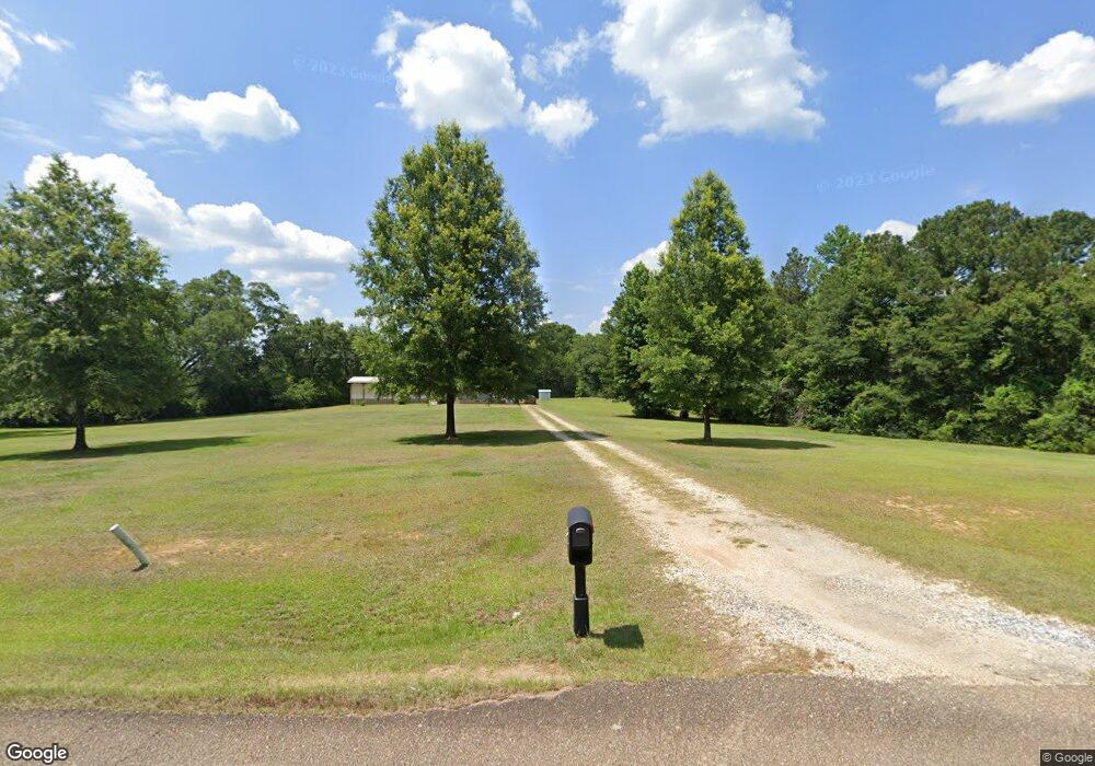
19471 Cory Rd Independence, LA 70443
Estimated Value: $197,000 - $210,000
Studio
--
Bath
1,663
Sq Ft
$122/Sq Ft
Est. Value
About This Home
This home is located at 19471 Cory Rd, Independence, LA 70443 and is currently estimated at $203,500, approximately $122 per square foot. 19471 Cory Rd is a home with nearby schools including Loranger Elementary School, Loranger Middle School, and Loranger High School.
Ownership History
Date
Name
Owned For
Owner Type
Purchase Details
Closed on
Jul 16, 2008
Sold by
Bennett Capps Sandra Bennett and Bennett Sander Carol
Bought by
Smith Brunett Jr Thomas Gerald and Smith Brunett Deborah
Current Estimated Value
Home Financials for this Owner
Home Financials are based on the most recent Mortgage that was taken out on this home.
Original Mortgage
$102,400
Outstanding Balance
$67,158
Interest Rate
6.4%
Mortgage Type
New Conventional
Estimated Equity
$136,342
Create a Home Valuation Report for This Property
The Home Valuation Report is an in-depth analysis detailing your home's value as well as a comparison with similar homes in the area
Purchase History
| Date | Buyer | Sale Price | Title Company |
|---|---|---|---|
| Smith Brunett Jr Thomas Gerald | $123,000 | Northshore Title Llc |
Source: Public Records
Mortgage History
| Date | Status | Borrower | Loan Amount |
|---|---|---|---|
| Open | Smith Brunett Jr Thomas Gerald | $102,400 |
Source: Public Records
Tax History Compared to Growth
Tax History
| Year | Tax Paid | Tax Assessment Tax Assessment Total Assessment is a certain percentage of the fair market value that is determined by local assessors to be the total taxable value of land and additions on the property. | Land | Improvement |
|---|---|---|---|---|
| 2024 | -- | $6,354 | $1,041 | $5,313 |
| 2023 | $0 | $6,321 | $1,009 | $5,312 |
| 2022 | $489 | $6,321 | $1,009 | $5,312 |
| 2021 | $464 | $6,321 | $1,009 | $5,312 |
| 2020 | $459 | $6,321 | $1,009 | $5,312 |
| 2019 | $459 | $6,321 | $1,009 | $5,312 |
| 2018 | $459 | $6,321 | $1,009 | $5,312 |
| 2017 | $459 | $6,321 | $1,009 | $5,312 |
| 2016 | $459 | $6,321 | $1,009 | $5,312 |
| 2015 | $459 | $6,321 | $1,009 | $5,312 |
| 2014 | -- | $6,321 | $1,009 | $5,312 |
Source: Public Records
Map
Nearby Homes
- 57273 Briar Patch Cemetary Rd
- 18190 Wolf Track Way
- 18409 Gallatin Dr
- 55154 Coyote Den Way
- 55021 Coyote Den Way
- 18292 Wolf Track Way
- 18317 Wolf Track Way
- Hwy 40 E Unit LotWP001
- 18198 Wolf Track Way
- 20599 Louisiana 1062
- 18181 Red Wolf Trail
- 18188 Red Wolf Trail
- 18171 Grey Wolf Trail
- 18178 Grey Wolf Trail
- 55021 Coyote Trail None
- 54225 Passman Rd
- 54120 Passman Rd
- 53511 Harvest Ln
- 53384 N Highway 40 Hwy
- 0 Leonard F Husser Rd Unit LotWP001
- 19427 Cory Rd
- 19424 Cory Rd
- 19373 Cory Rd
- 19372 Cory Rd
- 56501 Loranger Rd
- 56502 Loranger Rd
- 60160 N Loranger Rd
- 19312 Cory Rd
- 19476 Cory Rd
- 56431 Loranger Rd
- 56407 Loranger Rd
- 19290 Cory Rd
- 57273 Briar Patch Cemetary Rd
- 56449 Loranger Rd
- 19251 Cory Rd
- 19251 Cory Rd
- 19255 Cory Rd
- 19252 Cory Rd
- 57289 Briar Patch Cemetary Rd
- 57176 Briar Patch Cemetary Rd
