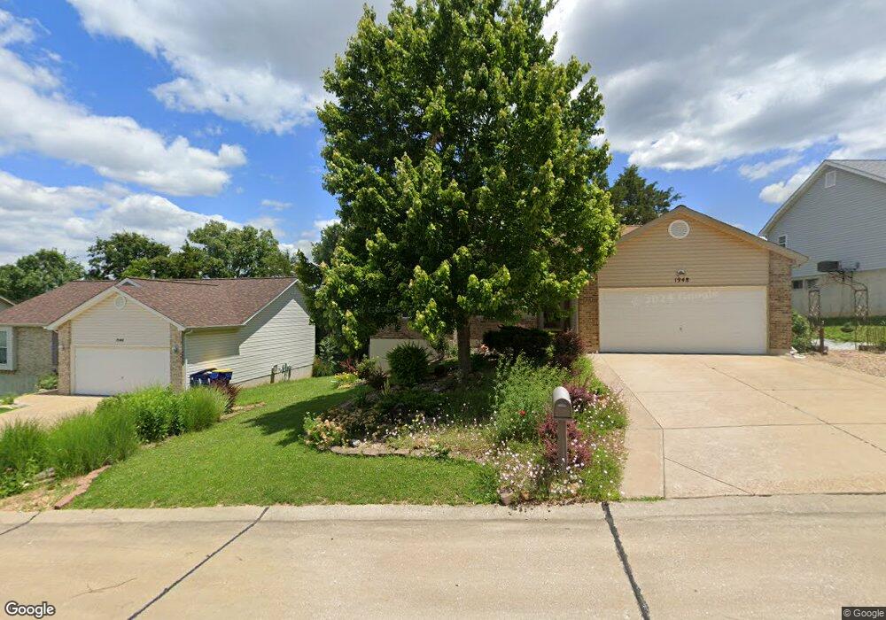
1948 Anchorage Dr Festus, MO 63028
Festus/Crystal City NeighborhoodEstimated Value: $271,043 - $306,000
About This Home
This home is located at 1948 Anchorage Dr, Festus, MO 63028 and is currently estimated at $287,261, approximately $230 per square foot. 1948 Anchorage Dr is a home located in Jefferson County with nearby schools including Festus Elementary School, Festus Intermediate School, and Festus Middle School.
Ownership History
We collect this data history from publicly available records. To have your information removed, we recommend requesting removal directly through your county’s website.
Purchase Details
Purchase Details
Home Financials for this Owner
Home Financials are based on the most recent Mortgage that was taken out on this home.Home Values in the Area
Average Home Value in this Area
Purchase History
We collect this data history from publicly available records. To have your information removed, we recommend requesting removal directly through your county’s website.
| Date | Buyer | Sale Price | Title Company |
|---|---|---|---|
| -- | None Available | ||
| -- | -- |
Mortgage History
We collect this data history from publicly available records. To have your information removed, we recommend requesting removal directly through your county’s website.
| Date | Status | Borrower | Loan Amount |
|---|---|---|---|
| Open | $126,700 |
Tax History
We collect this data history from publicly available records. To have your information removed, we recommend requesting removal directly through your county’s website.
| Year | Tax Paid | Tax Assessment Tax Assessment Total Assessment is a certain percentage of the fair market value that is determined by local assessors to be the total taxable value of land and additions on the property. | Land | Improvement |
|---|---|---|---|---|
| 2025 | $1,891 | $35,600 | $8,800 | $26,800 |
| 2024 | $1,891 | $33,400 | $8,800 | $24,600 |
| 2023 | $1,891 | $33,400 | $8,800 | $24,600 |
| 2022 | $1,881 | $33,400 | $8,800 | $24,600 |
| 2021 | $1,883 | $33,400 | $8,800 | $24,600 |
| 2020 | $1,809 | $30,100 | $8,000 | $22,100 |
| 2019 | $1,809 | $30,100 | $8,000 | $22,100 |
| 2018 | $1,631 | $30,100 | $8,000 | $22,100 |
| 2017 | $1,631 | $30,100 | $8,000 | $22,100 |
| 2016 | $1,449 | $26,600 | $6,400 | $20,200 |
| 2015 | $1,382 | $26,600 | $6,400 | $20,200 |
| 2013 | $1,382 | $26,400 | $6,400 | $20,000 |
Map
- 1955 Anchorage Dr
- 12 Parkville Ln
- 2 Jackson Cir
- 1604 Sugar Creek Dr
- 11600 Gamel Cemetery Rd
- 86 Adventura Dr
- 1605 Sugar Creek Dr
- 65 Jackson Cir
- 712 Tanglewood Acres
- 1607 Sugar Creek Dr
- 1614 Sugar Creek Dr
- 1321 Shapiro Dr
- 11736 County Road Cc
- 120 Greenbrier Blvd
- 1946 Masters Dr
- 52 Ashford Place
- 65 Ashford Place
- 11787 Gamel Cemetery Rd
- 811 Woodside Creek Dr
- 11427 Westhill Dr
- 1944 Anchorage Dr
- 1940 Anchorage Dr
- 1943 McKinley Range
- 1947 McKinley Range
- 1936 Anchorage Dr
- 1947 Anchorage Dr
- 1952 Anchorage Dr
- 1939 McKinley Range
- 1951 McKinley Range
- 1935 McKinley Range
- 1932 Anchorage Dr
- 1931 Anchorage Dr
- 1433 Moose Pass
- 1956 Anchorage Dr
- 1951 Anchorage Dr
- 1931 McKinley Range
- 1943 Anchorage Dr
- 1954 McKinley Range
- 1950 McKinley Range
- 1928 Anchorage Dr
Ask me questions while you tour the home.