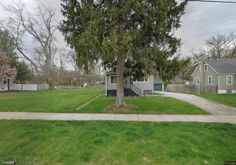
1948 Curtiss St Downers Grove, IL 60515
Estimated Value: $351,000 - $408,000
--
Bed
--
Bath
1,230
Sq Ft
$307/Sq Ft
Est. Value
About This Home
This home is located at 1948 Curtiss St, Downers Grove, IL 60515 and is currently estimated at $378,099, approximately $307 per square foot. 1948 Curtiss St is a home located in DuPage County with nearby schools including Henry Puffer School, Herrick Middle School, and Downer Grove North High School.
Ownership History
Date
Name
Owned For
Owner Type
Purchase Details
Closed on
May 20, 1998
Sold by
Slager John P and Slager Land Trust
Bought by
Harrington William R and Harrington Lynn
Current Estimated Value
Home Financials for this Owner
Home Financials are based on the most recent Mortgage that was taken out on this home.
Original Mortgage
$133,078
Outstanding Balance
$26,388
Interest Rate
7.27%
Mortgage Type
FHA
Estimated Equity
$351,711
Purchase Details
Closed on
Mar 15, 1995
Sold by
Slager John P and Slager Robbie J
Bought by
Slager John P and The Slager Land Trust
Create a Home Valuation Report for This Property
The Home Valuation Report is an in-depth analysis detailing your home's value as well as a comparison with similar homes in the area
Home Values in the Area
Average Home Value in this Area
Purchase History
| Date | Buyer | Sale Price | Title Company |
|---|---|---|---|
| Harrington William R | $135,000 | -- | |
| Slager John P | -- | -- |
Source: Public Records
Mortgage History
| Date | Status | Borrower | Loan Amount |
|---|---|---|---|
| Open | Harrington William R | $133,078 |
Source: Public Records
Tax History Compared to Growth
Tax History
| Year | Tax Paid | Tax Assessment Tax Assessment Total Assessment is a certain percentage of the fair market value that is determined by local assessors to be the total taxable value of land and additions on the property. | Land | Improvement |
|---|---|---|---|---|
| 2024 | $5,979 | $112,550 | $58,817 | $53,733 |
| 2023 | $5,642 | $102,720 | $53,680 | $49,040 |
| 2022 | $5,404 | $97,820 | $51,120 | $46,700 |
| 2021 | $4,921 | $94,120 | $49,190 | $44,930 |
| 2020 | $4,839 | $92,430 | $48,310 | $44,120 |
| 2019 | $4,670 | $88,430 | $46,220 | $42,210 |
| 2018 | $4,412 | $82,770 | $43,260 | $39,510 |
| 2017 | $4,287 | $79,980 | $41,800 | $38,180 |
| 2016 | $4,239 | $77,090 | $40,290 | $36,800 |
| 2015 | $4,188 | $72,590 | $37,940 | $34,650 |
| 2014 | $4,145 | $69,970 | $36,570 | $33,400 |
| 2013 | $4,092 | $70,140 | $36,660 | $33,480 |
Source: Public Records
Map
Nearby Homes
- 4947 Stonewall Ave
- 2160 Howard Ave
- 4940 Cornell Ave
- 5431 Ashbrook Place Unit 8
- 5509 Aspen Ave Unit 6
- 5454 Lee Ave
- 5434 Ashbrook Place
- 4939 Lee Ave
- 2335 Old George Way Unit 2335
- 1903 Maple Ave
- 5538 Durand Dr
- 4848 Francisco Ave
- 5622 Belmont Rd
- 4601 Wilson Ave
- 5616 Durand Dr Unit 6D
- 5617 Durand Dr Unit 9A
- 4512 Wilson Ave
- 5727 Woodward Ave
- 4508 Stonewall Ave
- 5760 Woodward Ave
- 1950 Curtiss St
- 1946 Curtiss St
- 1952 Curtiss St
- 1954 Curtiss St
- 1951 Curtiss St
- 1949 Curtiss St
- 1947 Curtiss St
- 1942 Curtiss St
- 1953 Curtiss St
- 1945 Curtiss St
- 1944 Curtiss St
- 1958 Curtiss St
- 1940 Curtiss St
- 1955 Curtiss St
- 1957 Curtiss St
- 1938 Curtiss St
- 1960 Curtiss St
- 1941 Curtiss St
- 1959 Curtiss St
- 1936 Curtiss St