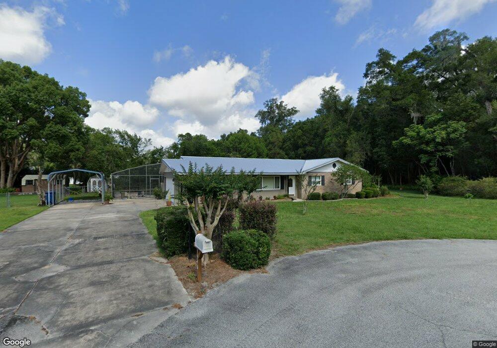
1948 Floyd Ave Deland, FL 32720
North DeLand NeighborhoodEstimated Value: $335,182 - $384,000
3
Beds
3
Baths
1,614
Sq Ft
$223/Sq Ft
Est. Value
About This Home
This home is located at 1948 Floyd Ave, Deland, FL 32720 and is currently estimated at $360,546, approximately $223 per square foot. 1948 Floyd Ave is a home located in Volusia County with nearby schools including Citrus Grove Elementary, Deland High School, and Southwestern Middle School.
Ownership History
Date
Name
Owned For
Owner Type
Purchase Details
Closed on
Mar 3, 2021
Sold by
Kronk Robert H
Bought by
Shepek Todd Allen and Shepek Julia Siri
Current Estimated Value
Purchase Details
Closed on
Jun 6, 2005
Sold by
Arnold Lynne Mitchell and Mitchell Raymond Oneal
Bought by
Kronk Robert H
Purchase Details
Closed on
Mar 15, 1973
Bought by
Kronk Robert H
Create a Home Valuation Report for This Property
The Home Valuation Report is an in-depth analysis detailing your home's value as well as a comparison with similar homes in the area
Home Values in the Area
Average Home Value in this Area
Purchase History
| Date | Buyer | Sale Price | Title Company |
|---|---|---|---|
| Shepek Todd Allen | $260,000 | Volusia Title Services | |
| Kronk Robert H | -- | Attorney | |
| Kronk Robert H | $43,000 | -- |
Source: Public Records
Tax History Compared to Growth
Tax History
| Year | Tax Paid | Tax Assessment Tax Assessment Total Assessment is a certain percentage of the fair market value that is determined by local assessors to be the total taxable value of land and additions on the property. | Land | Improvement |
|---|---|---|---|---|
| 2025 | $3,552 | $231,590 | -- | -- |
| 2024 | $3,552 | $225,064 | -- | -- |
| 2023 | $3,552 | $218,509 | $0 | $0 |
| 2022 | $3,472 | $212,145 | $42,055 | $170,090 |
| 2021 | $1,776 | $114,325 | $0 | $0 |
| 2020 | $1,744 | $112,747 | $0 | $0 |
| 2019 | $1,780 | $110,212 | $0 | $0 |
| 2018 | $1,756 | $108,157 | $0 | $0 |
| 2017 | $1,738 | $105,932 | $0 | $0 |
| 2016 | $1,656 | $103,753 | $0 | $0 |
| 2015 | $1,680 | $103,032 | $0 | $0 |
| 2014 | $1,657 | $102,214 | $0 | $0 |
Source: Public Records
Map
Nearby Homes
- 2172 N Spring Garden Ave
- 975 Rolling Acres Dr
- 1110 Mercers Fernery Rd
- 753 Glenwood Rd
- 1130 Glenwood Trail
- 1149 Glenwood Trail
- 1937 N Spring Garden Ave
- 1555 Mercers Fernery Rd
- 2285 Wilmhurst Rd
- 2541 Parkway Dr
- 887 Asterfield Ln
- 1105 Burgoyne Rd
- 903 Honey Petal Ln
- 2680 Concord Rd
- 897 Honey Petal Ln
- 882 Asterfield Ln
- 1075 Burgoyne Rd
- 865 Asterfield Ln
- 0 Oak Valley Dr
- 1221 Bramley Ln
- 1943 Floyd Ave
- 1947 Wallace Ct
- 2301 Glenwood Plantation Rd
- 1939 Wallace Ct
- 1947 Floyd Ave
- 1105 Rolling Acres Dr
- 1935 Floyd Ave
- 1135 Rolling Acres Dr
- 1950 Wallace Ct
- 1940 Wallace Ct
- 1925 Floyd Ave
- 2315 Glenwood Plantation Rd
- 2250 N Spring Garden Ave
- 1175 Rolling Acres Dr
- 1095 Rolling Acres Dr
- 1102 Rolling Acres Dr
- 1110 Rolling Acres Dr
- 1955 Sunset Ct
- 1945 Sunset Ct
- 1140 Rolling Acres Dr