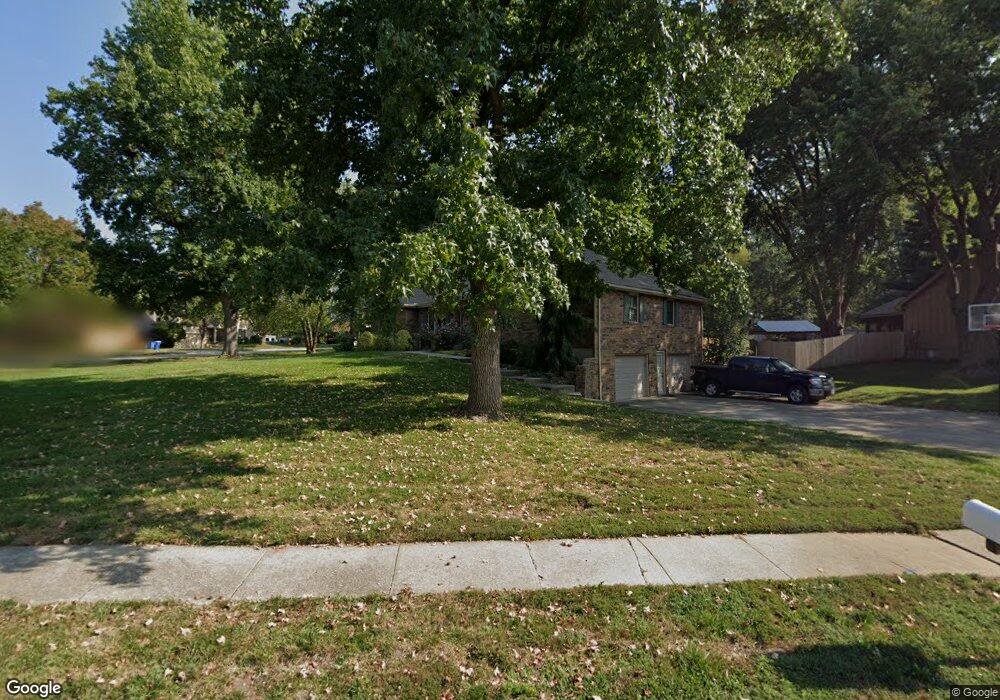
1948 Larkspur Dr Liberty, MO 64068
Estimated Value: $359,796 - $394,000
3
Beds
2
Baths
1,977
Sq Ft
$193/Sq Ft
Est. Value
About This Home
This home is located at 1948 Larkspur Dr, Liberty, MO 64068 and is currently estimated at $382,199, approximately $193 per square foot. 1948 Larkspur Dr is a home located in Clay County with nearby schools including Alexander Doniphan Elementary School, Discovery Middle School, and Liberty High School.
Ownership History
Date
Name
Owned For
Owner Type
Purchase Details
Closed on
Jul 24, 2000
Sold by
Wilson Rebecca L
Bought by
Carl Kent J and Carl Jenise E
Current Estimated Value
Home Financials for this Owner
Home Financials are based on the most recent Mortgage that was taken out on this home.
Original Mortgage
$124,000
Outstanding Balance
$44,371
Interest Rate
8.23%
Estimated Equity
$337,828
Purchase Details
Closed on
Feb 25, 2000
Sold by
Wilson Jeffrey S
Bought by
Wilson Rebecca L
Purchase Details
Closed on
Jan 7, 1999
Sold by
Jones Francis Edwin and Jones Patricia L
Bought by
Wilson Jeffrey S and Wilson Rebecca L
Home Financials for this Owner
Home Financials are based on the most recent Mortgage that was taken out on this home.
Original Mortgage
$130,500
Interest Rate
6.74%
Create a Home Valuation Report for This Property
The Home Valuation Report is an in-depth analysis detailing your home's value as well as a comparison with similar homes in the area
Home Values in the Area
Average Home Value in this Area
Purchase History
| Date | Buyer | Sale Price | Title Company |
|---|---|---|---|
| Carl Kent J | -- | Stewart Title | |
| Wilson Rebecca L | -- | -- | |
| Wilson Jeffrey S | -- | -- |
Source: Public Records
Mortgage History
| Date | Status | Borrower | Loan Amount |
|---|---|---|---|
| Open | Carl Kent J | $124,000 | |
| Previous Owner | Wilson Jeffrey S | $130,500 |
Source: Public Records
Tax History Compared to Growth
Tax History
| Year | Tax Paid | Tax Assessment Tax Assessment Total Assessment is a certain percentage of the fair market value that is determined by local assessors to be the total taxable value of land and additions on the property. | Land | Improvement |
|---|---|---|---|---|
| 2025 | $3,848 | $57,480 | -- | -- |
| 2024 | $3,848 | $50,030 | -- | -- |
| 2023 | $3,913 | $50,030 | $0 | $0 |
| 2022 | $3,582 | $45,220 | $0 | $0 |
| 2021 | $3,554 | $45,220 | $7,220 | $38,000 |
| 2020 | $3,397 | $40,580 | $0 | $0 |
| 2019 | $3,396 | $40,580 | $0 | $0 |
| 2018 | $3,022 | $35,450 | $0 | $0 |
| 2017 | $2,897 | $35,450 | $4,180 | $31,270 |
| 2016 | $2,897 | $34,310 | $4,180 | $30,130 |
| 2015 | $2,898 | $34,310 | $4,180 | $30,130 |
| 2014 | $2,823 | $33,150 | $4,750 | $28,400 |
Source: Public Records
Map
Nearby Homes
- 1507 Amesbury Ave
- 1323 Amesbury Ave
- 509 Belmont St
- 1733 Welleslay Ln
- 415 Monterey Ave
- 420 Belmont St
- 1124 Amesbury Ave
- 1218 Canterbury Ln
- 1537 Canterbury Ln
- 918 Amesbury Ave
- 2116 Winding Woods Dr
- 862 Amesbury Ave
- Lot 2 Bent Oaks Dr
- 1327 Easton Ct
- Lot 2A Oak Crest Dr
- 1304 Wellington Way
- 1331 Park Ln
- 716 Bristol Ct
- 1317 Park Ln
- 1205 Blackberry Dr