1948 Myers Rd New Carlisle, OH 45344
Estimated Value: $366,000 - $503,709
5
Beds
2
Baths
3,115
Sq Ft
$140/Sq Ft
Est. Value
About This Home
This home is located at 1948 Myers Rd, New Carlisle, OH 45344 and is currently estimated at $435,177, approximately $139 per square foot. 1948 Myers Rd is a home located in Clark County with nearby schools including Northwestern Elementary School and Northwestern Junior/Senior High School.
Ownership History
Date
Name
Owned For
Owner Type
Purchase Details
Closed on
Oct 7, 2020
Sold by
Baker Paul E and Baker Sandra D
Bought by
Baker Jeremy L and Baker Emily R
Current Estimated Value
Home Financials for this Owner
Home Financials are based on the most recent Mortgage that was taken out on this home.
Original Mortgage
$271,900
Outstanding Balance
$195,424
Interest Rate
2.9%
Mortgage Type
New Conventional
Estimated Equity
$239,753
Purchase Details
Closed on
Aug 12, 2014
Sold by
Wray John H and Wray Laura A
Bought by
Baker Paul E and Baker Sandra D
Home Financials for this Owner
Home Financials are based on the most recent Mortgage that was taken out on this home.
Original Mortgage
$540,000
Interest Rate
4.1%
Mortgage Type
Purchase Money Mortgage
Purchase Details
Closed on
Jul 1, 1985
Sold by
Bellem Raymond D and Bellem Annemarie B
Bought by
Wray John H and Wray Laura A
Create a Home Valuation Report for This Property
The Home Valuation Report is an in-depth analysis detailing your home's value as well as a comparison with similar homes in the area
Home Values in the Area
Average Home Value in this Area
Purchase History
| Date | Buyer | Sale Price | Title Company |
|---|---|---|---|
| Baker Jeremy L | $271,900 | Legal Professional Association | |
| Baker Paul E | $221,000 | Attorney | |
| Wray John H | $110,000 | -- |
Source: Public Records
Mortgage History
| Date | Status | Borrower | Loan Amount |
|---|---|---|---|
| Open | Baker Jeremy L | $271,900 | |
| Previous Owner | Baker Paul E | $540,000 |
Source: Public Records
Tax History Compared to Growth
Tax History
| Year | Tax Paid | Tax Assessment Tax Assessment Total Assessment is a certain percentage of the fair market value that is determined by local assessors to be the total taxable value of land and additions on the property. | Land | Improvement |
|---|---|---|---|---|
| 2024 | $4,009 | $141,130 | $83,000 | $58,130 |
| 2023 | $6,170 | $141,130 | $83,000 | $58,130 |
| 2022 | $4,117 | $141,130 | $83,000 | $58,130 |
| 2021 | $3,899 | $113,240 | $64,350 | $48,890 |
| 2020 | $3,863 | $113,240 | $64,350 | $48,890 |
| 2019 | $3,900 | $113,240 | $64,350 | $48,890 |
| 2018 | $3,872 | $99,420 | $57,410 | $42,010 |
| 2017 | $3,874 | $122,409 | $57,414 | $64,995 |
| 2016 | $3,798 | $122,409 | $57,414 | $64,995 |
| 2015 | $3,912 | $99,425 | $51,433 | $47,992 |
| 2014 | $3,910 | $99,425 | $51,433 | $47,992 |
| 2013 | $3,884 | $99,425 | $51,433 | $47,992 |
Source: Public Records
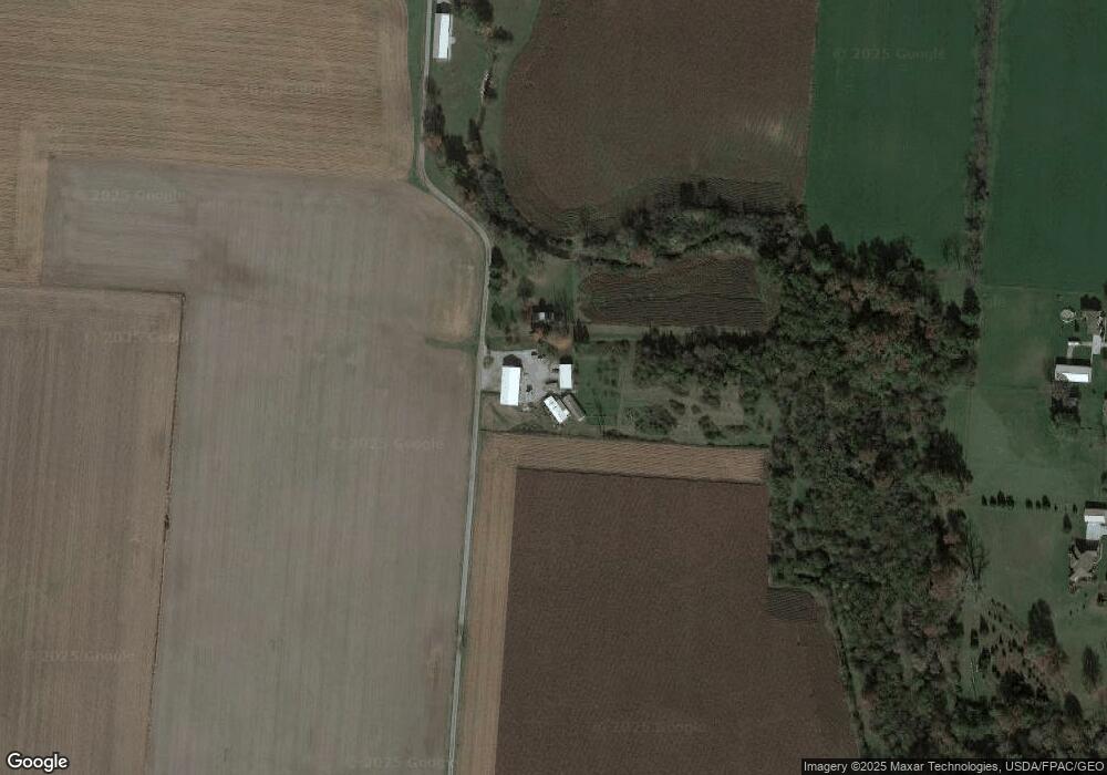
Map
Nearby Homes
- 6439 Greenridge Ave
- 2430 Myers Rd
- 6105 New Carlisle Pike
- 1 Folk Ream Rd
- 00 Folk Ream Rd
- 3172 Folk Ream Rd
- 3390 Spence Rd
- 5171 New Carlisle Pike
- 4904 Alpha Rd
- 6580 Shaler Dr
- 96 Eastwood Dr
- 3888 Folk Ream Rd
- 1255 Bischoff Rd
- 4 E Main St
- 3771 Spence Rd
- 245 Gordon Rd
- 276 Hampton Trail
- 46 N Main St
- 268 Hampton Trail
- 2130 Myers Rd
- 1875 Folk Ream Rd
- 2190 Myers Rd
- 6482 Winding Tree Dr
- 6481 Winding Tree Dr
- 2000 Folk Ream Rd
- 6466 Overland Dr
- 6465 Winding Tree Dr
- 1968 Folk Ream Rd
- 1717 Folk Ream Rd
- 2155 Folk Ream Rd
- 1950 Folk Ream Rd
- 1661 Folk Ream Rd
- 6460 Overland Dr
- 6457 Overland Dr
- 6459 Winding Tree Dr
- 1633 Folk Ream Rd
- 1701 Bending Tree Dr
- 1667 Bending Tree Dr
- 1688 Bending Tree Dr