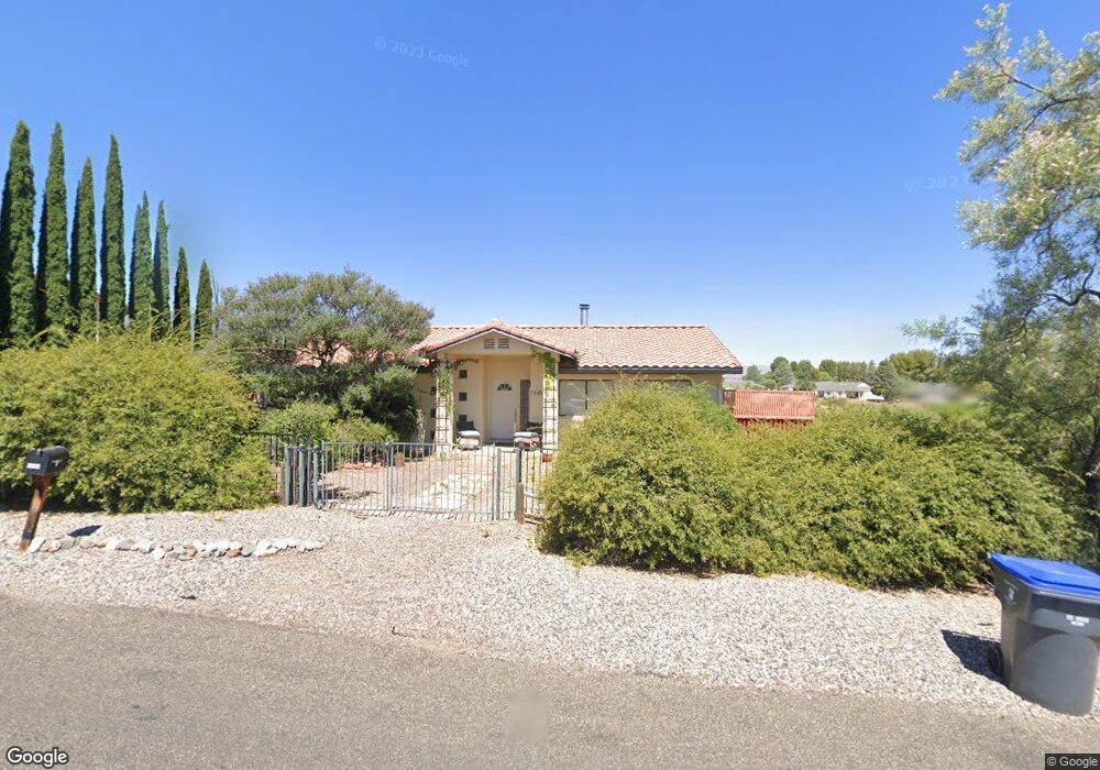
1948 S Cayuse Trail Cottonwood, AZ 86326
Estimated Value: $421,980 - $609,000
3
Beds
--
Bath
2,185
Sq Ft
$237/Sq Ft
Est. Value
About This Home
This home is located at 1948 S Cayuse Trail, Cottonwood, AZ 86326 and is currently estimated at $517,245, approximately $236 per square foot. 1948 S Cayuse Trail is a home located in Yavapai County with nearby schools including Dr Daniel Bright Elementary School, Cottonwood Elementary School, and Cottonwood Community School.
Ownership History
Date
Name
Owned For
Owner Type
Purchase Details
Closed on
Sep 18, 1996
Sold by
Henderson Clyde E and Henderson Lois E
Bought by
Lapides Kenneth and Lapides Birgitta
Current Estimated Value
Home Financials for this Owner
Home Financials are based on the most recent Mortgage that was taken out on this home.
Original Mortgage
$73,500
Outstanding Balance
$6,367
Interest Rate
8.3%
Mortgage Type
New Conventional
Estimated Equity
$510,878
Purchase Details
Closed on
Feb 17, 1995
Sold by
Mcgill Enterprises
Bought by
Henderson Clyde E and Henderson Lois E
Home Financials for this Owner
Home Financials are based on the most recent Mortgage that was taken out on this home.
Original Mortgage
$11,000
Interest Rate
9.21%
Mortgage Type
Seller Take Back
Create a Home Valuation Report for This Property
The Home Valuation Report is an in-depth analysis detailing your home's value as well as a comparison with similar homes in the area
Home Values in the Area
Average Home Value in this Area
Purchase History
| Date | Buyer | Sale Price | Title Company |
|---|---|---|---|
| Lapides Kenneth | $154,000 | First American Title Ins | |
| Henderson Clyde E | $17,000 | First American Title |
Source: Public Records
Mortgage History
| Date | Status | Borrower | Loan Amount |
|---|---|---|---|
| Open | Lapides Kenneth | $73,500 | |
| Previous Owner | Henderson Clyde E | $11,000 |
Source: Public Records
Tax History Compared to Growth
Tax History
| Year | Tax Paid | Tax Assessment Tax Assessment Total Assessment is a certain percentage of the fair market value that is determined by local assessors to be the total taxable value of land and additions on the property. | Land | Improvement |
|---|---|---|---|---|
| 2026 | $2,000 | $42,687 | -- | -- |
| 2024 | $1,921 | $42,354 | -- | -- |
| 2023 | $1,921 | $34,165 | $3,354 | $30,811 |
| 2022 | $1,889 | $27,935 | $2,854 | $25,081 |
| 2021 | $1,973 | $26,292 | $2,985 | $23,307 |
| 2020 | $1,936 | $0 | $0 | $0 |
| 2019 | $1,903 | $0 | $0 | $0 |
| 2018 | $1,825 | $0 | $0 | $0 |
| 2017 | $1,745 | $0 | $0 | $0 |
| 2016 | $1,701 | $0 | $0 | $0 |
| 2015 | $1,683 | $0 | $0 | $0 |
| 2014 | $1,545 | $0 | $0 | $0 |
Source: Public Records
Map
Nearby Homes
- 2042 S Puma Cir
- 4027 E Sabino Trail
- 4197 E Sabino Trail
- 3732 E Comanche Dr
- 4000 E Mustang Dr
- 3461 Tower Dr
- 4506 E Silver Leaf Trail
- 2234 S Eastern Dr
- 4547 E Diablo Dr
- 4593 E Silver Leaf Trail
- 2306 S Eastern Dr
- 4586 E Diablo Dr
- 2319 S Eastern Dr Unit 670
- 3501 E Hogan Cir
- 2320 S Eastern Dr Unit 669
- 2366 Eastern Dr
- 2362 S Lariat Cir
- 3556 Grand View Dr
- 0000 Caitlin Ln
- 4253 E Mission Ln