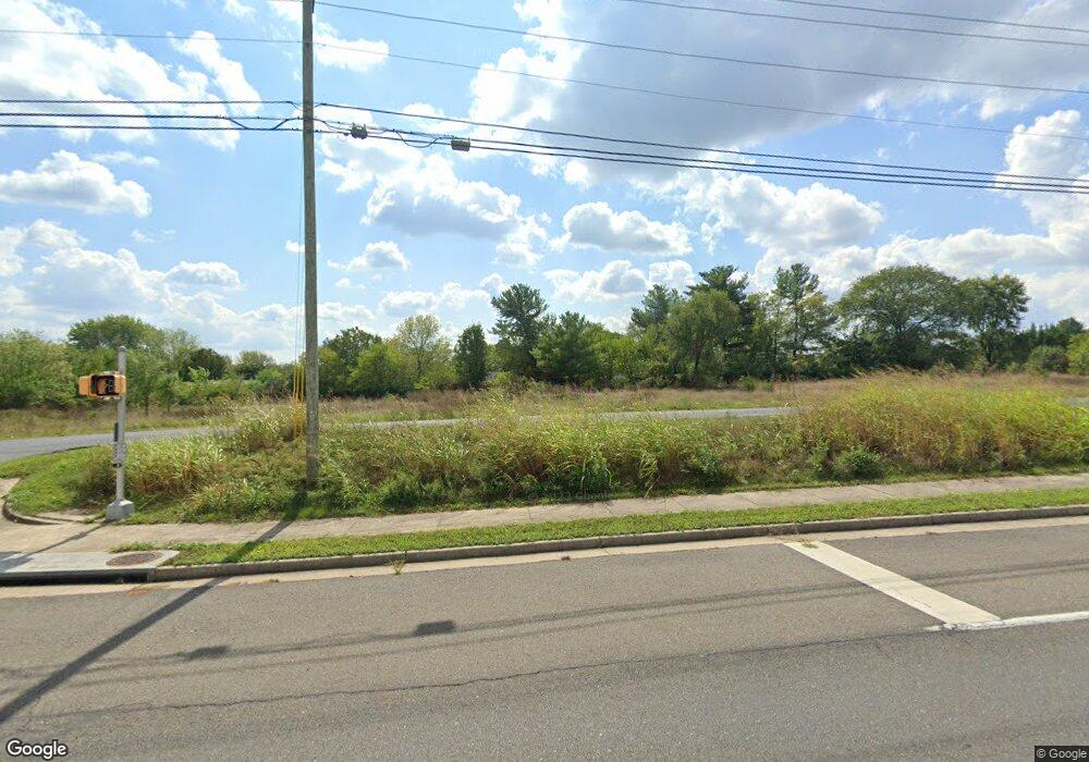
1948 Senseny Rd Winchester, VA 22602
Estimated Value: $474,000 - $522,000
--
Bed
1
Bath
35,284
Sq Ft
$14/Sq Ft
Est. Value
About This Home
This home is located at 1948 Senseny Rd, Winchester, VA 22602 and is currently estimated at $497,667, approximately $14 per square foot. 1948 Senseny Rd is a home located in Frederick County with nearby schools including Admiral Richard E. Byrd Middle School, Millbrook High School, and Sharon's Centre.
Ownership History
Date
Name
Owned For
Owner Type
Purchase Details
Closed on
Sep 29, 2010
Sold by
Fountain Land Holdings Llc
Bought by
City Natl Bank Of W Va
Current Estimated Value
Purchase Details
Closed on
May 14, 2009
Sold by
Anderson Franklin B
Bought by
Fountain Land Holdings L L C
Home Financials for this Owner
Home Financials are based on the most recent Mortgage that was taken out on this home.
Original Mortgage
$200,000
Interest Rate
4.87%
Mortgage Type
Purchase Money Mortgage
Create a Home Valuation Report for This Property
The Home Valuation Report is an in-depth analysis detailing your home's value as well as a comparison with similar homes in the area
Home Values in the Area
Average Home Value in this Area
Purchase History
| Date | Buyer | Sale Price | Title Company |
|---|---|---|---|
| City Natl Bank Of W Va | $225,000 | -- | |
| Fountain Land Holdings L L C | $270,000 | -- |
Source: Public Records
Mortgage History
| Date | Status | Borrower | Loan Amount |
|---|---|---|---|
| Previous Owner | Fountain Land Holdings L L C | $200,000 |
Source: Public Records
Tax History Compared to Growth
Tax History
| Year | Tax Paid | Tax Assessment Tax Assessment Total Assessment is a certain percentage of the fair market value that is determined by local assessors to be the total taxable value of land and additions on the property. | Land | Improvement |
|---|---|---|---|---|
| 2025 | $1,885 | $392,700 | $392,700 | $0 |
| 2024 | $871 | $341,500 | $341,500 | $0 |
| 2023 | $1,742 | $341,500 | $341,500 | $0 |
| 2022 | $1,722 | $282,300 | $282,300 | $0 |
| 2021 | $1,722 | $282,300 | $282,300 | $0 |
| 2020 | $1,722 | $282,300 | $282,300 | $0 |
| 2019 | $1,722 | $282,300 | $282,300 | $0 |
| 2018 | $1,722 | $282,300 | $282,300 | $0 |
| 2017 | $1,694 | $282,300 | $282,300 | $0 |
| 2016 | $1,694 | $282,300 | $282,300 | $0 |
| 2015 | $1,581 | $282,300 | $282,300 | $0 |
| 2014 | $1,253 | $282,300 | $282,300 | $0 |
Source: Public Records
Map
Nearby Homes
- 2003 Senseny Rd
- 0 Grocery Ave Unit VAFV2015654
- 140 Mccormick Cir Unit 403
- 151 Mccormick Cir Unit 203
- 151 Mccormick Cir Unit 201
- 111 Meadowview Ct
- 0 7 Building Lots In Shawneeland Unit VAFV2032844
- Carlisle Plan at Abrams Pointe
- Somerset Plan at Abrams Pointe
- Rockford Plan at Abrams Pointe
- Avalon Plan at Abrams Pointe
- 161 Williamson Rd
- Birmingham Plan at Abrams Pointe
- Drexel Plan at Abrams Pointe
- 111 Pawn Ct
- 101 Abrams Pointe Blvd
- Melody Plan at Abrams Pointe
- 128 Teaberry Dr
- 106 Foxglove Dr
- 114 Harold Ct
- 1968 Senseny Rd
- 111 Greenwood Ave
- 1930 Senseny Rd
- 113 Greenwood Ave
- 109 Greenwood Ave
- 1978 Senseny Rd
- 115 Greenwood Ave
- 107 Greenwood Ave
- 0 Seseny Rd Unit FV9836352
- 0 LOT 3 Senseny Rd
- 117 Greenwood Ave
- 1986 Senseny Rd
- 105 Greenwood Ave
- 1 Grocery Ave
- 1985 LOT 201G Senseny Rd
- 0 LOT 4 Senseny Rd
- 119 Greenwood Ave
- 1994 Senseny Rd
- 112 Greenwood Ave
- 1985 Senseny Rd