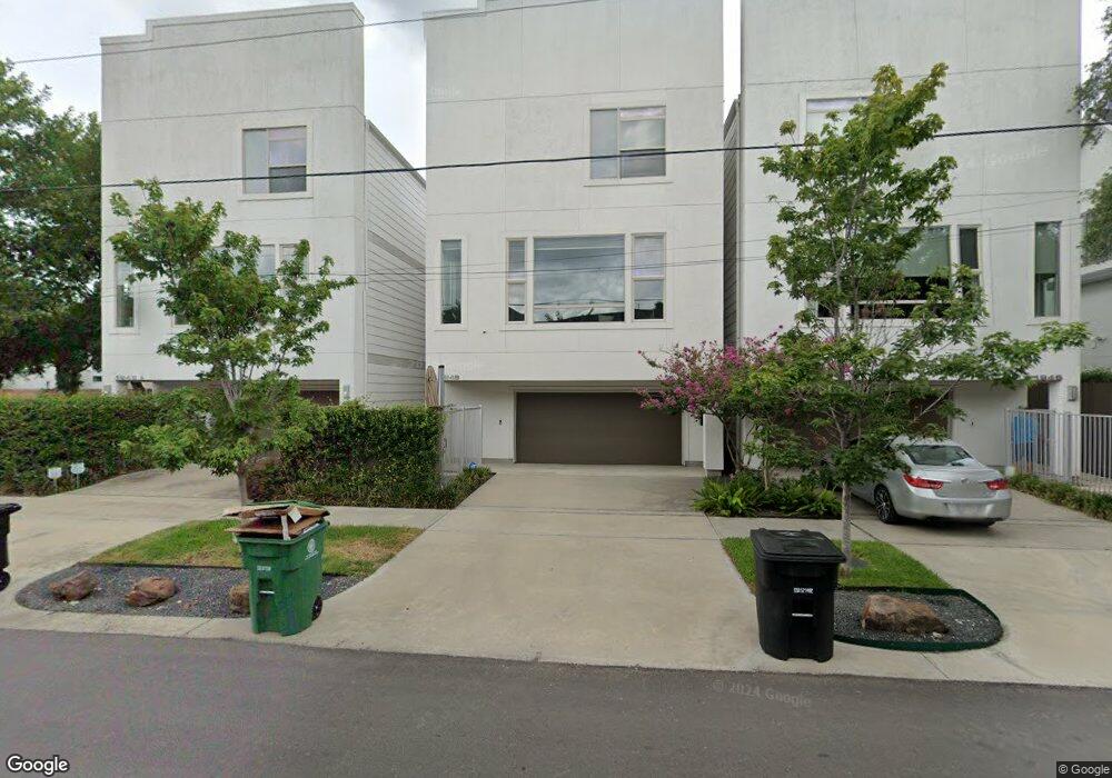
1948 Vermont St Unit A Houston, TX 77019
Montrose NeighborhoodEstimated Value: $593,282 - $658,000
3
Beds
4
Baths
2,370
Sq Ft
$266/Sq Ft
Est. Value
About This Home
This home is located at 1948 Vermont St Unit A, Houston, TX 77019 and is currently estimated at $629,321, approximately $265 per square foot. 1948 Vermont St Unit A is a home located in Harris County with nearby schools including Baker Montessori, Lanier Middle School, and Lamar High School.
Ownership History
Date
Name
Owned For
Owner Type
Purchase Details
Closed on
Nov 20, 2014
Sold by
Bercon Ltd
Bought by
Desai Nimish R and Hangawatte Udyogi A
Current Estimated Value
Home Financials for this Owner
Home Financials are based on the most recent Mortgage that was taken out on this home.
Original Mortgage
$417,000
Outstanding Balance
$321,078
Interest Rate
4.14%
Mortgage Type
New Conventional
Estimated Equity
$308,243
Create a Home Valuation Report for This Property
The Home Valuation Report is an in-depth analysis detailing your home's value as well as a comparison with similar homes in the area
Home Values in the Area
Average Home Value in this Area
Purchase History
| Date | Buyer | Sale Price | Title Company |
|---|---|---|---|
| Desai Nimish R | -- | Chicago Title |
Source: Public Records
Mortgage History
| Date | Status | Borrower | Loan Amount |
|---|---|---|---|
| Open | Desai Nimish R | $417,000 |
Source: Public Records
Tax History Compared to Growth
Tax History
| Year | Tax Paid | Tax Assessment Tax Assessment Total Assessment is a certain percentage of the fair market value that is determined by local assessors to be the total taxable value of land and additions on the property. | Land | Improvement |
|---|---|---|---|---|
| 2025 | $8,652 | $611,298 | $198,000 | $413,298 |
| 2024 | $8,652 | $567,771 | $198,000 | $369,771 |
| 2023 | $8,652 | $571,926 | $198,000 | $373,926 |
| 2022 | $11,351 | $515,534 | $198,000 | $317,534 |
| 2021 | $11,420 | $490,008 | $189,000 | $301,008 |
| 2020 | $11,866 | $490,008 | $189,000 | $301,008 |
| 2019 | $12,692 | $501,575 | $120,000 | $381,575 |
| 2018 | $10,546 | $533,229 | $120,000 | $413,229 |
| 2017 | $14,150 | $533,229 | $120,000 | $413,229 |
| 2016 | $14,150 | $533,229 | $120,000 | $413,229 |
| 2015 | -- | $533,229 | $120,000 | $413,229 |
| 2014 | -- | $0 | $0 | $0 |
Source: Public Records
Map
Nearby Homes
- 1906 Woodhead St
- 1902 Elmen St
- 1822 Morse St Unit A
- 2003 Morse St
- 1956 Vermont St
- 2011 Woodhead St
- 2026 Morse St
- 1810 Hazard St Unit A
- 1606 Woodhead St
- 2008 Hazard St
- 1705 Park St
- 2025 Park St
- 2103 Hazard St
- 1510 Morse St
- 1808 Ridgewood St
- 1909 Brun St Unit 17
- 1909 Brun St Unit 16
- 1712 Mcduffie St
- 1606 Hazard St
- 1718 Welch St Unit C
- 1948 Vermont St
- 1811 Morse St
- 1809 Morse St
- 1944 Vermont St
- 1807 Morse St
- 1807 Morse St Unit 1/2
- 1942 Vermont St
- 1901 Morse St
- 1816 Woodhead St
- 1805 Morse St Unit A
- 1805 Morse St Unit B
- 1940 Vermont St
- 1810 Woodhead St
- 1945 Vermont St
- 1945 Vermont St
- 1943 Vermont St
- 1822 Morse St Unit B
- 1822 Morse St
- 1808 Woodhead St
- 1905 Morse St