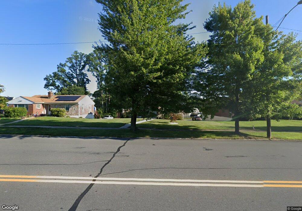
1948 W Union Blvd Bethlehem, PA 18018
West Bethlehem NeighborhoodEstimated Value: $235,000 - $332,460
2
Beds
2
Baths
1,056
Sq Ft
$281/Sq Ft
Est. Value
About This Home
This home is located at 1948 W Union Blvd, Bethlehem, PA 18018 and is currently estimated at $296,865, approximately $281 per square foot. 1948 W Union Blvd is a home located in Lehigh County with nearby schools including Clearview Elementary School, Nitschmann Middle School, and Liberty High School.
Ownership History
Date
Name
Owned For
Owner Type
Purchase Details
Closed on
Dec 6, 1996
Sold by
Wermuth Muriel
Bought by
Wermuth Wayne B
Current Estimated Value
Create a Home Valuation Report for This Property
The Home Valuation Report is an in-depth analysis detailing your home's value as well as a comparison with similar homes in the area
Home Values in the Area
Average Home Value in this Area
Purchase History
| Date | Buyer | Sale Price | Title Company |
|---|---|---|---|
| Wermuth Wayne B | -- | -- |
Source: Public Records
Tax History Compared to Growth
Tax History
| Year | Tax Paid | Tax Assessment Tax Assessment Total Assessment is a certain percentage of the fair market value that is determined by local assessors to be the total taxable value of land and additions on the property. | Land | Improvement |
|---|---|---|---|---|
| 2025 | $4,272 | $148,700 | $35,000 | $113,700 |
| 2024 | $4,223 | $148,700 | $35,000 | $113,700 |
| 2023 | $4,186 | $148,700 | $35,000 | $113,700 |
| 2022 | $4,254 | $148,700 | $113,700 | $35,000 |
| 2021 | $4,235 | $148,700 | $35,000 | $113,700 |
| 2020 | $4,100 | $148,700 | $35,000 | $113,700 |
| 2019 | $4,129 | $148,700 | $35,000 | $113,700 |
| 2018 | $4,049 | $148,700 | $35,000 | $113,700 |
| 2017 | $3,869 | $148,700 | $35,000 | $113,700 |
| 2016 | -- | $148,700 | $35,000 | $113,700 |
| 2015 | -- | $147,800 | $35,000 | $112,800 |
| 2014 | -- | $147,800 | $35,000 | $112,800 |
Source: Public Records
Map
Nearby Homes
- 922 Beverly Ave
- 1198 Pennsylvania Ave
- 1826 Eaton Ave
- 1853 Richmond Ave
- 1209 Manchester Rd
- 1768 W Union Blvd
- 650 Highland Ave
- 2130 Glendale Ave
- 820 Club Ave Unit 822
- 1541 Stanford Rd
- 328 Grandview Blvd
- 1102 N Van Buren St
- 1122 N Van Buren St
- 1509 W Union Blvd
- 2180 Pinehurst Rd
- 1512 W Broad St
- 1402 Uelen Ct
- 1257 Troxell St
- 2030 Hanover Ave Unit 2032
- 1559 Kelchner Rd
- 1942 W Union Blvd
- 1954 W Union Blvd
- 1940 W Union Blvd Unit 1946
- 1936 W Union Blvd
- 1962 W Union Blvd
- 1953 Eaton Ave
- 1971 Eaton Ave
- 1947 Eaton Ave
- 1930 W Union Blvd
- 1949 W Union Blvd
- 1955 W Union Blvd
- 1977 Eaton Ave
- 1943 W Union Blvd
- 1941 Eaton Ave
- 1961 W Union Blvd
- 1935 W Union Blvd
- 1924 W Union Blvd
- 1991 Eaton Ave
- 1935 Eaton Ave
- 1967 W Union Blvd