19485 State Route 190 Delphos, OH 45833
Estimated Value: $178,000 - $327,000
3
Beds
2
Baths
1,607
Sq Ft
$170/Sq Ft
Est. Value
About This Home
This home is located at 19485 State Route 190, Delphos, OH 45833 and is currently estimated at $273,807, approximately $170 per square foot. 19485 State Route 190 is a home located in Putnam County with nearby schools including Fort Jennings Elementary School, Fort Jennings High School, and Delphos St. John's High School.
Ownership History
Date
Name
Owned For
Owner Type
Purchase Details
Closed on
Dec 1, 2020
Sold by
Bruskotter Dennis L and Bruskotter Shirley A
Bought by
Louth Bradley T and Louth Erica A
Current Estimated Value
Home Financials for this Owner
Home Financials are based on the most recent Mortgage that was taken out on this home.
Original Mortgage
$204,250
Outstanding Balance
$181,843
Interest Rate
2.7%
Mortgage Type
New Conventional
Estimated Equity
$91,964
Purchase Details
Closed on
Jan 9, 2007
Sold by
Bruskotter Leonard P and Bruskotter Leona C
Bought by
Bruskotter Dennis L and Bruskotter Dale P
Purchase Details
Closed on
May 2, 2006
Sold by
Bruskotter Leonard P and Bruskotter Leona C
Bought by
Bruskotter Leonard P and Bruskotter Leona C
Create a Home Valuation Report for This Property
The Home Valuation Report is an in-depth analysis detailing your home's value as well as a comparison with similar homes in the area
Home Values in the Area
Average Home Value in this Area
Purchase History
| Date | Buyer | Sale Price | Title Company |
|---|---|---|---|
| Louth Bradley T | $215,000 | None Available | |
| Bruskotter Dennis L | -- | None Available | |
| Bruskotter Leonard P | -- | None Available |
Source: Public Records
Mortgage History
| Date | Status | Borrower | Loan Amount |
|---|---|---|---|
| Open | Louth Bradley T | $204,250 |
Source: Public Records
Tax History Compared to Growth
Tax History
| Year | Tax Paid | Tax Assessment Tax Assessment Total Assessment is a certain percentage of the fair market value that is determined by local assessors to be the total taxable value of land and additions on the property. | Land | Improvement |
|---|---|---|---|---|
| 2024 | $2,549 | $85,820 | $9,840 | $75,980 |
| 2023 | $2,635 | $66,610 | $7,130 | $59,480 |
| 2022 | $2,276 | $66,609 | $7,130 | $59,479 |
| 2021 | $2,285 | $66,610 | $7,130 | $59,480 |
| 2020 | $2,292 | $49,700 | $6,180 | $43,520 |
| 2019 | $1,940 | $58,230 | $7,130 | $51,100 |
| 2018 | $1,917 | $58,230 | $7,130 | $51,100 |
| 2017 | $1,647 | $58,230 | $7,130 | $51,100 |
| 2016 | $1,647 | $49,700 | $6,180 | $43,520 |
| 2015 | $1,808 | $49,700 | $6,180 | $43,520 |
| 2014 | $1,828 | $49,700 | $6,180 | $43,520 |
| 2013 | $1,865 | $49,700 | $6,180 | $43,520 |
Source: Public Records
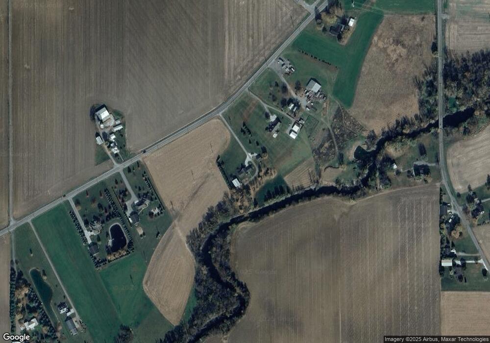
Map
Nearby Homes
- 7510 State Route 66
- 0 Road 24-Q
- 1220 Rose Anna Dr
- 1303 Carolyn Dr
- 0 Heritage Cir Unit 6112034
- 0 Heritage Cir Unit 303239
- 17736 Road 20p
- 320 Auglaize St
- 810 N Franklin St
- 650 E 6th St
- 704 N Franklin St
- 628 N Pierce St
- 914 E 3rd St
- 610 N Washington St
- 903 E 3rd St
- 821 E 3rd St
- 405 N Franklin St
- 633 E 2nd St
- 210 E 3rd St
- 604 W 6th St
- 19461 State Route 190
- 19435 State Route 190
- 19559 State Route 190
- 19560 State Route 190
- 19599 State Route 190
- 19383 State Route 190
- 19658 Road 23t
- 19714 Road 23-T
- 19714 Road 23t
- 19715 Road 23t
- 19629 State Route 190
- 19768 Road 23t
- 19649 State Route 190
- 19313 State Route 190
- 19453 Road 23t
- 19433 Road 23t
- 19280 State Route 190
- 19839 Road 23t
- 19298 St Route
- 19260 State Route 190