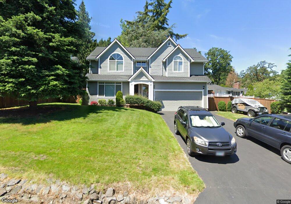
19489 View Dr West Linn, OR 97068
Robinwood NeighborhoodEstimated Value: $683,964 - $800,000
3
Beds
1
Bath
2,115
Sq Ft
$343/Sq Ft
Est. Value
About This Home
This home is located at 19489 View Dr, West Linn, OR 97068 and is currently estimated at $725,241, approximately $342 per square foot. 19489 View Dr is a home located in Clackamas County with nearby schools including Cedaroak Park Primary School, West Linn High School, and Harmony Academy.
Ownership History
Date
Name
Owned For
Owner Type
Purchase Details
Closed on
May 25, 2004
Sold by
Cypress Properties Ltd
Bought by
Gerbasi Edward and Gerbasi Janet
Current Estimated Value
Home Financials for this Owner
Home Financials are based on the most recent Mortgage that was taken out on this home.
Original Mortgage
$170,000
Interest Rate
5.86%
Mortgage Type
Construction
Purchase Details
Closed on
Sep 30, 2003
Sold by
Hinchcliff Leo Michael
Bought by
Cypress Properties Ltd
Create a Home Valuation Report for This Property
The Home Valuation Report is an in-depth analysis detailing your home's value as well as a comparison with similar homes in the area
Home Values in the Area
Average Home Value in this Area
Purchase History
| Date | Buyer | Sale Price | Title Company |
|---|---|---|---|
| Gerbasi Edward | $320,000 | First American | |
| Cypress Properties Ltd | $160,000 | First American |
Source: Public Records
Mortgage History
| Date | Status | Borrower | Loan Amount |
|---|---|---|---|
| Previous Owner | Gerbasi Edward | $170,000 |
Source: Public Records
Tax History
| Year | Tax Paid | Tax Assessment Tax Assessment Total Assessment is a certain percentage of the fair market value that is determined by local assessors to be the total taxable value of land and additions on the property. | Land | Improvement |
|---|---|---|---|---|
| 2025 | $7,435 | $385,809 | -- | -- |
| 2024 | $7,157 | $374,572 | -- | -- |
| 2023 | $7,157 | $363,663 | $0 | $0 |
| 2022 | $6,755 | $353,071 | $0 | $0 |
| 2021 | $6,412 | $342,788 | $0 | $0 |
| 2020 | $6,456 | $332,804 | $0 | $0 |
| 2019 | $6,157 | $323,111 | $0 | $0 |
| 2018 | $5,882 | $313,700 | $0 | $0 |
| 2017 | $5,653 | $304,563 | $0 | $0 |
| 2016 | $5,434 | $295,692 | $0 | $0 |
Source: Public Records
Map
Nearby Homes
- 18711 Willamette Dr
- 3262 Fairview Way
- 2041 Marylhurst Dr
- 3784 Ridgewood Way
- 3780 Ridgewood Way
- 2665 Hillcrest Dr
- 4520 Calaroga Dr
- 4584 Calaroga Dr
- 3910 Calaroga Cir
- 17833 Marylcreek Dr
- 19661 Sun Cir
- 3893 Cedaroak Dr
- 2480 Marylshire Ln
- 19770 Wildwood Dr
- 3446 Fernvilla Dr
- 4153 Calaroga Cir
- 18038 Upper Midhill Dr
- 18032 Upper Midhill Dr
- 18418 Old River Landing
- 17697 Hillside Dr
Your Personal Tour Guide
Ask me questions while you tour the home.