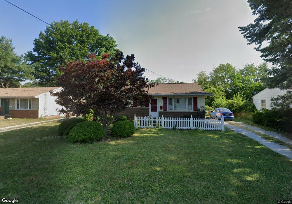
1949 36th St NE Canton, OH 44705
Estimated Value: $111,000 - $159,000
3
Beds
1
Bath
988
Sq Ft
$141/Sq Ft
Est. Value
About This Home
This home is located at 1949 36th St NE, Canton, OH 44705 and is currently estimated at $138,876, approximately $140 per square foot. 1949 36th St NE is a home located in Stark County with nearby schools including Ransom H. Barr Elementary School, Glenwood Intermediate School, and GlenOak High School.
Ownership History
Date
Name
Owned For
Owner Type
Purchase Details
Closed on
Aug 10, 2022
Sold by
Roman Christopher A
Bought by
Beck Timothy R
Current Estimated Value
Purchase Details
Closed on
Sep 19, 1994
Sold by
Bluman Paul C
Bought by
Plumley Gerald G and Plumley Carol
Home Financials for this Owner
Home Financials are based on the most recent Mortgage that was taken out on this home.
Original Mortgage
$30,000
Interest Rate
8.44%
Mortgage Type
New Conventional
Create a Home Valuation Report for This Property
The Home Valuation Report is an in-depth analysis detailing your home's value as well as a comparison with similar homes in the area
Home Values in the Area
Average Home Value in this Area
Purchase History
| Date | Buyer | Sale Price | Title Company |
|---|---|---|---|
| Beck Timothy R | $54,000 | Peimer Law Co | |
| Plumley Gerald G | $51,000 | -- |
Source: Public Records
Mortgage History
| Date | Status | Borrower | Loan Amount |
|---|---|---|---|
| Previous Owner | Plumley Gerald G | $30,000 |
Source: Public Records
Tax History
| Year | Tax Paid | Tax Assessment Tax Assessment Total Assessment is a certain percentage of the fair market value that is determined by local assessors to be the total taxable value of land and additions on the property. | Land | Improvement |
|---|---|---|---|---|
| 2025 | -- | $40,220 | $10,500 | $29,720 |
| 2024 | -- | $40,220 | $10,500 | $29,720 |
| 2023 | $1,384 | $29,020 | $6,370 | $22,650 |
| 2022 | $433 | $29,020 | $6,370 | $22,650 |
| 2021 | $1,748 | $29,020 | $6,370 | $22,650 |
| 2020 | $836 | $24,860 | $5,500 | $19,360 |
| 2019 | $829 | $24,860 | $5,500 | $19,360 |
Source: Public Records
Map
Nearby Homes
- 2333 Ivy Way St NE
- 3838 Taft Ave NE
- 1624 34th St NE
- 3830 Regentview St NE
- 3002 Root Ave NE
- 2823 Columbus Rd NE
- 1617 Southpointe Cir NE Unit 20
- 1331 Spangler St NE
- 4514 Plain Center Ave NE
- 2616 Taft Ave NE
- 1614 Colonial Blvd NE
- 922 Milford St NE
- 910 Milford St NE
- 1410 Colonial Blvd NE
- 815 44th St NE
- 1220 Havana Place NE
- 804 28th St NE
- 1610 23rd St NE
- 2228 Saint Elmo Ave NE
- 2111 21st St NE
- 1945 36th St NE
- 1955 36th St NE
- 1948 36th St NE
- 2011 36th St NE
- 2000 36th St NE
- 2006 36th St NE
- 1930 36th St NE
- 2014 36th St NE
- 1946 Eastbranch Cir NE
- 2029 36th St NE
- 2004 Eastbranch Cir NE
- 2004 Eastbranch Cir NE Unit 2
- 1936 Eastbranch Cir NE
- 2022 36th St NE
- 1926 Eastbranch Cir NE
- 2014 Eastbranch Cir NE
- 1928 Eastbranch Cir NE
- 1920 Eastbranch Cir NE Unit 2
- 1918 Eastbranch Cir NE
- 3555 Middlebranch Ave NE
Your Personal Tour Guide
Ask me questions while you tour the home.