1949 Fort Monroe Ct Dumfries, VA 22026
Estimated Value: $355,000 - $398,501
3
Beds
3
Baths
1,360
Sq Ft
$282/Sq Ft
Est. Value
About This Home
This home is located at 1949 Fort Monroe Ct, Dumfries, VA 22026 and is currently estimated at $383,375, approximately $281 per square foot. 1949 Fort Monroe Ct is a home located in Prince William County with nearby schools including Dumfries Elementary School, Graham Park Middle School, and Forest Park High School.
Ownership History
Date
Name
Owned For
Owner Type
Purchase Details
Closed on
Feb 17, 1999
Sold by
Small Commercial Properti
Bought by
Sharma Balgan
Current Estimated Value
Home Financials for this Owner
Home Financials are based on the most recent Mortgage that was taken out on this home.
Original Mortgage
$80,120
Outstanding Balance
$18,980
Interest Rate
6.75%
Estimated Equity
$364,395
Create a Home Valuation Report for This Property
The Home Valuation Report is an in-depth analysis detailing your home's value as well as a comparison with similar homes in the area
Home Values in the Area
Average Home Value in this Area
Purchase History
| Date | Buyer | Sale Price | Title Company |
|---|---|---|---|
| Sharma Balgan | $82,600 | -- |
Source: Public Records
Mortgage History
| Date | Status | Borrower | Loan Amount |
|---|---|---|---|
| Open | Sharma Balgan | $80,120 |
Source: Public Records
Tax History Compared to Growth
Tax History
| Year | Tax Paid | Tax Assessment Tax Assessment Total Assessment is a certain percentage of the fair market value that is determined by local assessors to be the total taxable value of land and additions on the property. | Land | Improvement |
|---|---|---|---|---|
| 2025 | $3,527 | $389,200 | $121,300 | $267,900 |
| 2024 | $3,527 | $354,700 | $111,300 | $243,400 |
| 2023 | $3,538 | $340,000 | $106,000 | $234,000 |
| 2022 | $3,447 | $311,200 | $96,300 | $214,900 |
| 2021 | $3,317 | $277,000 | $85,300 | $191,700 |
| 2020 | $3,922 | $253,000 | $77,500 | $175,500 |
| 2019 | $3,667 | $236,600 | $71,800 | $164,800 |
| 2018 | $2,612 | $216,300 | $67,100 | $149,200 |
| 2017 | $2,384 | $197,600 | $61,000 | $136,600 |
| 2016 | $2,305 | $192,900 | $59,200 | $133,700 |
| 2015 | $1,844 | $177,500 | $54,300 | $123,200 |
| 2014 | $1,844 | $151,000 | $46,800 | $104,200 |
Source: Public Records
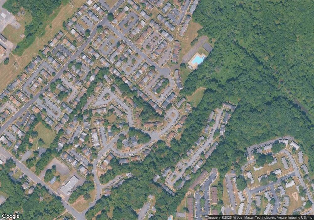
Map
Nearby Homes
- 3615 Wharf Ln
- 3681 Masthead Trail
- 1832 Fort Pulaski Ct
- 3807 Port Hope Point
- 3750 Scotsman Cove
- 2421 Kilpatrick Place
- 3837 Graham Park Rd
- 3681 Dahlgren Place
- 18245 Summit Pointe Dr
- 17961 Main St
- 18318 Sharon Rd
- 3508 Germainia Ct
- 18324 Nob Hill Dr
- 4023 White Haven Dr
- 18260 Richmond Hwy
- 17640 Washington St
- 18353 Reaper Hill Ct
- 18550 Kerill Rd
- 3209 Riverview Dr
- 17940 Alicia Ave
- 1947 Fort Monroe Ct
- 1951 Fort Monroe Ct
- 1945 Fort Monroe Ct
- 1953 Fort Monroe Ct
- 1943 Fort Monroe Ct
- 1955 Fort Monroe Ct
- 1941 Fort Monroe Ct
- 1957 Fort Monroe Ct
- 1939 Fort Monroe Ct
- 1959 Fort Monroe Ct
- 1961 Fort Monroe Ct
- 18030 Olde Port Ln
- 18028 Olde Port Ln
- 18032 Olde Port Ln
- 18026 Olde Port Ln
- 18034 Olde Port Ln
- 1937 Fort Monroe Ct
- 1963 Fort Monroe Ct
- 18036 Olde Port Ln
- 3661 Masthead Trail