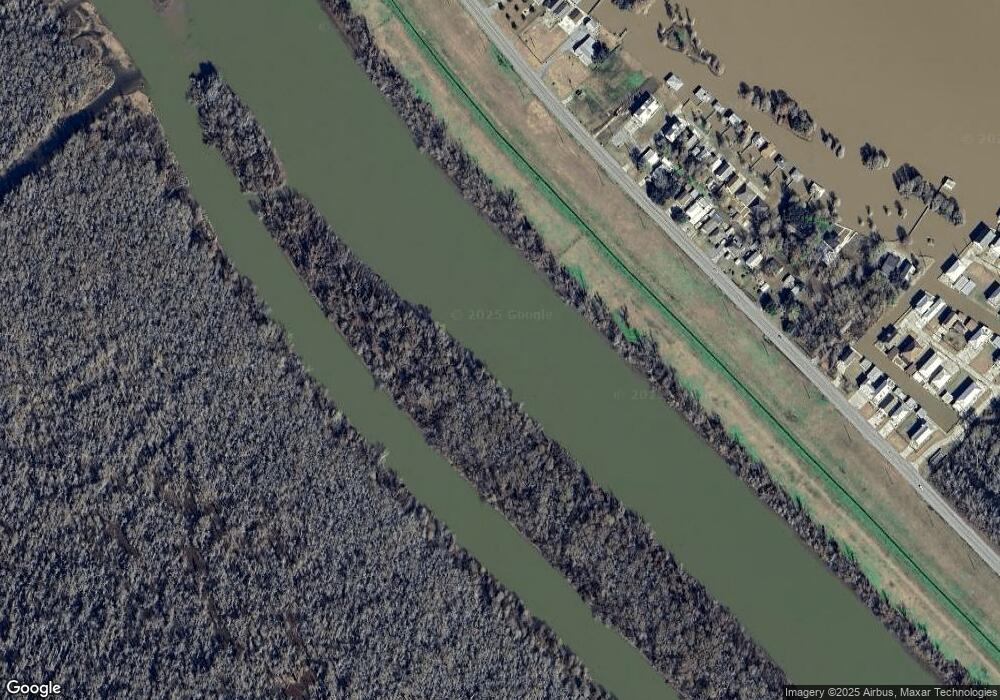
1949 Highway 70 Pierre Part, LA 70339
Saint Martin Parish NeighborhoodEstimated Value: $422,000 - $515,834
--
Bed
--
Bath
1,008
Sq Ft
$462/Sq Ft
Est. Value
About This Home
This home is located at 1949 Highway 70, Pierre Part, LA 70339 and is currently estimated at $465,209, approximately $461 per square foot. 1949 Highway 70 is a home.
Ownership History
Date
Name
Owned For
Owner Type
Purchase Details
Closed on
Sep 15, 2015
Sold by
Kessler Paul Buckley and Kessler Denise Theriot
Bought by
Esquivel Donald P and Esquivel Cynthia B
Current Estimated Value
Home Financials for this Owner
Home Financials are based on the most recent Mortgage that was taken out on this home.
Original Mortgage
$285,600
Outstanding Balance
$224,397
Interest Rate
3.92%
Mortgage Type
New Conventional
Estimated Equity
$240,812
Create a Home Valuation Report for This Property
The Home Valuation Report is an in-depth analysis detailing your home's value as well as a comparison with similar homes in the area
Home Values in the Area
Average Home Value in this Area
Purchase History
| Date | Buyer | Sale Price | Title Company |
|---|---|---|---|
| Esquivel Donald P | $357,000 | Stewart Title Guaranty |
Source: Public Records
Mortgage History
| Date | Status | Borrower | Loan Amount |
|---|---|---|---|
| Open | Esquivel Donald P | $285,600 |
Source: Public Records
Tax History Compared to Growth
Tax History
| Year | Tax Paid | Tax Assessment Tax Assessment Total Assessment is a certain percentage of the fair market value that is determined by local assessors to be the total taxable value of land and additions on the property. | Land | Improvement |
|---|---|---|---|---|
| 2024 | $1,843 | $14,860 | $5,770 | $9,090 |
| 2023 | $1,685 | $13,230 | $5,770 | $7,460 |
| 2022 | $1,694 | $13,230 | $5,770 | $7,460 |
| 2021 | $1,697 | $13,230 | $5,770 | $7,460 |
| 2020 | $1,735 | $13,230 | $5,770 | $7,460 |
| 2019 | $1,694 | $13,010 | $5,500 | $7,510 |
| 2018 | $1,677 | $13,010 | $5,500 | $7,510 |
| 2017 | $1,684 | $13,010 | $5,500 | $7,510 |
| 2016 | $1,633 | $18,510 | $11,000 | $7,510 |
| 2015 | $530 | $4,100 | $4,100 | $0 |
| 2014 | $269 | $2,050 | $2,050 | $0 |
| 2013 | $269 | $4,100 | $4,100 | $0 |
Source: Public Records
Map
Nearby Homes
- 678 Paige Ln
- 669 Michel Rd
- 104 Michel Rd
- 114 Michel Rd
- 108 Michel Rd
- 110 Michel Rd
- 112 Michel Rd
- 638 Michel Rd
- 116 Michel Rd
- 601 Michel Rd
- Part 17-18 P E Cajun Rd
- 246 Bayou Tranquille Rd
- 254 Bayou Tranquille Rd
- 278 Bayou Tranquille Rd
- 290 Bayou Tranquille Rd
- 308 Bayou Tranquille Rd
- 336 Bayou Tranquille Rd
- 238 Michel Rd
- 128 Pier 19 Dr
- 100 Pier 19 Dr
- 1951 Highway 70
- 1967 Louisiana 70 Unit C
- 1969 Louisiana 70
- 1969 Highway 70
- 1971 Louisiana 70
- 1945, 1949 La Hwy 70
- 1024 Paradise Ln
- 1990 Louisiana 70
- 1959 Highway 70
- 1995 Louisiana 70
- 1985 Highway 70
- 1019 Willow Dr
- 1034 Blue Heron Ln
- 1015 Willow Dr
- 1001 Cypress Cove St
- 1001 Cypress Cove St
- 1011 Willow St
- 1049 Cypress Cove St
- 1008 Willow Dr
- 1056 Cypress Cove St
