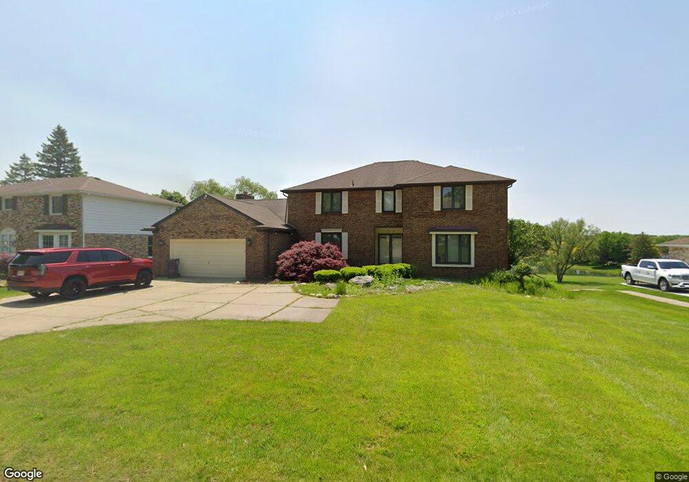
1949 Kilburn Rd N Unit Bldg-Unit Rochester Hills, MI 48306
Estimated Value: $613,122 - $712,000
4
Beds
4
Baths
3,447
Sq Ft
$190/Sq Ft
Est. Value
About This Home
This home is located at 1949 Kilburn Rd N Unit Bldg-Unit, Rochester Hills, MI 48306 and is currently estimated at $654,781, approximately $189 per square foot. 1949 Kilburn Rd N Unit Bldg-Unit is a home located in Oakland County with nearby schools including Brewster Elementary School, Van Hoosen Middle School, and Rochester Adams High School.
Ownership History
Date
Name
Owned For
Owner Type
Purchase Details
Closed on
Dec 18, 2012
Sold by
Koval Michael P and Koval Kathryn M
Bought by
U S Bank National Association
Current Estimated Value
Purchase Details
Closed on
Mar 30, 2010
Sold by
Mortgage Electronic Registration Systems
Bought by
Bank Of America National Association
Purchase Details
Closed on
Mar 23, 2010
Sold by
Koval Michael P and Koval Kathryn M
Bought by
Mortgage Electronic Registration Systems
Purchase Details
Closed on
Aug 5, 1998
Sold by
Jickling Thomas J
Bought by
Koval Michael P
Create a Home Valuation Report for This Property
The Home Valuation Report is an in-depth analysis detailing your home's value as well as a comparison with similar homes in the area
Home Values in the Area
Average Home Value in this Area
Purchase History
| Date | Buyer | Sale Price | Title Company |
|---|---|---|---|
| U S Bank National Association | $353,489 | None Available | |
| Bank Of America National Association | -- | None Available | |
| Mortgage Electronic Registration Systems | $230,000 | None Available | |
| Koval Michael P | $325,000 | -- |
Source: Public Records
Tax History Compared to Growth
Tax History
| Year | Tax Paid | Tax Assessment Tax Assessment Total Assessment is a certain percentage of the fair market value that is determined by local assessors to be the total taxable value of land and additions on the property. | Land | Improvement |
|---|---|---|---|---|
| 2022 | $4,669 | $227,190 | $0 | $0 |
| 2018 | $7,827 | $199,670 | $0 | $0 |
| 2017 | $7,589 | $196,730 | $0 | $0 |
| 2015 | -- | $175,030 | $0 | $0 |
| 2014 | -- | $147,230 | $0 | $0 |
| 2011 | -- | $124,710 | $0 | $0 |
Source: Public Records
Map
Nearby Homes
- 2935 Woodford Cir
- 1609 Kilburn Rd N
- 5826 Murfield Dr
- 3273 Salem Dr
- 5724 Murfield Dr
- 2821 Addison Cir S
- 1515 Chevy Circuit
- 1906 Independence Ct
- 3377 Charlwood Dr
- 3185 Saint James Ct
- 3674 Merriweather Ln
- 5350 Brewster Rd
- 2750 Castlemartin Ct Unit 22
- 5700 Rolling Hills Dr
- 2794 Castlemartin Ct
- 5537 Orchard Ridge Dr
- 5466 Orchard Ridge Dr
- 1102 Cobridge Dr
- 2879 Hastings Ct Unit 73
- 3582 Tremonte Cir S Unit 276
- 1949 Kilburn Rd N
- 1943 Kilburn Rd N
- 1955 Kilburn Rd N
- 2888 Kilburn Ct
- 1937 N Kilburn Rd
- 1937 Kilburn Rd N
- 1950 Kilburn Rd N
- 1961 Kilburn Rd N
- 1931 Kilburn Rd N
- 1944 Kilburn Rd N
- 1956 Kilburn Rd N
- 2878 Kilburn Ct
- 2897 Kilburn Ct
- 1967 Kilburn Rd N
- 1962 Kilburn Rd N
- 1930 Kilburn Rd N
- 1835 Kilburn Rd N
- 2868 Kilburn Ct
- 1973 Kilburn Rd N Unit Bldg-Unit
- 1973 Kilburn Rd N