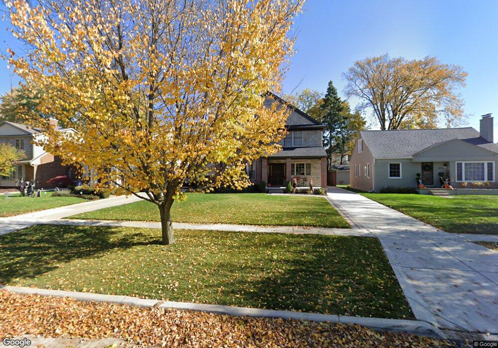
1949 Maryland Blvd Unit Bldg-Unit Birmingham, MI 48009
Estimated Value: $944,000 - $1,241,000
4
Beds
4
Baths
2,500
Sq Ft
$409/Sq Ft
Est. Value
About This Home
This home is located at 1949 Maryland Blvd Unit Bldg-Unit, Birmingham, MI 48009 and is currently estimated at $1,023,307, approximately $409 per square foot. 1949 Maryland Blvd Unit Bldg-Unit is a home located in Oakland County with nearby schools including Pierce Elementary School, Derby Middle School, and Ernest W. Seaholm High School.
Ownership History
Date
Name
Owned For
Owner Type
Purchase Details
Closed on
Jul 30, 2025
Sold by
Killiany Miriam B
Bought by
Miriam Killiany Revocable Trust and Killiany
Current Estimated Value
Purchase Details
Closed on
Mar 8, 2024
Sold by
Morganti Andrew
Bought by
Killiany Miriam
Purchase Details
Closed on
Jan 11, 2019
Sold by
Ibsa Llc
Bought by
Moganti Andrew
Purchase Details
Closed on
Jul 18, 2011
Sold by
Awad Shady and Bilbeisi Ismael
Bought by
Ibsa Llc
Purchase Details
Closed on
Oct 27, 2005
Sold by
Awad Shady
Bought by
Awad Shady and Belbeisi Ismael
Create a Home Valuation Report for This Property
The Home Valuation Report is an in-depth analysis detailing your home's value as well as a comparison with similar homes in the area
Home Values in the Area
Average Home Value in this Area
Purchase History
| Date | Buyer | Sale Price | Title Company |
|---|---|---|---|
| Miriam Killiany Revocable Trust | -- | None Listed On Document | |
| Miriam Killiany Revocable Trust | -- | None Listed On Document | |
| Killiany Miriam | $890,000 | Premier Title | |
| Killiany Miriam | $890,000 | Premier Title | |
| Moganti Andrew | $550,000 | Speedy T&E Services Llc | |
| Ibsa Llc | -- | None Available | |
| Awad Shady | -- | None Available |
Source: Public Records
Tax History Compared to Growth
Tax History
| Year | Tax Paid | Tax Assessment Tax Assessment Total Assessment is a certain percentage of the fair market value that is determined by local assessors to be the total taxable value of land and additions on the property. | Land | Improvement |
|---|---|---|---|---|
| 2024 | $11,213 | $363,250 | $0 | $0 |
| 2023 | $10,745 | $339,870 | $0 | $0 |
| 2022 | $11,520 | $329,870 | $0 | $0 |
| 2021 | $11,622 | $294,390 | $0 | $0 |
| 2020 | $10,355 | $285,080 | $0 | $0 |
| 2019 | $7,958 | $278,950 | $0 | $0 |
| 2018 | $9,791 | $282,540 | $0 | $0 |
| 2017 | $9,651 | $278,400 | $0 | $0 |
| 2016 | $9,610 | $272,570 | $0 | $0 |
| 2015 | -- | $264,200 | $0 | $0 |
| 2014 | -- | $249,500 | $0 | $0 |
| 2011 | -- | $165,450 | $0 | $0 |
Source: Public Records
Map
Nearby Homes
- 1748 Stanley Blvd
- 1723 Birmingham Blvd
- 1626 Maryland Blvd
- 1850 Shipman Blvd
- 1992 Shipman Blvd
- 1886 Henrietta St
- 16975 W Fourteen Mile Rd
- 1978 Henrietta St
- 16991 Kirkshire Ave
- 1541 Shipman Blvd
- 955 Wakefield St
- 150 Bird Ave Unit 20
- 1323 Washington Blvd
- 251 E 14 Mile Rd
- 1419 Henrietta St
- 16950 Kinross Ave
- 16281 Buckingham Ave
- 1897 Norfolk St
- 1205 S Bates St
- 1053 Canterbury St
- 1949 Maryland Blvd
- 1927 Maryland Blvd
- 1973 Maryland Blvd
- 1905 Maryland Blvd
- 1991 Maryland Blvd
- 1930 Stanley Blvd
- 1968 Stanley Blvd
- 1893 Maryland Blvd
- 1914 Stanley Blvd Unit Bldg-Unit
- 1914 Stanley Blvd
- 1992 Stanley Blvd
- 1904 Maryland Blvd
- 1896 Stanley Blvd
- 17401 W Fourteen Mile Rd
- 1948 Maryland Blvd
- 1877 Maryland Blvd
- 1972 Maryland Blvd
- 1926 Maryland Blvd
- 1990 Maryland Blvd
- 1884 Stanley Blvd