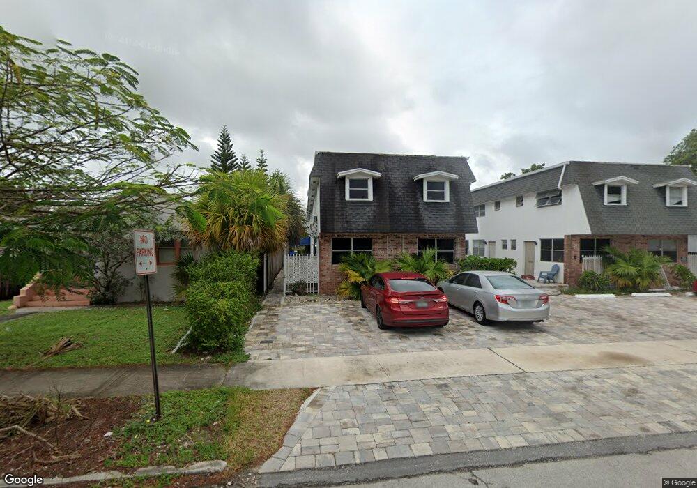
1949 Taylor St Unit 12 Hollywood, FL 33020
Royal Poinciana NeighborhoodEstimated Value: $118,177 - $326,000
2
Beds
1
Bath
833
Sq Ft
$224/Sq Ft
Est. Value
About This Home
This home is located at 1949 Taylor St Unit 12, Hollywood, FL 33020 and is currently estimated at $186,794, approximately $224 per square foot. 1949 Taylor St Unit 12 is a home located in Broward County with nearby schools including Hollywood Central Elementary School, Olsen Middle School, and South Broward High School.
Ownership History
Date
Name
Owned For
Owner Type
Purchase Details
Closed on
Sep 24, 2003
Sold by
Boglioli Louis
Bought by
Boglioli Louis and Boglioli Ruth
Current Estimated Value
Purchase Details
Closed on
Nov 30, 2001
Sold by
Boglioli Louis and Boglioli Theresa
Bought by
Boglioli Louis
Purchase Details
Closed on
Jun 5, 2001
Sold by
Carolyne E Craven I
Bought by
Boglioli Louis and Boglioli Theresa
Purchase Details
Closed on
Jul 1, 1992
Sold by
Available Not
Bought by
Available Not
Create a Home Valuation Report for This Property
The Home Valuation Report is an in-depth analysis detailing your home's value as well as a comparison with similar homes in the area
Home Values in the Area
Average Home Value in this Area
Purchase History
| Date | Buyer | Sale Price | Title Company |
|---|---|---|---|
| Boglioli Louis | -- | -- | |
| Boglioli Louis | -- | -- | |
| Boglioli Louis | $45,000 | -- | |
| Available Not | $8,571 | -- |
Source: Public Records
Tax History Compared to Growth
Tax History
| Year | Tax Paid | Tax Assessment Tax Assessment Total Assessment is a certain percentage of the fair market value that is determined by local assessors to be the total taxable value of land and additions on the property. | Land | Improvement |
|---|---|---|---|---|
| 2025 | $447 | $37,780 | -- | -- |
| 2024 | $410 | $36,720 | -- | -- |
| 2023 | $410 | $35,660 | $0 | $0 |
| 2022 | $390 | $34,630 | $0 | $0 |
| 2021 | $383 | $33,630 | $0 | $0 |
| 2020 | $367 | $33,170 | $0 | $0 |
| 2019 | $471 | $32,430 | $0 | $0 |
| 2018 | $455 | $31,830 | $0 | $0 |
| 2017 | $368 | $31,180 | $0 | $0 |
| 2016 | $357 | $30,540 | $0 | $0 |
| 2015 | $342 | $30,330 | $0 | $0 |
| 2014 | $321 | $30,090 | $0 | $0 |
| 2013 | -- | $29,990 | $3,000 | $26,990 |
Source: Public Records
Map
Nearby Homes
- 2000 Polk St
- 1919 Van Buren St Unit 404
- 1919 Van Buren St Unit 321
- 1919 Van Buren St Unit 818
- 1919 Van Buren St Unit 104A
- 1900 Van Buren St Unit 320B
- 1900 Van Buren St Unit 311B
- 1900 Van Buren St Unit 105B
- 1900 Van Buren St Unit 206B
- 1900 Van Buren St Unit 317B
- 1830 Radius Dr Unit 810
- 1830 Radius Dr Unit 516
- 1830 Radius Dr Unit 1301
- 1830 Radius Dr Unit 609
- 1830 Radius Dr Unit 308
- 1830 Radius Dr Unit 604
- 1830 Radius Dr Unit 1024
- 1830 Radius Dr Unit 909
- 1830 Radius Dr Unit 1317
- 1830 Radius Dr Unit 1123
- 1953 Tyler St
- 1949 Taylor St Unit 11
- 1949 Taylor St Unit 8
- 1949 Taylor St Unit 10
- 1949 Taylor St Unit 9
- 1949 Taylor St Unit 7
- 1926 Tyler St
- 1924 Tyler St
- 1930 Tyler St
- 1922 Tyler St
- 1948 Tyler St
- 1938 Taylor St
- 1938 Taylor St
- 1934 Tyler St
- 1920 Tyler St
- 1929 Hollywood Blvd
- 1931 Hollywood Blvd
- 1933 Hollywood Blvd
- 1935 1935 Hollywood Blvd # 1 Unit 1
- 1935 Hollywood Blvd Unit A