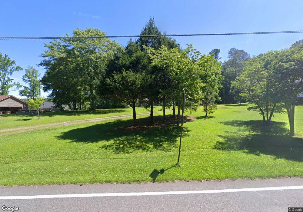
1949 Tripp Rd Woodstock, GA 30188
Union Hill NeighborhoodEstimated Value: $491,000 - $920,000
4
Beds
2
Baths
2,175
Sq Ft
$279/Sq Ft
Est. Value
About This Home
This home is located at 1949 Tripp Rd, Woodstock, GA 30188 and is currently estimated at $606,457, approximately $278 per square foot. 1949 Tripp Rd is a home located in Cherokee County with nearby schools including Arnold Mill Elementary School, Mill Creek Middle School, and River Ridge High School.
Ownership History
Date
Name
Owned For
Owner Type
Purchase Details
Closed on
Jun 29, 2018
Sold by
Moore Kenneth D
Bought by
May Kimberly J and May Chad M
Current Estimated Value
Home Financials for this Owner
Home Financials are based on the most recent Mortgage that was taken out on this home.
Original Mortgage
$176,000
Outstanding Balance
$151,890
Interest Rate
4.5%
Mortgage Type
New Conventional
Estimated Equity
$454,567
Purchase Details
Closed on
Jan 20, 2015
Sold by
Moore Chris
Bought by
Moore Kenneth D and Moore Sandra B
Create a Home Valuation Report for This Property
The Home Valuation Report is an in-depth analysis detailing your home's value as well as a comparison with similar homes in the area
Home Values in the Area
Average Home Value in this Area
Purchase History
| Date | Buyer | Sale Price | Title Company |
|---|---|---|---|
| May Kimberly J | $220,000 | -- | |
| Moore Kenneth D | -- | -- |
Source: Public Records
Mortgage History
| Date | Status | Borrower | Loan Amount |
|---|---|---|---|
| Open | May Kimberly J | $176,000 |
Source: Public Records
Tax History Compared to Growth
Tax History
| Year | Tax Paid | Tax Assessment Tax Assessment Total Assessment is a certain percentage of the fair market value that is determined by local assessors to be the total taxable value of land and additions on the property. | Land | Improvement |
|---|---|---|---|---|
| 2025 | $4,798 | $208,000 | $57,193 | $150,807 |
| 2024 | $4,759 | $207,608 | $53,200 | $154,408 |
| 2023 | $3,859 | $185,520 | $44,320 | $141,200 |
| 2022 | $3,333 | $138,000 | $43,203 | $94,797 |
| 2021 | $2,514 | $90,768 | $39,000 | $51,768 |
| 2020 | $2,259 | $81,728 | $35,520 | $46,208 |
| 2019 | $2,181 | $78,960 | $35,520 | $43,440 |
| 2018 | $2,810 | $207,760 | $59,520 | $148,240 |
| 2017 | $2,627 | $524,000 | $59,520 | $150,080 |
| 2016 | $2,627 | $488,600 | $56,960 | $138,480 |
| 2015 | $819 | $233,300 | $55,080 | $38,240 |
| 2014 | $782 | $209,000 | $46,320 | $37,280 |
Source: Public Records
Map
Nearby Homes
- 318 Heritage Overlook
- 1000 River Plantation Dr Unit I
- 5090 Eubanks Rd
- 401 Trotters Run Unit 2
- 1038 River Plantation Dr
- 106 Village Ct
- 120 Farm Gate Dr
- 207 Dunleith Dr
- 1350 Hendon Rd
- 374 Heritage Overlook
- 132 Little Brook Dr
- 232 Waters Lake Dr
- 4592 Waters Rd
- 1039 Avery Creek Dr
- 528 Wisteria Dr
- 101 Laguna Springs Dr
- 907 Andover Ct
- 1053 Walnut Creek Dr Unit I
- 200 Dahlia Dr
- 427 Silver Brook Dr
- 1949 Tripp Rd
- 2211 Tripp Rd
- 1955 Tripp Rd
- 1970 Tripp Rd
- 2368 Hendon Rd
- 1948 Tripp Rd
- 5020 Eubanks Rd
- 5040 Eubanks Rd
- 0 Eubanks Rd Unit 7210989
- 1959 Tripp Rd
- 1946 Tripp Rd
- 5051 Eubanks Rd
- 207 Olde Oak Way
- 1980 Tripp Rd
- 1961 Tripp Rd
- 205 Olde Oak Way
- 206 Olde Oak Way
- 5054 Eubanks Rd
- 2055 Hendon Rd
- 203 Olde Oak Way
