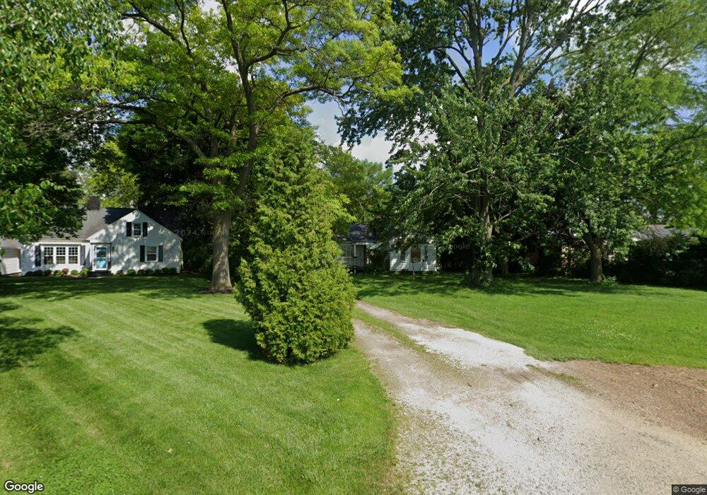
1949 Whittaker Dr Fremont, OH 43420
Estimated Value: $165,999 - $204,000
3
Beds
1
Bath
1,234
Sq Ft
$151/Sq Ft
Est. Value
About This Home
This home is located at 1949 Whittaker Dr, Fremont, OH 43420 and is currently estimated at $186,000, approximately $150 per square foot. 1949 Whittaker Dr is a home located in Sandusky County with nearby schools including Fremont Ross High School, St. Ann Catholic School, and St. Joseph School.
Ownership History
Date
Name
Owned For
Owner Type
Purchase Details
Closed on
Nov 9, 2015
Sold by
Estate Of Virginia P Dabrunz
Bought by
Danbrunz George E
Current Estimated Value
Purchase Details
Closed on
Oct 8, 2015
Sold by
Dabrunz George
Bought by
Dabrunz Scott G and Dabrunz Donna F
Purchase Details
Closed on
Apr 1, 1991
Bought by
Dabrunz Scott G and Dabrunz Donna F
Create a Home Valuation Report for This Property
The Home Valuation Report is an in-depth analysis detailing your home's value as well as a comparison with similar homes in the area
Home Values in the Area
Average Home Value in this Area
Purchase History
| Date | Buyer | Sale Price | Title Company |
|---|---|---|---|
| Danbrunz George E | -- | Attorney | |
| Dabrunz Scott G | -- | None Available | |
| Dabrunz Scott G | -- | -- |
Source: Public Records
Tax History Compared to Growth
Tax History
| Year | Tax Paid | Tax Assessment Tax Assessment Total Assessment is a certain percentage of the fair market value that is determined by local assessors to be the total taxable value of land and additions on the property. | Land | Improvement |
|---|---|---|---|---|
| 2024 | $1,433 | $47,880 | $16,240 | $31,640 |
| 2023 | $1,433 | $38,300 | $12,990 | $25,310 |
| 2022 | $1,532 | $38,300 | $12,990 | $25,310 |
| 2021 | $1,580 | $38,300 | $12,990 | $25,310 |
| 2020 | $1,526 | $36,370 | $12,990 | $23,380 |
| 2019 | $1,524 | $36,370 | $12,990 | $23,380 |
| 2018 | $1,526 | $36,370 | $12,990 | $23,380 |
| 2017 | $1,442 | $34,240 | $12,990 | $21,250 |
| 2016 | $1,270 | $34,240 | $12,990 | $21,250 |
| 2015 | $1,285 | $34,240 | $12,990 | $21,250 |
| 2014 | $1,454 | $36,900 | $14,460 | $22,440 |
| 2013 | $1,424 | $36,900 | $14,460 | $22,440 |
Source: Public Records
Map
Nearby Homes
- 1730 Port Clinton Rd Unit 41
- 1730 Port Clinton Rd
- 1730 Port Clinton Rd Unit 33
- 711 Bloom Rd
- 0 Sean Dr
- Outlot A Sean Dr
- 2100 Ohio 53
- 612 2nd St
- 900 Spring St
- 533 Sandusky Ave Unit 535
- 711 Rawson Ave
- 1441 White Ave
- 433 Sandusky Ave
- 1227 White Ave
- 340 340 Sandusky Ave
- 516 N Front St
- 322 4th St
- 224 Sandusky Ave Unit 226
- 1548 North St
- 2219 Oak Harbor Rd
- 1939 Whittaker Dr
- 2001 Whittaker Dr
- 1931 Whittaker Dr
- 236 Yacht Club Dr
- 224 Yacht Club Dr
- 248 Yacht Club Dr
- 1934 Whittaker Dr
- 2025 Whittaker Dr
- 214 Yacht Club Dr
- 1926 Riverbend Pkwy
- 2017 Port Clinton Rd
- 1929 Port Clinton Rd
- 1915 Whittaker Dr
- 1919 Port Clinton Rd
- 1929 Riverbend Pkwy
- 1939 Port Clinton Rd
- 1918 Riverbend Pkwy
- 210 Yacht Club Dr
- 1912 Whittaker Dr
- 1921 Riverbend Pkwy