1949 Winterport Cluster Reston, VA 20191
Estimated Value: $617,000 - $629,000
3
Beds
3
Baths
1,749
Sq Ft
$356/Sq Ft
Est. Value
About This Home
This home is located at 1949 Winterport Cluster, Reston, VA 20191 and is currently estimated at $621,933, approximately $355 per square foot. 1949 Winterport Cluster is a home located in Fairfax County with nearby schools including Sunrise Valley Elementary, Langston Hughes Middle School, and South Lakes High School.
Ownership History
Date
Name
Owned For
Owner Type
Purchase Details
Closed on
Jul 15, 2014
Sold by
Winterport Res Va Llc
Bought by
Gove Robert
Current Estimated Value
Home Financials for this Owner
Home Financials are based on the most recent Mortgage that was taken out on this home.
Original Mortgage
$313,600
Outstanding Balance
$238,690
Interest Rate
4.14%
Mortgage Type
New Conventional
Estimated Equity
$383,243
Purchase Details
Closed on
Jun 9, 2009
Sold by
Richardson Louis C and Richardson Catherine M
Bought by
Winterport Res Va Llc
Create a Home Valuation Report for This Property
The Home Valuation Report is an in-depth analysis detailing your home's value as well as a comparison with similar homes in the area
Home Values in the Area
Average Home Value in this Area
Purchase History
| Date | Buyer | Sale Price | Title Company |
|---|---|---|---|
| Gove Robert | $392,000 | -- | |
| Winterport Res Va Llc | -- | -- |
Source: Public Records
Mortgage History
| Date | Status | Borrower | Loan Amount |
|---|---|---|---|
| Open | Gove Robert | $313,600 |
Source: Public Records
Tax History
| Year | Tax Paid | Tax Assessment Tax Assessment Total Assessment is a certain percentage of the fair market value that is determined by local assessors to be the total taxable value of land and additions on the property. | Land | Improvement |
|---|---|---|---|---|
| 2025 | $6,380 | $568,060 | $165,000 | $403,060 |
| 2024 | $6,380 | $529,220 | $165,000 | $364,220 |
| 2023 | $6,077 | $517,000 | $165,000 | $352,000 |
| 2022 | $5,768 | $504,420 | $155,000 | $349,420 |
| 2021 | $5,604 | $459,150 | $150,000 | $309,150 |
| 2020 | $5,319 | $432,260 | $135,000 | $297,260 |
| 2019 | $5,178 | $420,830 | $135,000 | $285,830 |
| 2018 | $4,522 | $393,220 | $121,000 | $272,220 |
| 2017 | $4,446 | $368,040 | $115,000 | $253,040 |
| 2016 | $4,437 | $368,040 | $115,000 | $253,040 |
Source: Public Records
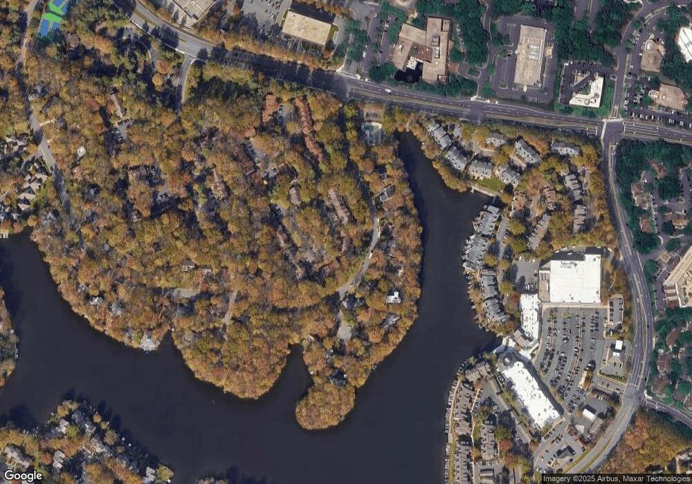
Map
Nearby Homes
- 1933 Lakeport Way
- 1953 Lakeport Way
- 11262 Harbor Ct Unit 11262
- 2006 Headlands Cir
- 1951 Sagewood Ln Unit 619
- 11308 Geddys Ct
- 11117 Little Compton Dr
- 11236 Faraday Park Dr
- 1870 Easterly Rd
- 2114 Whisperwood Glen Ln
- 2148 Whisperwood Glen Ln
- 10921 Harpers Square Ct
- 11144 Beaver Trail Ct Unit 11144
- 11116 Beaver Trail Ct Unit 11116
- 2005 Wethersfield Ct
- 2111 Lirio Ct
- 1820 Reston Row Plaza Unit 1604
- 11566 Rolling Green Ct Unit 12/200A
- 2000 Homer Terrace
- 10900 Sunset Hills Rd
- 1949 Winterport Cluster
- 1951 Winterport Cluster
- 1953 Winterport Cluster
- 1953 Winterport Cluster
- 1953 Winterport Cluster
- 1947 Winterport Cluster
- 1949 Winterport Cluster
- 1955 Winterport Cluster
- 1945 Winterport Cluster
- 1943 Winterport Cluster
- 1990 Winterport Cluster
- 1990 Winterport Cluster
- 1941 Winterport Cluster
- 1988 Winterport Cluster
- 1939 Winterport Cluster
- 1986 Winterport Cluster
- 1937 Winterport Cluster
- 1937 Winterport Cluster
- 1937 Winterport Cluster
- 1984 Winterport Cluster
Your Personal Tour Guide
Ask me questions while you tour the home.