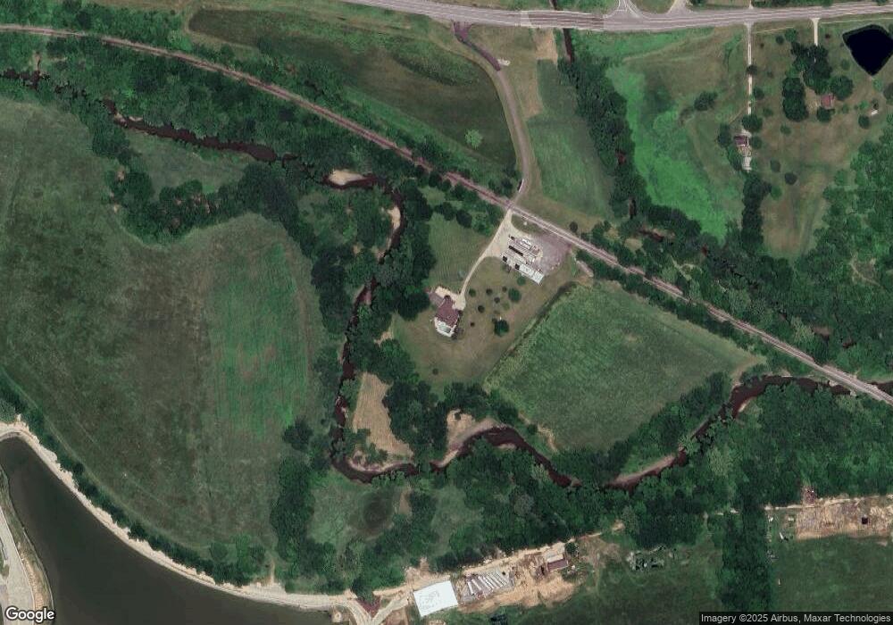
19499 State Route 1 Lawrenceburg, IN 47025
Estimated Value: $493,000 - $697,185
3
Beds
3
Baths
2,352
Sq Ft
$240/Sq Ft
Est. Value
About This Home
This home is located at 19499 State Route 1, Lawrenceburg, IN 47025 and is currently estimated at $564,062, approximately $239 per square foot. 19499 State Route 1 is a home located in Dearborn County with nearby schools including East Central High School.
Ownership History
Date
Name
Owned For
Owner Type
Purchase Details
Closed on
Jun 29, 2010
Sold by
Feiss Theodore W and Feiss Tarry L
Bought by
State Of Indiana
Current Estimated Value
Create a Home Valuation Report for This Property
The Home Valuation Report is an in-depth analysis detailing your home's value as well as a comparison with similar homes in the area
Home Values in the Area
Average Home Value in this Area
Purchase History
| Date | Buyer | Sale Price | Title Company |
|---|---|---|---|
| State Of Indiana | $11,700 | -- |
Source: Public Records
Tax History Compared to Growth
Tax History
| Year | Tax Paid | Tax Assessment Tax Assessment Total Assessment is a certain percentage of the fair market value that is determined by local assessors to be the total taxable value of land and additions on the property. | Land | Improvement |
|---|---|---|---|---|
| 2024 | $4,984 | $421,500 | $79,500 | $342,000 |
| 2023 | $5,425 | $421,600 | $71,600 | $350,000 |
| 2022 | $5,578 | $429,900 | $63,300 | $366,600 |
| 2021 | $5,122 | $387,300 | $58,900 | $328,400 |
| 2020 | $5,160 | $395,400 | $58,700 | $336,700 |
| 2019 | $5,285 | $401,500 | $64,500 | $337,000 |
| 2018 | $4,230 | $330,600 | $65,600 | $265,000 |
| 2017 | $4,416 | $334,100 | $70,600 | $263,500 |
| 2016 | $4,566 | $349,100 | $72,900 | $276,200 |
| 2014 | $4,555 | $344,600 | $74,700 | $269,900 |
| 2013 | $4,555 | $330,400 | $68,700 | $261,700 |
Source: Public Records
Map
Nearby Homes
- 0 Inghams Mill Ln Unit 205574
- Drexel Plan at The Crossing at Tanners Creek
- Rockford Plan at The Crossing at Tanners Creek
- Sanibel Plan at The Crossing at Tanners Creek
- Somerset Plan at The Crossing at Tanners Creek
- Longwood Plan at The Crossing at Tanners Creek
- Avalon Plan at The Crossing at Tanners Creek
- Dallas Plan at The Crossing at Tanners Creek
- 18815 Rileys Ridge
- 18826 Casey's Trail
- 0 Timberline Trail Unit 198823
- 2504 Cove Cir W
- 2458 Cedar Cliff Dr
- 0 E Cove Cir Unit 206233
- 19358 Par Dr
- 19278 Par Dr
- 20072 Cravenhurst Dr
- 19930 Alpine Dr
- 20000 Cravenhurst Dr
- 20074 Ravenda Dr
- 19421 State Route 1
- 529 Madison Ridge Rd
- 472 Muirfield Point
- 456 Muirfield Point
- 21 Leah Ln
- 19415 State Route 1
- 19440 State Route 1
- 19422 State Route 1
- 19570 Salt Fork Rd
- 19550 Salt Fork Rd
- 19564 State Route 1
- 19254 Perfect Place Ln
- 19254 Perfect Place Ln
- 19642 Salt Fork Rd
- 19658 Salt Fork Rd
- 19394 State Route 1
- 19672 Salt Fork Rd
- 19447 Whitaker Ln
- 19724 Salt Fork Rd
- 19640 State Route 1