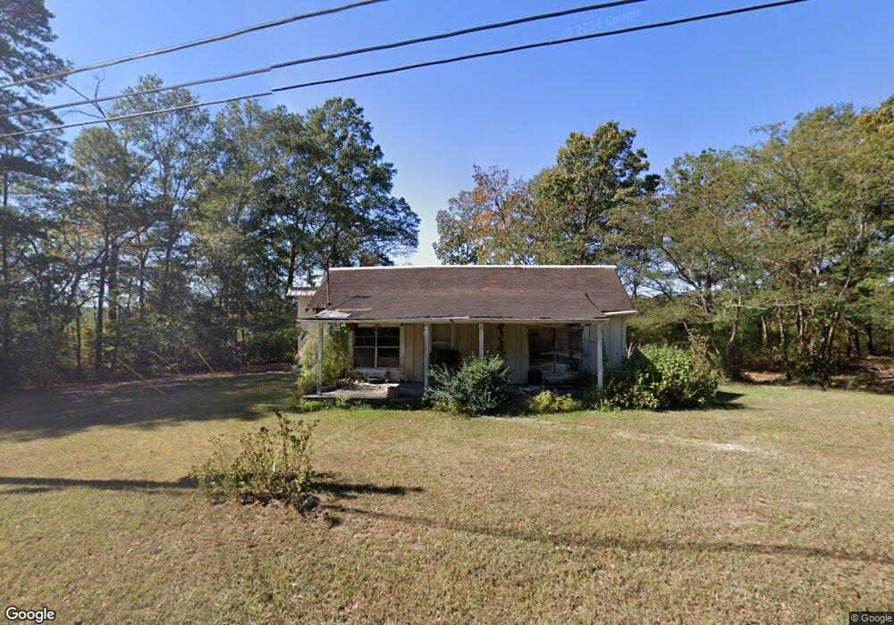
195 Airport Rd Cedartown, GA 30125
Estimated Value: $142,625 - $208,000
2
Beds
1
Bath
1,130
Sq Ft
$155/Sq Ft
Est. Value
About This Home
This home is located at 195 Airport Rd, Cedartown, GA 30125 and is currently estimated at $175,406, approximately $155 per square foot. 195 Airport Rd is a home located in Polk County.
Ownership History
Date
Name
Owned For
Owner Type
Purchase Details
Closed on
Mar 29, 1989
Sold by
Teems Dana E
Bought by
Franklin Irene Upton
Current Estimated Value
Purchase Details
Closed on
Feb 22, 1989
Sold by
Johnson Donald and Johnson Tal
Bought by
Teems Cecil C
Purchase Details
Closed on
Nov 3, 1972
Sold by
Kirby Hoyt M
Bought by
Johnson Clarence L
Purchase Details
Closed on
Jul 23, 1971
Sold by
Campbell J M
Bought by
Kirby Hoty M
Purchase Details
Closed on
Feb 16, 1971
Sold by
Streetman C E
Bought by
Campbell J M
Purchase Details
Closed on
Mar 11, 1964
Bought by
Streetman C E
Create a Home Valuation Report for This Property
The Home Valuation Report is an in-depth analysis detailing your home's value as well as a comparison with similar homes in the area
Home Values in the Area
Average Home Value in this Area
Purchase History
| Date | Buyer | Sale Price | Title Company |
|---|---|---|---|
| Franklin Irene Upton | $9,000 | -- | |
| Teems Dana E | $8,000 | -- | |
| Teems Cecil C | $5,000 | -- | |
| Johnson Clarence L | -- | -- | |
| Kirby Hoty M | -- | -- | |
| Campbell J M | -- | -- | |
| Streetman C E | -- | -- |
Source: Public Records
Tax History Compared to Growth
Tax History
| Year | Tax Paid | Tax Assessment Tax Assessment Total Assessment is a certain percentage of the fair market value that is determined by local assessors to be the total taxable value of land and additions on the property. | Land | Improvement |
|---|---|---|---|---|
| 2024 | $566 | $27,078 | $8,208 | $18,870 |
| 2023 | $477 | $20,115 | $8,208 | $11,907 |
| 2022 | $371 | $15,638 | $5,472 | $10,166 |
| 2021 | $376 | $15,638 | $5,472 | $10,166 |
| 2020 | $377 | $15,638 | $5,472 | $10,166 |
| 2019 | $293 | $10,892 | $5,472 | $5,420 |
| 2018 | $295 | $10,692 | $5,472 | $5,220 |
| 2017 | $291 | $10,692 | $5,472 | $5,220 |
| 2016 | $252 | $9,273 | $4,053 | $5,220 |
| 2015 | $256 | $9,383 | $4,053 | $5,330 |
| 2014 | $258 | $9,383 | $4,053 | $5,330 |
Source: Public Records
Map
Nearby Homes
- 0 Bethlehem Rd Unit 10622470
- 3825 Rockmart Hwy
- 2020 Old Cedartown Rd
- 1907 Old Cedartown Rd
- 0 Pine Mountain Rd Unit 7662185
- 482 Pine Mountain Rd
- 0 Pine Mountain Rd Unit 10478395
- 0 Pine Mountain Rd Unit 7540784
- 2056 Bellview Rd
- 394 Knight Rd
- 1157 Stringer Rd
- 0 Richard Pullen Rd Unit 7626794
- 0 Richard Pullen Rd Unit 10577442
- 0 Benefield Rd Unit 10405501
- 0 Benefield Rd Unit 7479734
- 65 Wheeler Rd
- 94 Wimberly Hill Loop
- 600 Grady Rd
- 93 Clay Rd
- 1039 Old Cedartown Rd