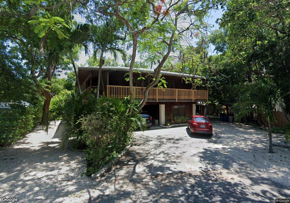
195 Atlantic Circle Dr Unit DRIV Tavernier, FL 33070
Estimated Value: $686,000 - $947,000
3
Beds
3
Baths
2,409
Sq Ft
$339/Sq Ft
Est. Value
About This Home
This home is located at 195 Atlantic Circle Dr Unit DRIV, Tavernier, FL 33070 and is currently estimated at $815,862, approximately $338 per square foot. 195 Atlantic Circle Dr Unit DRIV is a home located in Monroe County with nearby schools including Plantation Key School, Coral Shores High School, and Ocean Studies Charter School.
Ownership History
Date
Name
Owned For
Owner Type
Purchase Details
Closed on
Nov 25, 2013
Sold by
Medallion Joseph W and Licausi Carolyn
Bought by
Chambers James Sean
Current Estimated Value
Purchase Details
Closed on
Sep 1, 1991
Bought by
Chambers James Sean
Purchase Details
Closed on
Oct 1, 1987
Bought by
Chambers James Sean
Purchase Details
Closed on
May 1, 1987
Bought by
Chambers James Sean
Create a Home Valuation Report for This Property
The Home Valuation Report is an in-depth analysis detailing your home's value as well as a comparison with similar homes in the area
Home Values in the Area
Average Home Value in this Area
Purchase History
| Date | Buyer | Sale Price | Title Company |
|---|---|---|---|
| Chambers James Sean | $305,000 | Coral Reef Title Company | |
| Chambers James Sean | $101,000 | -- | |
| Chambers James Sean | $87,500 | -- | |
| Chambers James Sean | $75,000 | -- |
Source: Public Records
Tax History Compared to Growth
Tax History
| Year | Tax Paid | Tax Assessment Tax Assessment Total Assessment is a certain percentage of the fair market value that is determined by local assessors to be the total taxable value of land and additions on the property. | Land | Improvement |
|---|---|---|---|---|
| 2025 | $3,779 | $399,733 | -- | -- |
| 2024 | $3,611 | $388,468 | -- | -- |
| 2023 | $3,611 | $377,154 | $0 | $0 |
| 2022 | $3,524 | $366,169 | $0 | $0 |
| 2021 | $3,612 | $355,504 | $0 | $0 |
| 2020 | $3,601 | $350,596 | $0 | $0 |
| 2019 | $3,544 | $342,714 | $0 | $0 |
| 2018 | $3,563 | $336,324 | $0 | $0 |
| 2017 | $3,472 | $329,407 | $0 | $0 |
| 2016 | $3,497 | $322,632 | $0 | $0 |
| 2015 | $3,534 | $272,885 | $0 | $0 |
| 2014 | $3,659 | $270,639 | $0 | $0 |
Source: Public Records
Map
Nearby Homes
- 140 Tavern Dr
- 122 Ocean View Dr
- 129 Tavern Dr
- 142 N Sunrise Dr
- 146 N Sunrise Dr
- 159 Atlantic Circle Dr
- 91865 Overseas Hwy Unit 107
- 203 Tarpon St
- 200 Harborview Dr Unit 101
- 198 Lowe St
- 204 Ocean Blvd
- 264 Lincoln Ave
- 228 & 230 Apache St
- 239 Tavernier Dr
- 190 & 192 Harborview Dr
- 90291 Old Hwy
- 154 Dubonnet Rd
- 128 Old Fashion Rd
- 220 Tide Ave
- 216 Pearl Ave
- 195 Atlantic Circle Dr
- 131 Ocean View Dr
- 91731 Overseas Hwy
- 190 Atlantic Circle Dr
- 119 Ocean View Dr
- 139 Ocean View Dr
- 115 & 117 Ocean View Dr
- 140 Tavern Dr
- 183 Atlantic
- 186 Atlantic Circle Dr
- 134 Ocean View Dr
- 126 Ocean View Dr
- 91831 Overseas Hwy
- 136 Tavern Dr
- 147 Ocean View Dr
- 0 Tavern Dr Unit 562187
- 181 Atlantic Circle Dr
- 91831 Overseas Hwy
- 138 Oceanview Dr
- 91655 Overseas Hwy